Storm Journal, July 11-15 – Things Finally Kick Into Gear
Mountainwatch |Reggae Elliss
The first real storm of the winter has delivered a good amount of snow across the resorts, the result being more lifts and terrain open and a healthy base across all resorts. Prior to this storm the open terrain was limited to snowmaking areas and the skiing was all about the groomed runs and the park, with marginal conditions off piste.
How things change in a week. Last Monday, July 8, it was raining, and in his forecast the Grasshopper was advising us to hit the “snooze button” and stay in bed. However, he also had some good news with snow in the forecast, the first falls set to hit early Thursday morning followed by more late Thursday afternoon with 15-25cms likely. Friday was looking dodgy with warmer temps and a “mix of snow, slush and rain”, but the extended forecast was good:
“A second wave of cold air will wash over the Aussie Alps late Friday and early Saturday, with another hefty load of snow falling. Winds will be blowing a gale out of the W-NW as this snow falls, so some areas will be better off than others. Lighter snowfalls and cold temps should continue through Sunday and next Monday. Accumulations should be substantial for this event, mostly in the 25-40cm.”
By Friday morning the NSW resorts had received 20-30cms of snow since early Thursday morning, but it quickly turned pretty yucky, the snow level climbing during the day with rain below 1800 metres and wet snow around the peaks. As usual people were checking the temps every 30 mins and there was also a lot speculation about when the cold air would hit, most people thinking (hoping) it would be mid-afternoon.
It turns out the Grasshopper was right with his “late Friday and early Saturday” call on the second wave of cold air, the temps finally dropping in the Victorian resorts around 8pm, while it was 11pm when the rain turned to snow in the NSW resorts.
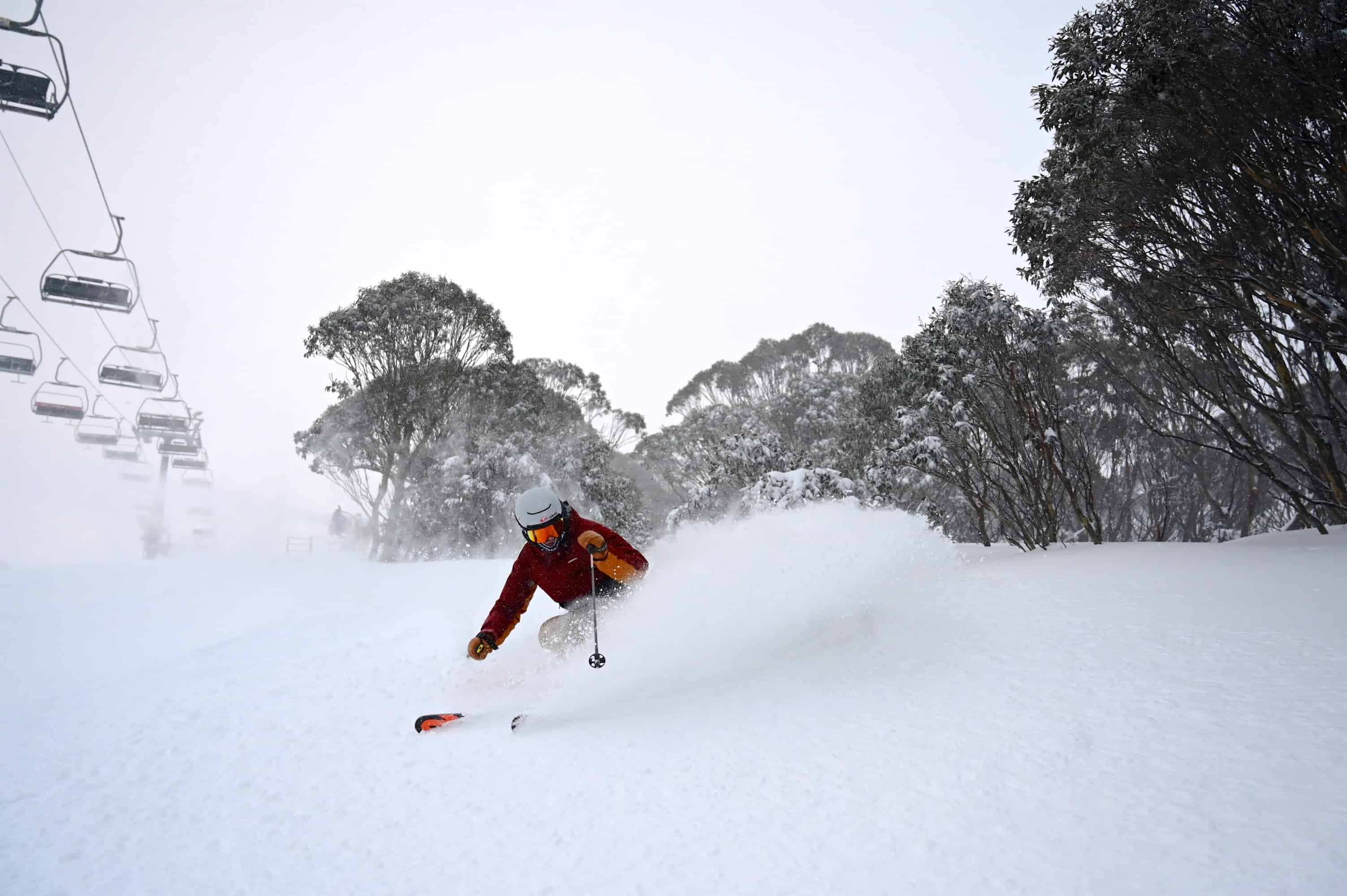
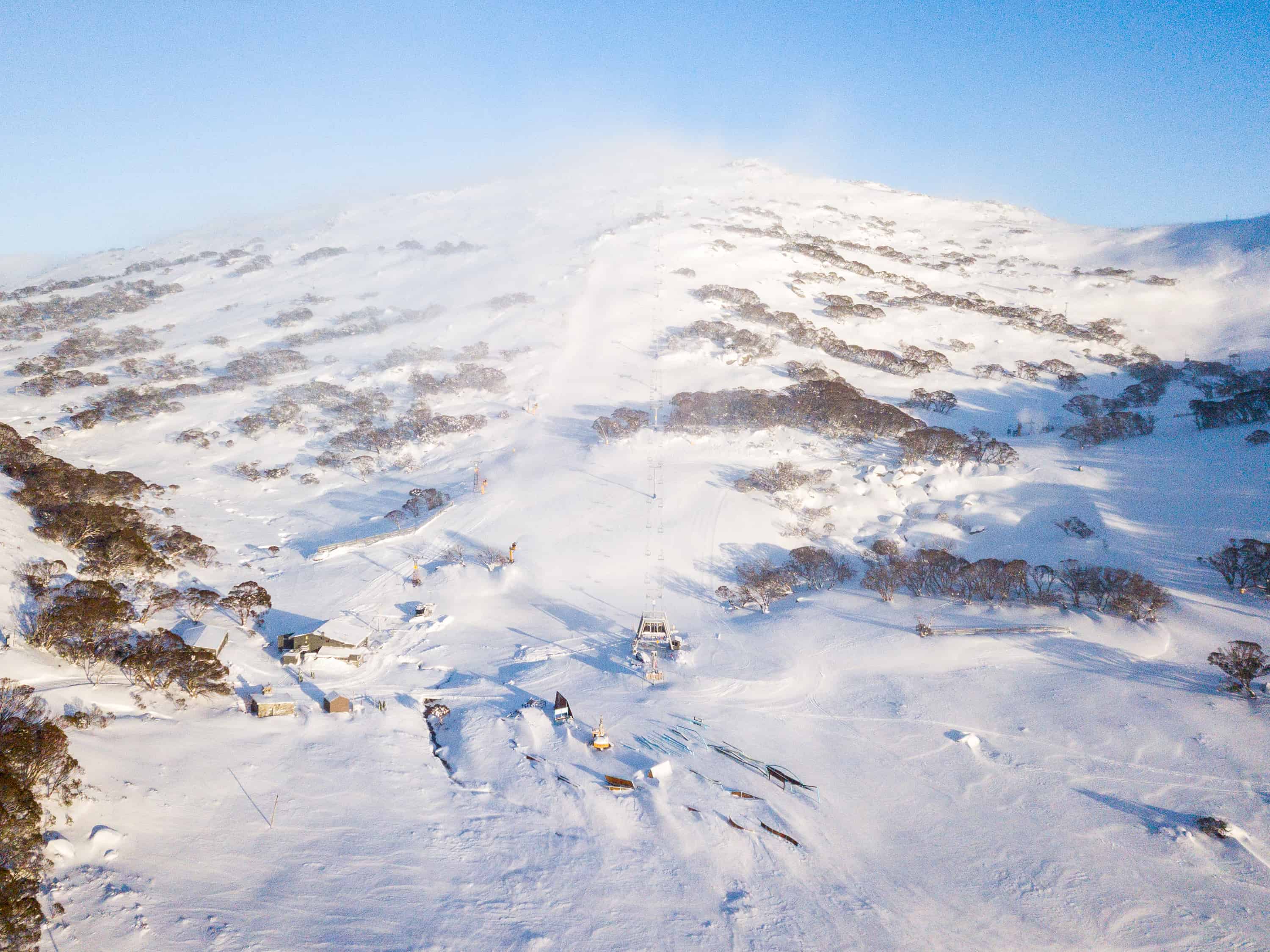
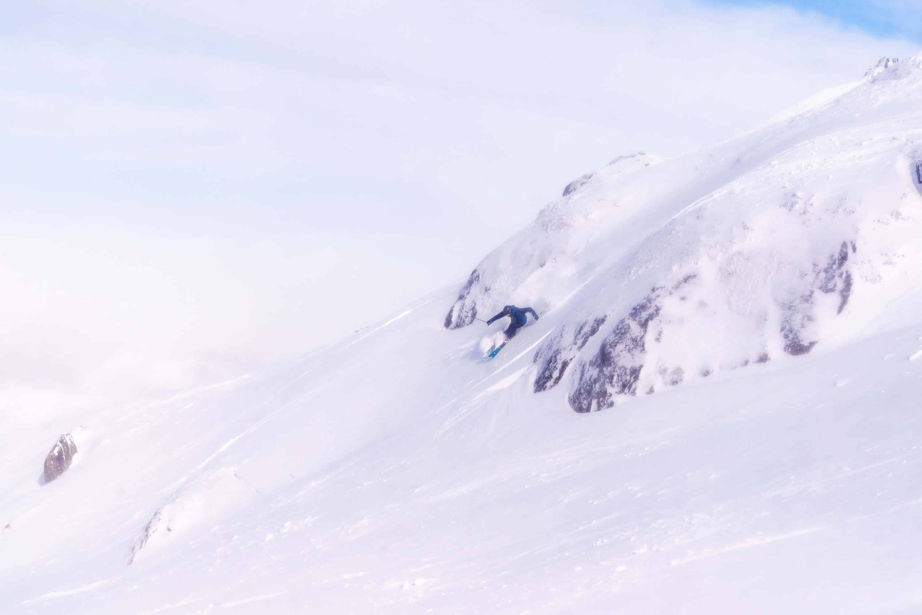
On Saturday morning Thredbo, Perisher and Charlottes had received another 20cms of snow, Falls and Hotham 16cms and Buller 8cms. The wind was around 50-60ks out of the WNW winds and the temps had plummeted down to -6 and there was a good cover of dry fresh snow across all resorts.
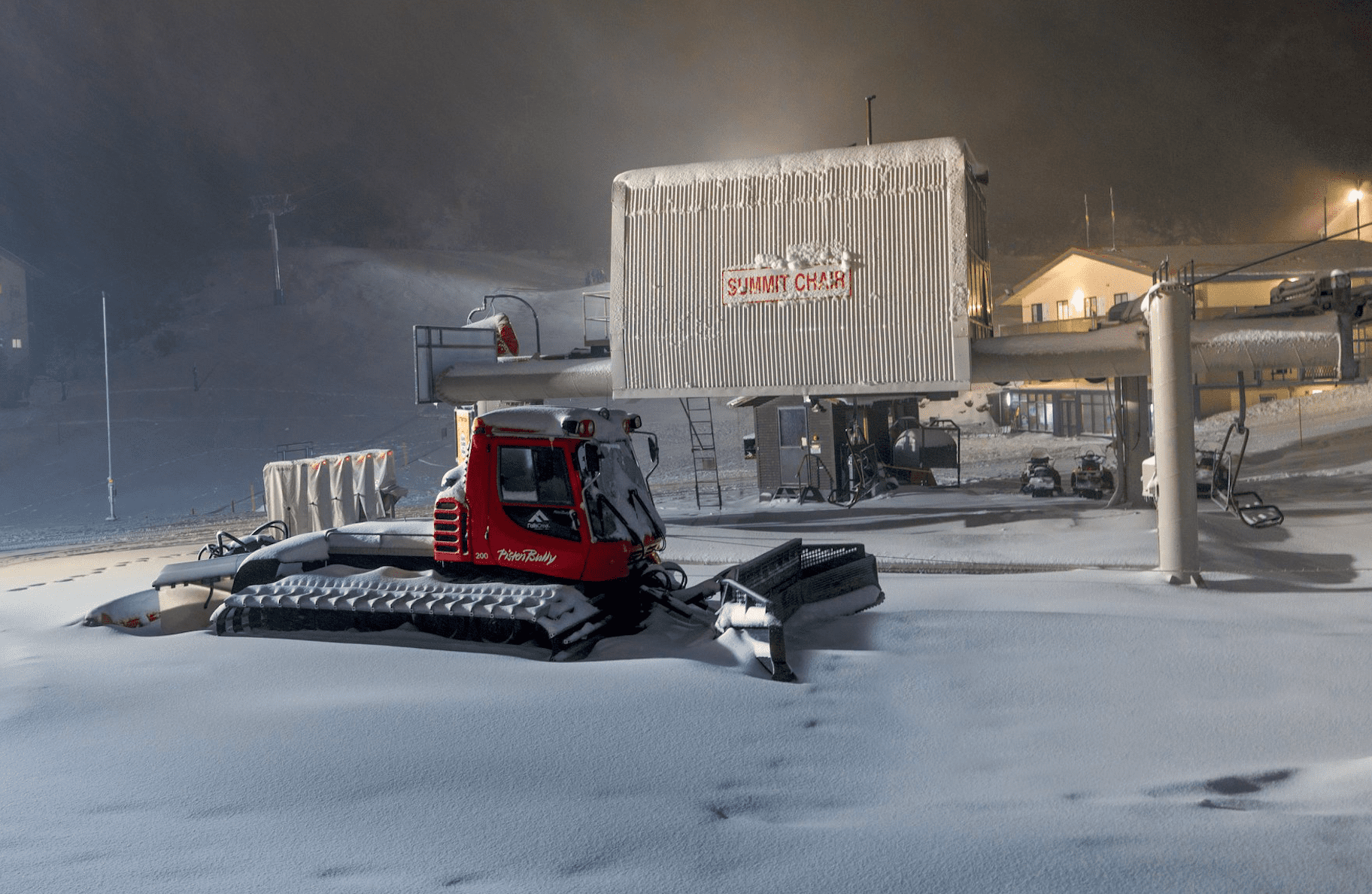
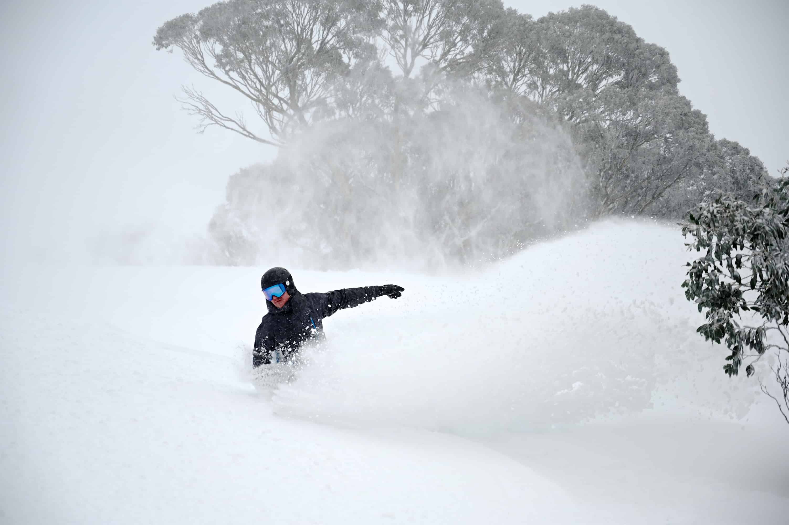
The wind has been strong at times over the past few days, but yesterday they went into overdrive, with blizzard conditions as the wind ramped up to 100ks, Thredbo Top Station registering gusts at 128km/hr in the afternoon.
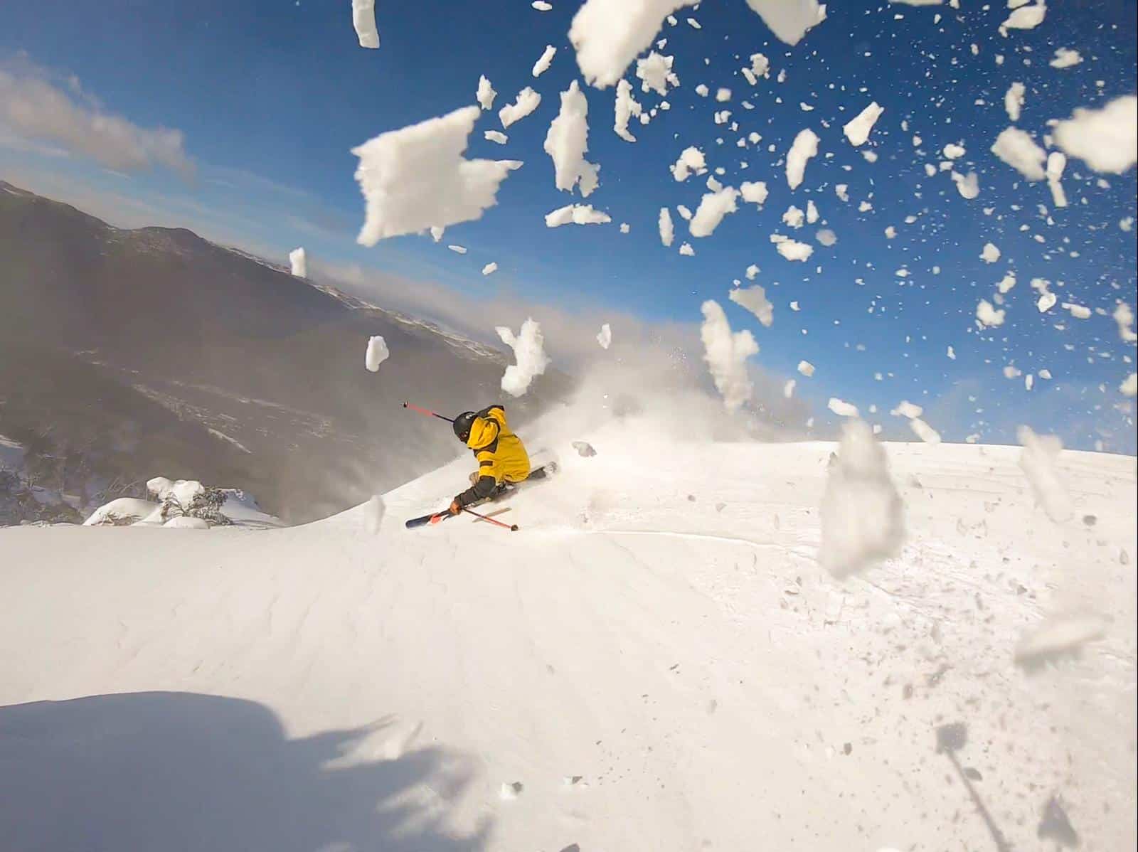
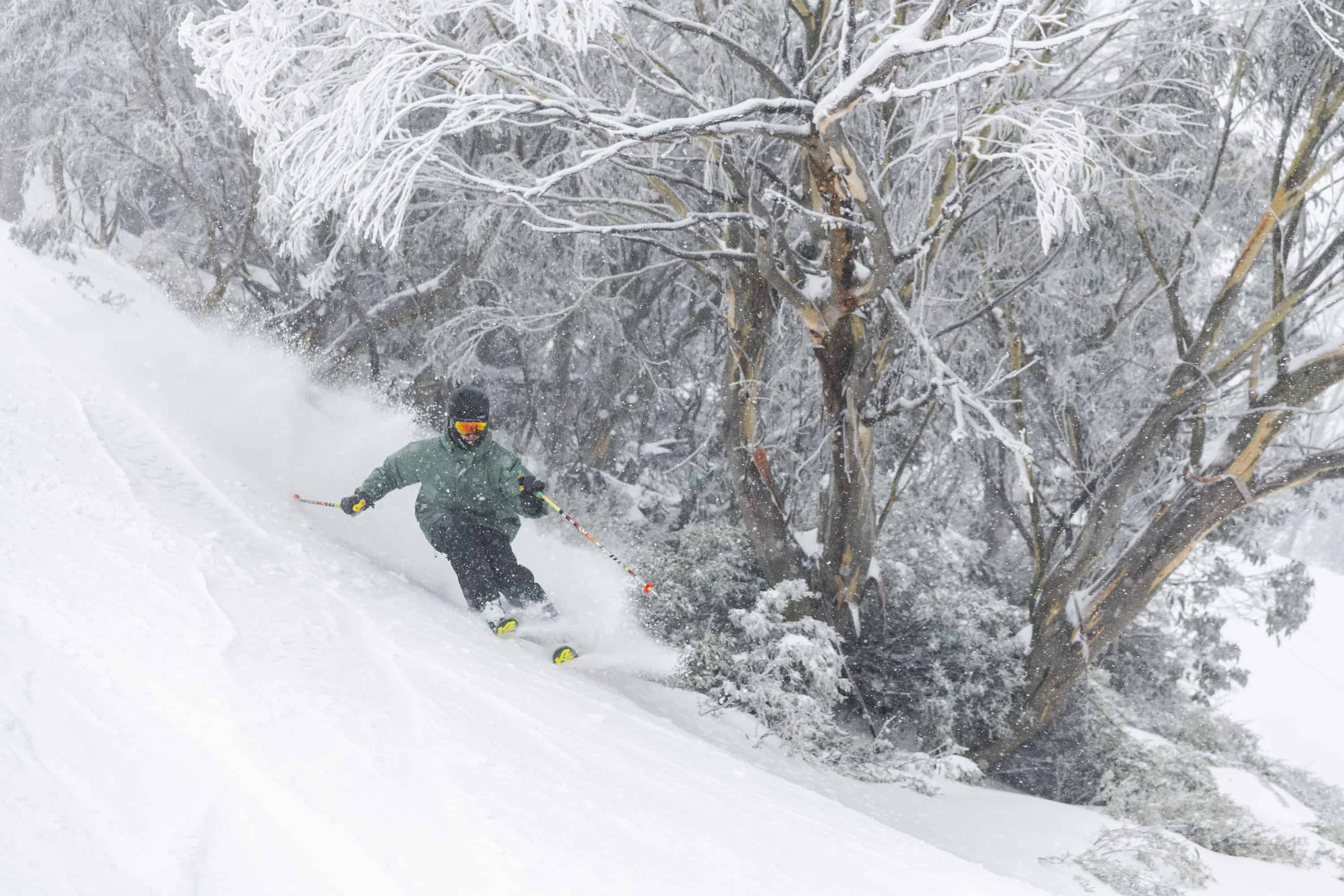
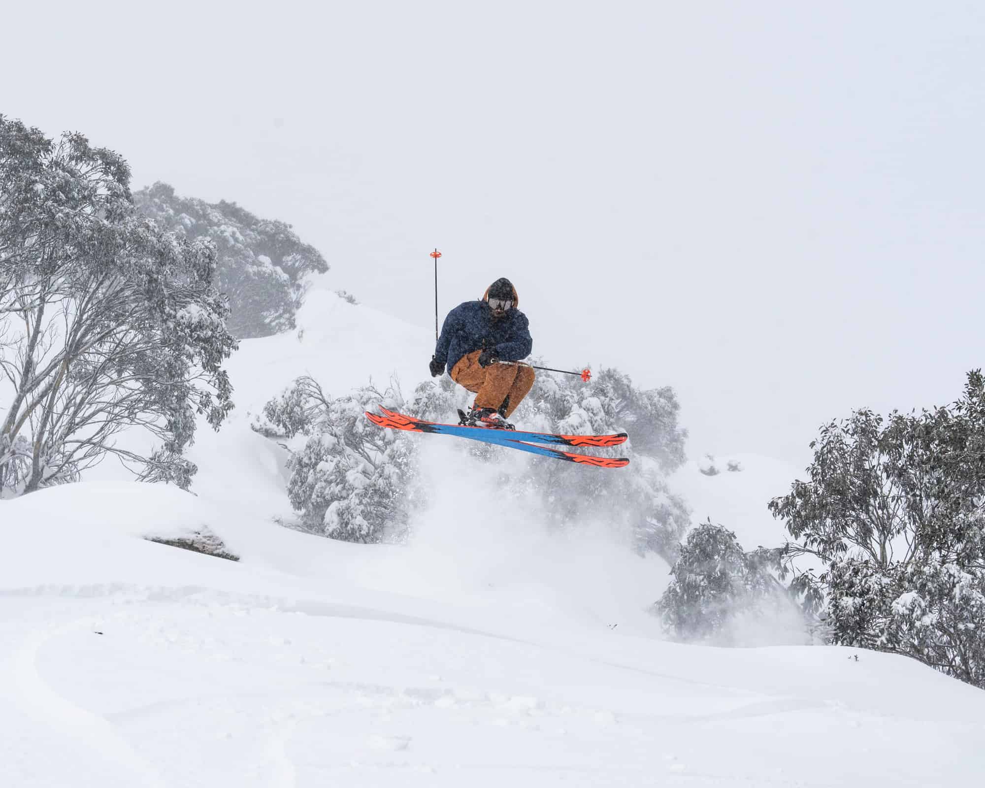
It was frustrating as the snow on Sunday morning was dry and cold with deep wind-drifts, and my first two runs were sensational. Unfortunately, the wind picked up early with most chairs on wind-hold by 11am. It was a similar story at Perisher, but the in an illustration of the value of surface lifts in a storm, the T-bars were running with plenty of powder turns around the T-bars on Mount Perisher.
In Hotham, Bill Barker described yesterday as “pretty rowdy” in his snow report this morning but went on to say we’ll see the benefit today: “The cold temperatures and swinging strong winds have been drifting the snow from all angles so the cover has seen a massive improvement over the last couple of days and the resort is looking tip top.”
The 7-day totals after this storm are pretty healthy, Perisher reporting 106cms, Thredbo 85cms, Hotham 71cms, Falls 69cms and Buller 40cms. The good news is cold temps and snow flurries will continue this week, with 10cm possible Wednesday afternoon. After that will see some sunshine followed by milder conditions on the weekend ahead of a front late in Sunday, the Grasshopper calling a mix of rain and snow.
After that it’s looking pretty good, his extended forecast today saying, “A more potent concoction cold air and storm action could be on the brew for early next week as July’s Jamboree continues.”
The video below was shot in Thredbo this morning and gives you a good idea how things have improved.


