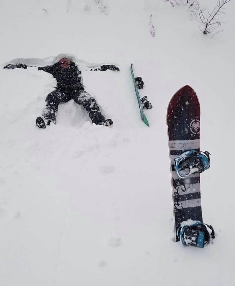
World Snow Wrap, Dec 27 – Snowing in Japan and Europe, More on the way in BC and dumping in Southern California
Mountainwatch | Reggae Elliss
It was another good week for many northern hemisphere resorts with more big falls in Europe last weekend, a nice mid-week top up in Colorado, good totals in Revelstoke and Lake Louise. Things are also on the way up in japan with heavy snowfalls in Hakuba at times today and 80cms due over the next week.
Japan
Thought we’d start with Japan this week as there is finally some good news coming out of the so-called powder paradise. As we all know it has been a very slow start to the season in Japan, with small snowfalls punctuated by short periods of mild temps and rain. It finally looks like the weather cycle is moving into winter mode with two good storms due across Honshu over the next week, the Grasshopper’s latest forecast calling for 30-45cms for Honshu resorts in the next 24 hours. It started snowing to the base in Hakuba and Myoko this morning and this storm will be followed by another early next week with 20-40cms expected from next Tuesday through to Thursday. The snow is definitely needed as the cover is average in Hakuba and Shiga Kogen with limited on piste skiing although there was a little 10cm top up last Sunday night.
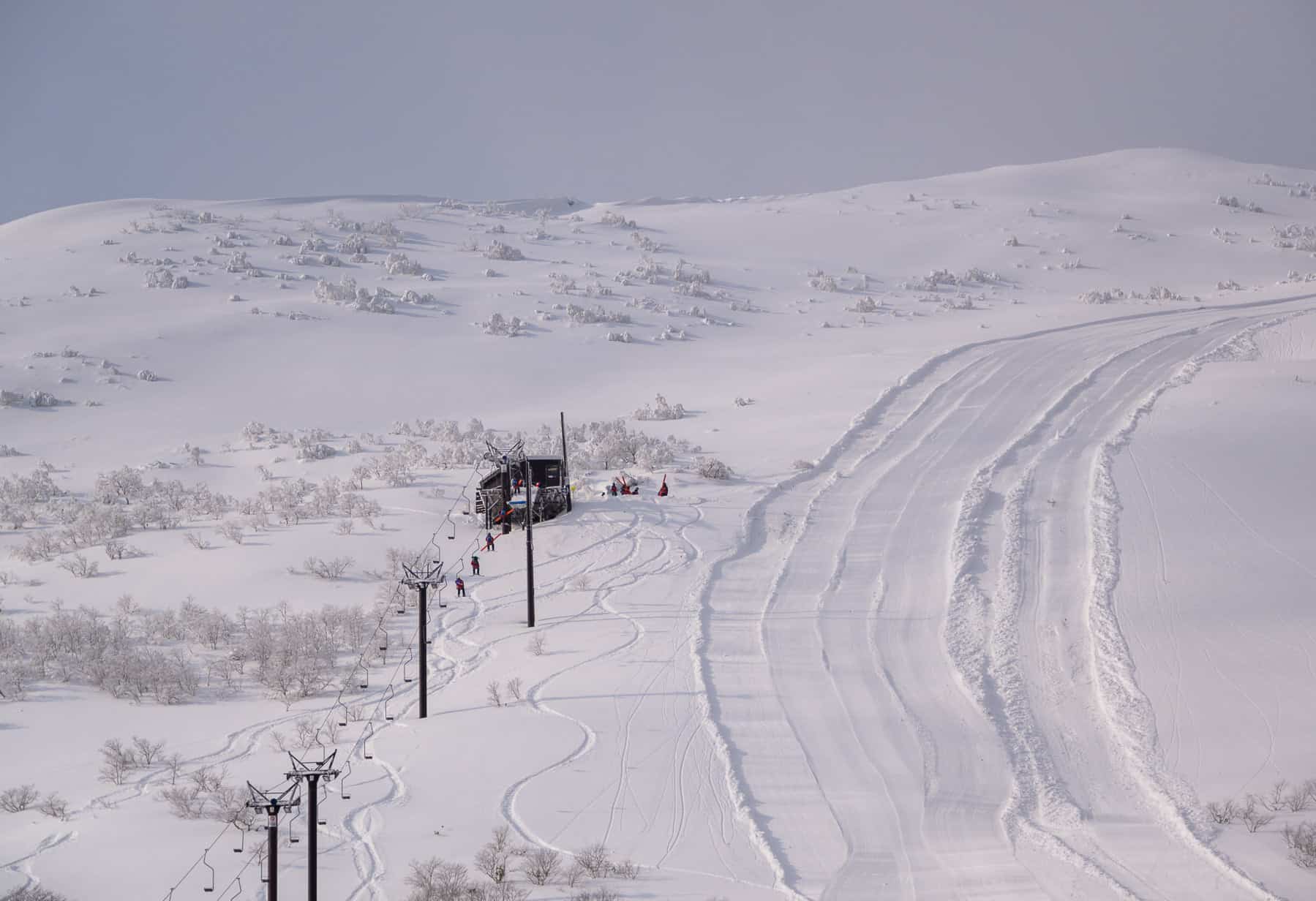
That should change for the better over the next week with more terrain opening just in time as they head into the busy January period. There were also snowfalls in Hokkaido this week with both Niseko and Furano seeing a few top ups, each receiving around 25cms since Tuesday. There is also more snow on the way for resorts in Hokkaido, but the snow totals are not as impressive as they are for Honshu, Niseko in line for 15cms while Central Hokkaido is looking for good for 30-35cms over the next seven days.
USA
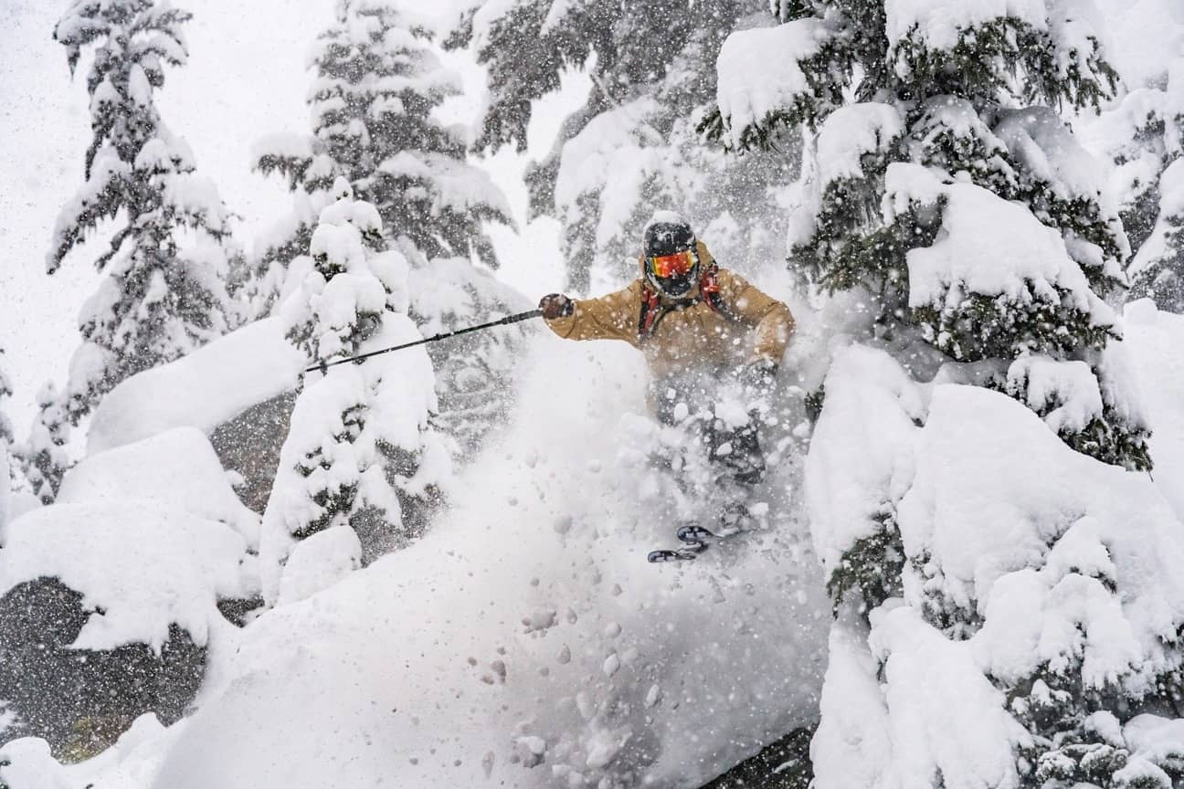
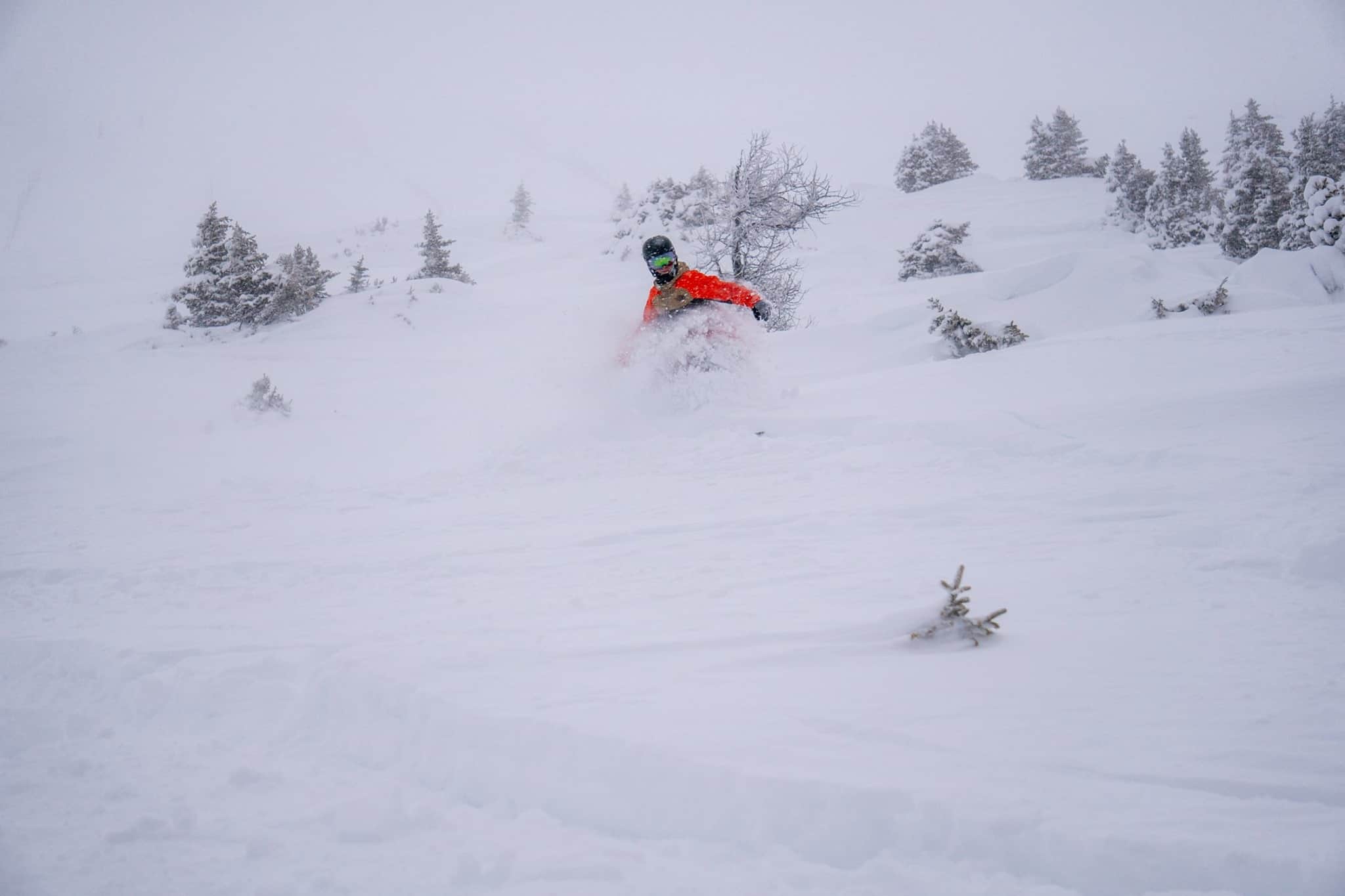
Yet more snowfalls across the US this week, with resorts in the Sierras receiving 25cms early in the week while further east, resorts in Utah saw 15-35cms and the Tetons had 15cms. It was also a good week in Colorado with the resorts in the southern Rockies receiving a nice Christmas Eve top up of 25-30cms. The snow showers continued for a couple of days with Wolf Creek topping the snow totals with a very healthy 70cms by Thursday morning while further north Aspen received only 15cms, but by all reports it has been a good week in most resorts.
The big news in the US today is the resorts in Southern California where the mountains outside LA saw a massive dump, Mount Baldy hammered by 90cms of snow in the past 24 hours while Big Bear was reporting 30cms overnight and it was still dumping this morning. The Pacific Northwest saw similar totals last weekend the upper slopes in the Cascades last weekend, Mt Baker registering a metre of snow while Crystal mountain had 80cms, although warm temps saw rain at lower altitudes. The forecast for the USA is pointing to further snowfalls for the Pacific northwest and the northern Rockies, favouring resorts in Montana, Idaho and Wyoming.
CANADA
As forecast, resorts in British Columbia received good snowfalls last week and last Saturday, December 21, Revelstoke had a seven-day total of 120cms, bringing its December total to a whopping 4.3 metres. Whistler hasn’t received anywhere near that amount of snow, but at least it has started snowing and they have had 35cms in the past seven days. After some clear weather mid-week, it is snowing lightly in Whistler today, but heavy falls are expected with 30-35cms forecast over the next seven days.
Further inland it turned out to be a snowy week in Alberta, Lake Louise reporting 82cms in the past seven days with last weekend the pick for a powder turns after 70cms in 48 hours. Since then it has been clear and cold and there is not much in the forecast with a mainly fine a weekend ahead of some scattered snow showers during the week.
EUROPE
There were heavy snowfalls across much of the Alps last week, but conditions eased mid-week with many resorts enjoying a blue-sky powder day on Christmas Day. The biggest snowfalls were last weekend with reports of 40-60cms in Switzerland and Europe while in France both Tignes and Les Arcs received over a metre in the 72 hours from Friday through to Monday.
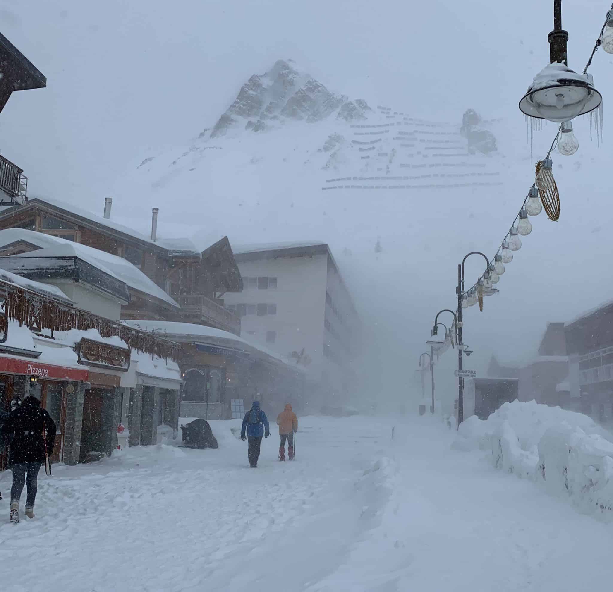
The snow was accompanied by strong winds in the western Alps and avalanche danger was also high. There were also falls of 20-40cs in Italy, where the forecast is for fine weather into early next week. It will be a different story in France, Austria and Switzerland with another front due tonight with moderate falls into the weekend.
WHERE WE WOULD LIKE TO BE THIS WEEK
Hakuba. After a poor start to the winter the forecast is pointing to be a big turn-around with 40cms expected in the village by tomorrow morning and another 40+cms next week. The upper mountain has already had 40cms in the past 24 hours so it is only going to get better. Time for some powder turns and Ramen.