World Snow Wrap, December 16 – Deep Powder days in the US and Canada, Storm Window Open in Japan, More Resorts Opening inEurop
Mountainwatch | Reggae Elliss
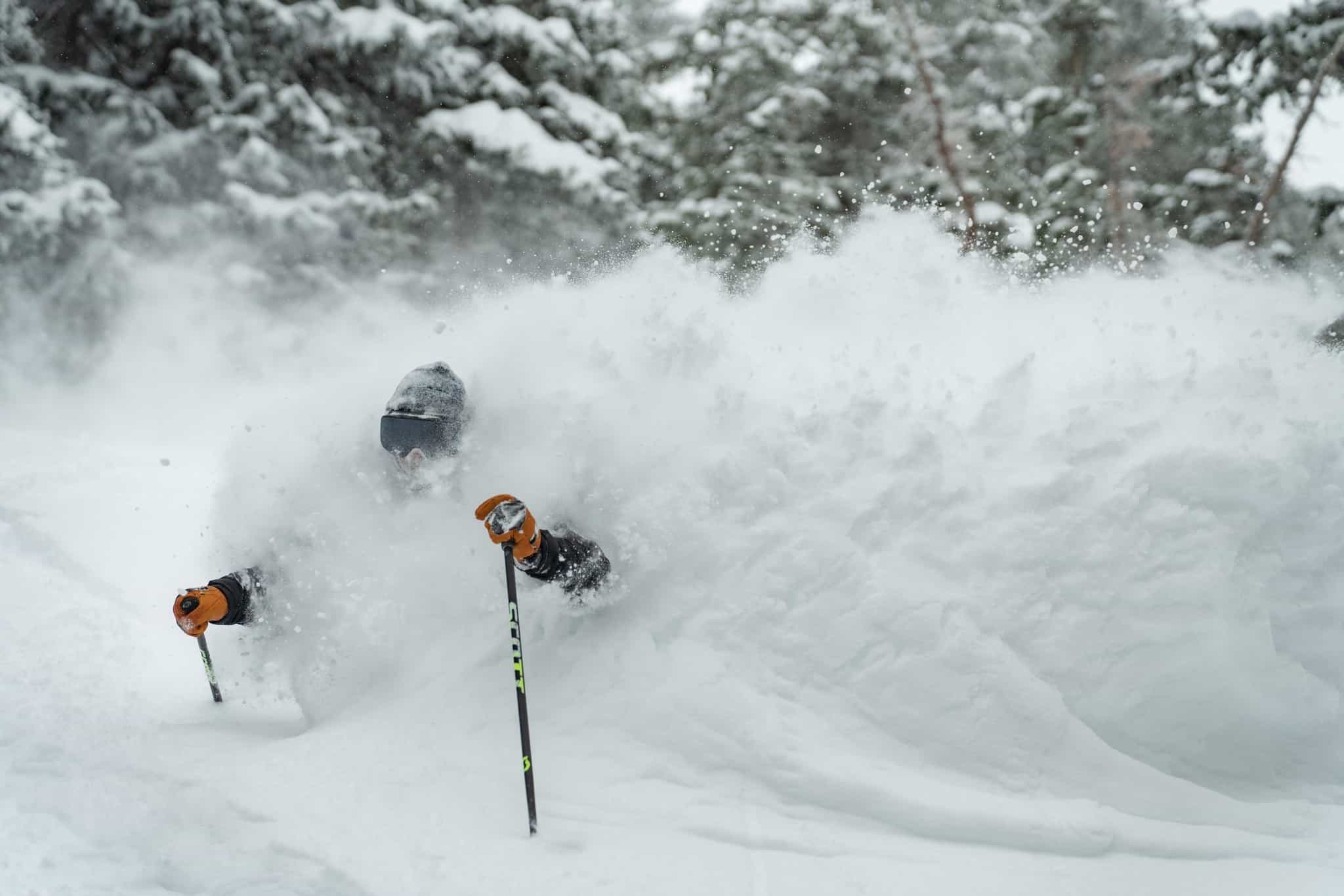
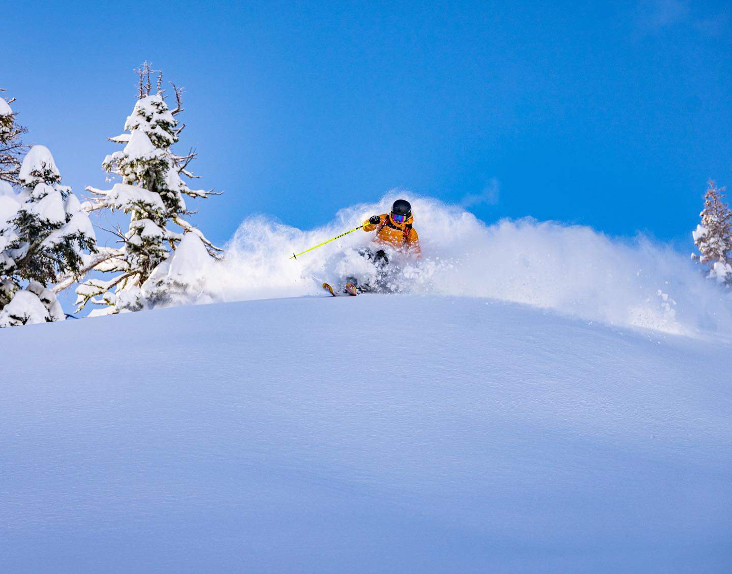
Mid-December and things are looking better each week in Northern Hemisphere resorts. Europe saw good snow last week and it has been snowing consistently in Japan, but most of the action has been in North America with deep, deep powder days during the past two weeks. Read on for the details.
USA
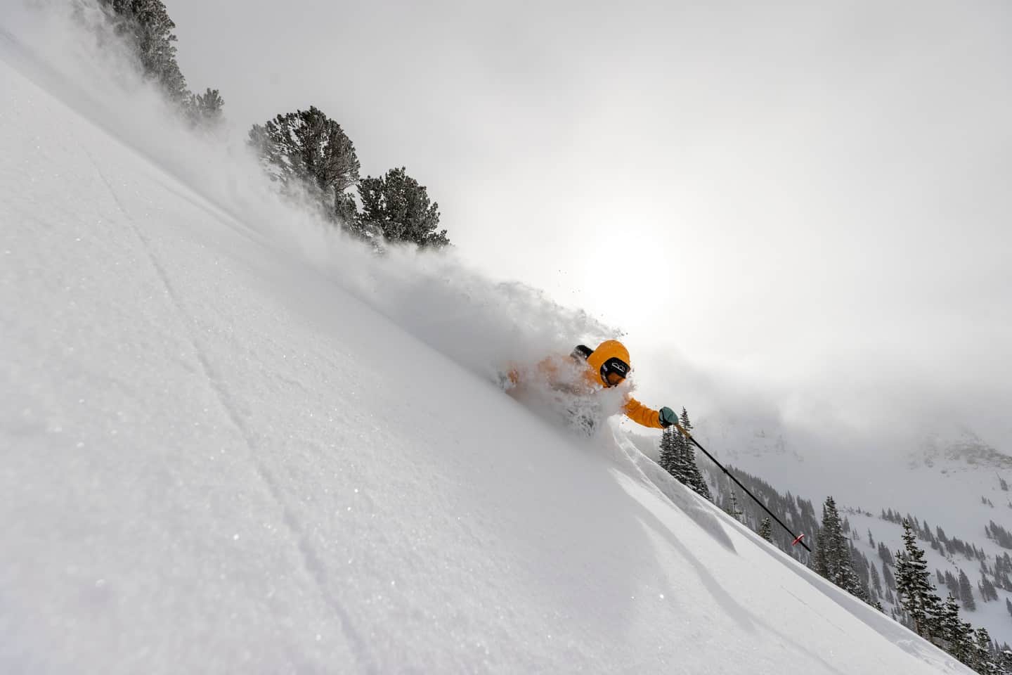
We may as well start with the region that has been enjoying the best snow over the past two weeks and it is fair to say it has been going off in the US – the Cascades, Sierras and Rockies enjoying a heap of snow and incredible early season powder. The December snow totals being reported are impressive: in California’s Sierra range the Tahoe resorts have received just over two metres of snow so far this month and Mammoth has had a similar amount, much of that coming out of last weekend’s mega-storm when Palisdaes Tahoe received 91cms in 24 hours and Mammoth received 106cms.
That storm tracked east, dropping big totals across the Rockies earlier in the week, Alta reporting 144cms in the past five days, Jackson Hole a 10-day total of 73cms and Aspen Highlands has had 35cms this week. The temps have been cold and the result has been some insanely good powder days and the vision and photos coming out of the US resorts are definitely “wish I was there” material.
The forecast is for some snow on the weekend for the Pacific Northwest and the northern Rockies in Idaho and Montana while the Sierras and central Rockies will be mainly fine. A stronger storm is due out of the North Pacific on Tuesday, snowfalls again favouring the Cascade Range in the Pacific Northwest and the Northern Rockies.
Canada
There has also been plenty of snow across resorts in British Columbia since our last World Snow Wrap, two strong systems dropping widespread snow across BC resorts late last week. The first storm resulted in 18-40cms from Wednesday through to Friday while the second storm last weekend favoured the Coast Range, Whistler receiving another 36cms for a five-day total of 76cms. Further inland Revelstoke received 32cms, Fernie 37cms and Red Mountain 28cms.
The past few days have been quieter with a few snow showers ahead of another storm on the weekend, the heaviest falls expected in south BC. It is also going to be pretty cold, the forecast for a max of -23 in Whistler Backcomb on Sunday while Kicking Horse has a max of -27 next Wednesday
Resorts in Alberta didn’t miss out, courtesy of a lingering 5-day system last week which saw Lake Louise and the Banff resorts receive 25cms while Castle Mountain had 58cms. The past few days have been mainly fine thanks to a dominate high pressure system, but a cold front will bring a little 5-10cms top up this weekend. The big issue is a mass of arctic air is set to deliver freezing conditions mid-week, Lake Louise and the Banff resorts set for max temps of -30!!!Break out the hand-warmers!
Japan
After a typically slow early December things have changed across the mountains in both Hokkaido and Honshu with the renowned Japan powder tap turning on. The good news is the Grasshopper reckons it is set to continue, writing yesterday that “the sleeping giant wakes”.
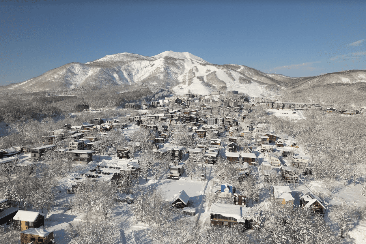
The past week has seen consistent falls in Hokkaido with Niseko receiving 56cms although there was a day of rain on Tuesday. As expected that was short lived with colder temps and snow over the past three days although it has been windy. Snowfalls are set to continue next week.
It has been a snowy week in Furano with another 21cms in the past 24 hours taking the 7-day total to 83cms. At this stage the Kitanomine Zone is still closed but there is 30cms in the forecast and hopefully more lifts and terrain will open soon.
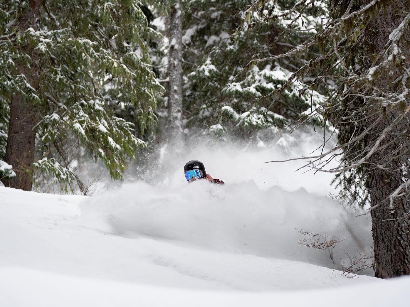
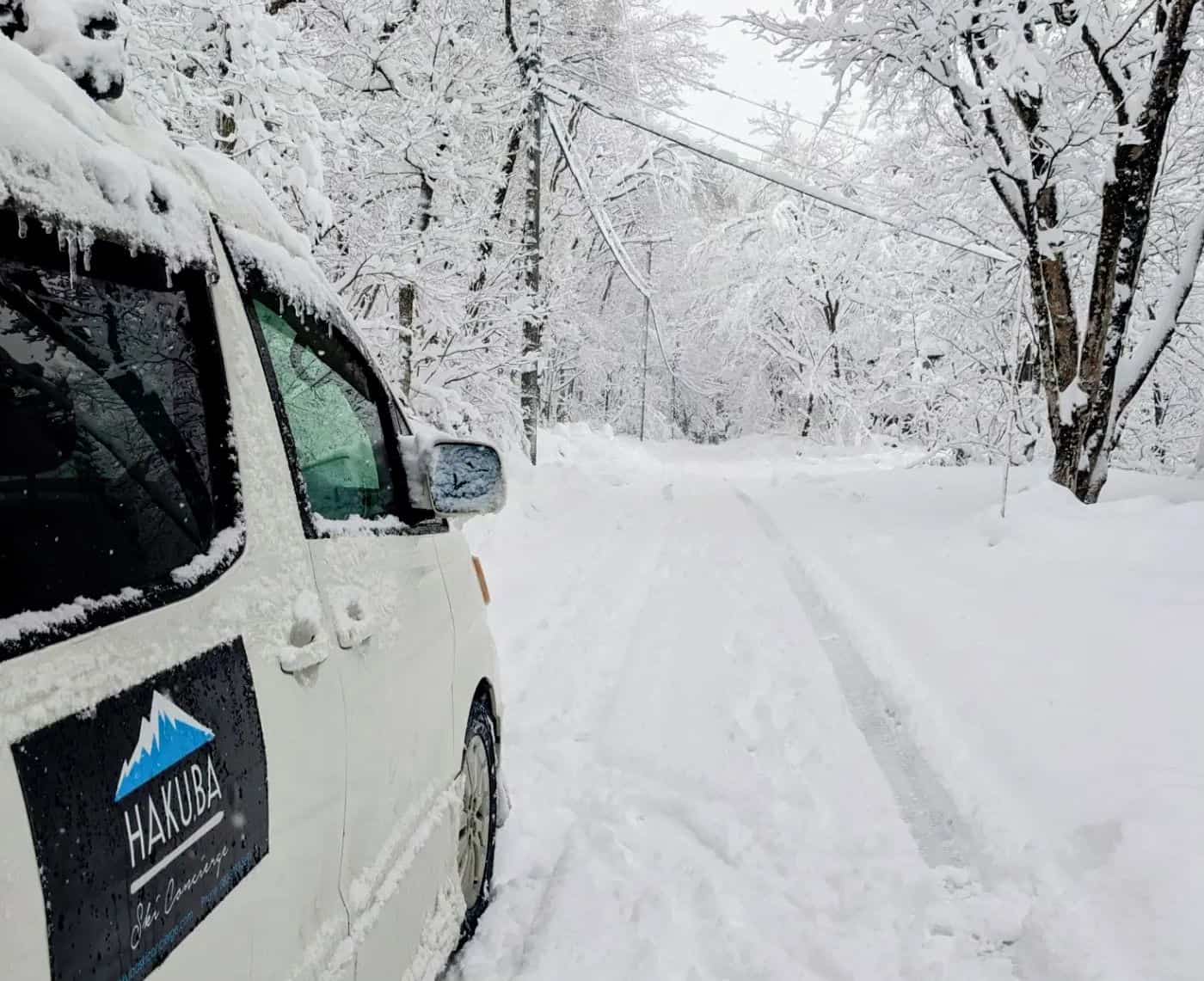
Further south on Honshu it has been dumping this week in Hakuba Valley with over 50cms of snow at base level and most of the resorts are now open with more lifts and terrain opening each day. Conditions are good, our Hakuba snow reporter writing this morning that, “Great powder conditions up on the upper slopes and packed powder on the lower sections”. Awesome. More snow is on the way the latest forecast calling for another 80-cms in the next week.
Unfortunately, other resorts have missed out, Nozawa reporting just a few cms over the past week and has just a couple of lifts open. It is a similar story in Myoko with just a few cms of snow this week and Lotte Arai is the only resort open with just two lifts spinning. Shiga Kogen is faring a bit better and has received 35cms in the past week and has a few beginner lifts open. The good news is widespread snowfalls are forecast next week across Honshu, with 30-40cms in the forecast.
Europe
After limited snowfall during the first week of December, things have picked up across the European Alps with widespread snowfalls across the western alps dropping 30+cms last Friday into Saturday. Resorts in France did well with Meribel and Val d’Isere receiving 40cms. The snow was accompanied by much colder temps and snow falling at lower elevations which has seen more terrain open. The Italian alps also saw 20cms last weekend while the Dolomite received 10cms.
It has been a slow start across the Alps but many more resorts have opened after last week’s snow, good news as we head into the busy Christmas period. There has been more snow over the past 24 hours with 10+cms with remaining showers expected to clear by Saturday afternoon. Next week will see a run of fine weather before another round of snow developing on Thursday.
Where We’d Like to Be This Week
Hard one to choose this week, but Hakuba is looking good with over 50cms in the past few days and another 80cms on the way and minimal early season crowds.


