World Snow Wrap December 29th, 2024 – Best December in Years for Japan, Massive pre-Christmas Storm in Europe, Powder in North America
Mountainwatch | Reggae Elliss
There has been plenty happening in the northern hemisphere over the past two weeks and it looks like 2024 is going to close out nicely. The snow tap won’t turn off in Japan while British Columbia is enjoying great run of good snow, the Pacific Northwest has received massive totals while the Central Rockies are swinging into action after a relatively slow December.
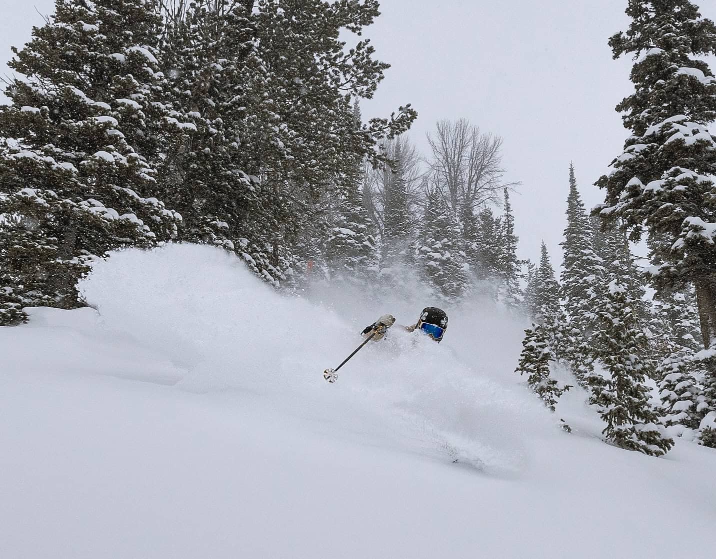
Japan
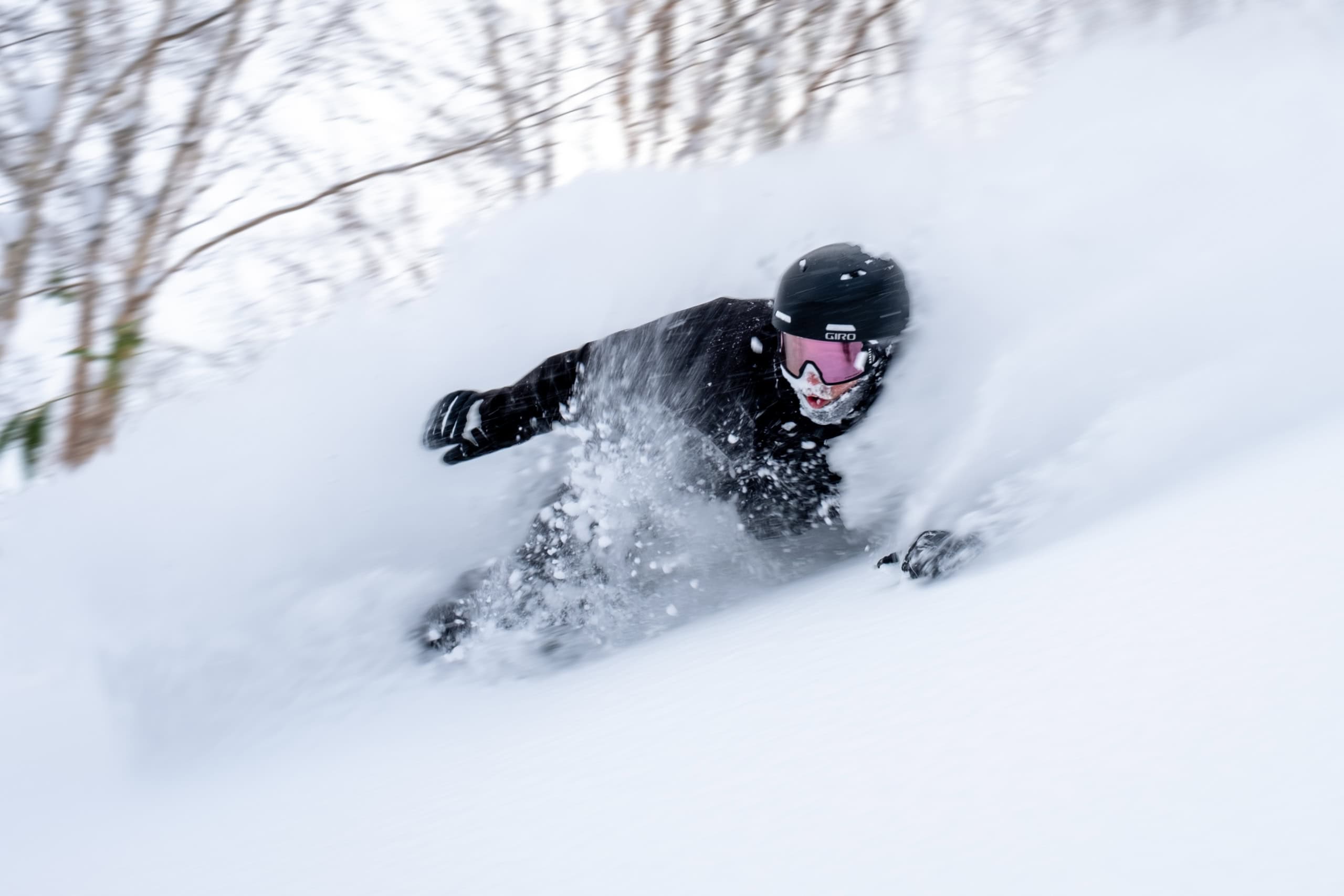
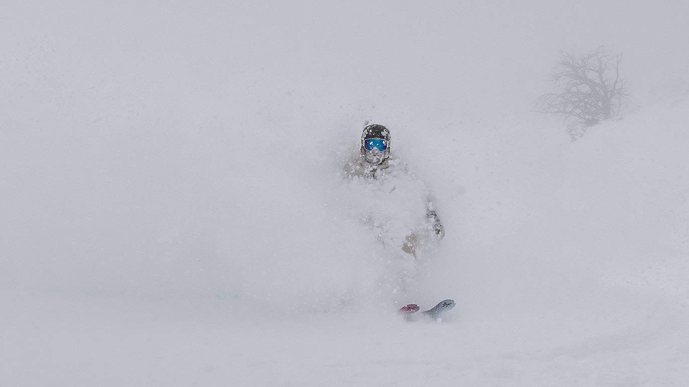
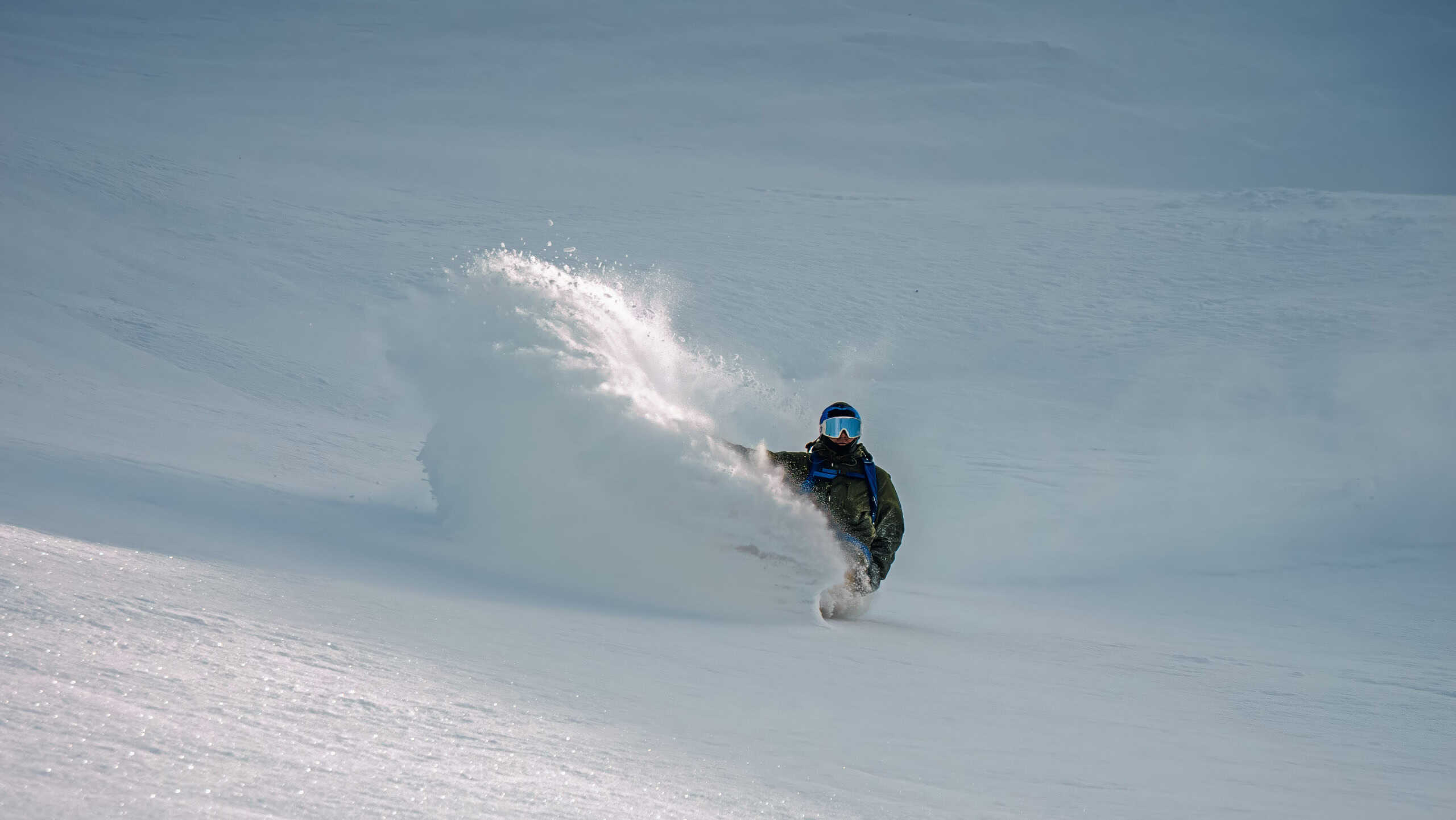
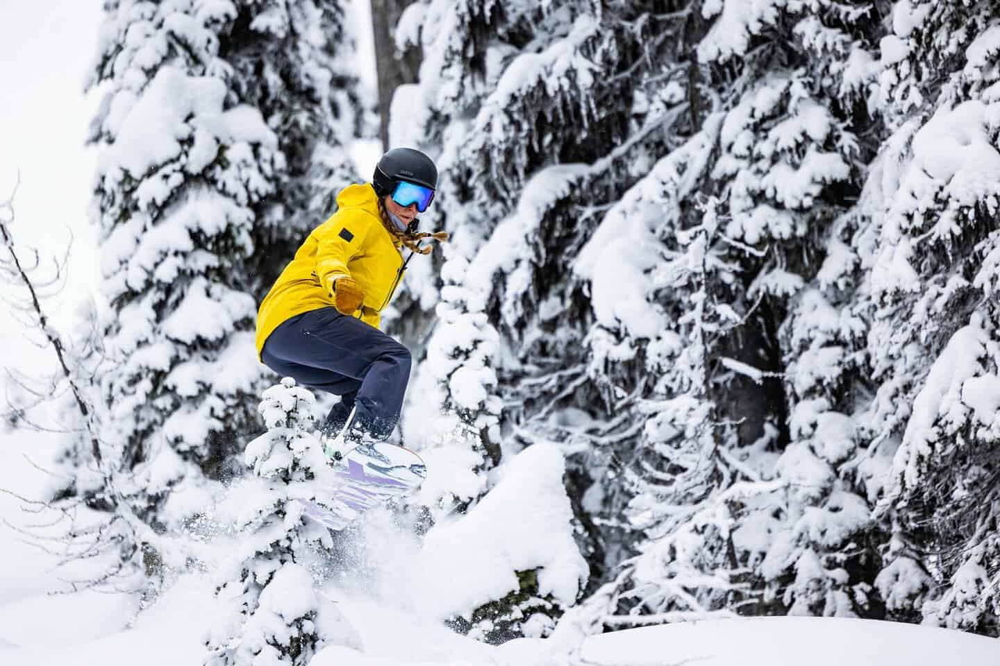
All I can say is it has been going off in Japan over the past few weeks and the lack of pre-season snowfall in November is just a distant memory. It has been snowing consistently for the past three weeks across the mountains in both Hokkaido and Honshu with some big powder days interspersed with the occasional blue bird day.
Niseko and nearby resorts in Hokkaido have had the snowiest December in 19 years with a monthly total of 298cms and it just keeps coming and Niseko has had 82cms in the past week. The snow has been lighter in central Hokkaido with Furano picking up 24cms over the past seven days for a monthly total of 150cms.
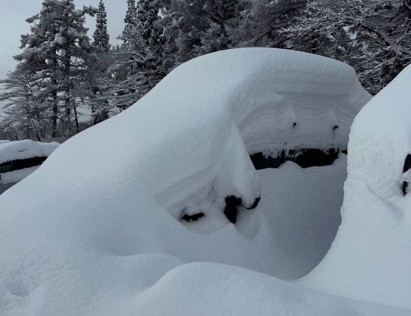
On the main island the snow has really been cranking across Central Honshu with some big totals and back-to-back powder days and it has been a stellar couple of weeks. Hakuba has received a metre in the past week, taking the December total to 266cms, while Myoko has a massive December total of 4.84m metres with 227cms in the past week, including another 45cms overnight. Check out Joey Stanco Myokos daily snow report for the details.
Nozawa Onsen also had good snowfalls with 88cms in the past three days for a December total of 277cms and according to our Nozawa snow reporter it has been amazing. The story is the same in another locations with Yuzawa resorts having an average December total of 339cms.
The forecast is for more snow over the next week with Central Honshu again lining up for some big totals with 81cms for Hakuba, 75cms for Myoko and 70cms for Nozawa. That storm may be warmer with fluctuating snow levels, the Grasshopper writing that in this week’s forecast that, “A low-pressure system shooting over the Sea of Japan will spread snow down Honshu early Tuesday, with another round of moderate-heavy snowfall. However, it’ll initially fall as rain at low elevations until colder air arrives at night.”
Hokkaido will also enjoy consistent snowfalls and very cold temps over the next week, but snow totals are expected to be lower, with Niseko due for 20-25cms and 15cms for Furano.
USA
It has been a mixed bag for resorts in the western US over the past two weeks with some big totals for resorts in California, Washington and Oregon thanks to solid storms moving in from the Pacific and dumping on the Cascades and the Sierras. Mt Baker had 50cms in the third week of December and has had another 120cms in the past 5 days! The Tahoe resorts scored big totals over a 4-day period Dec 13-17th, Palisades Tahoe reporting125cms during that time and it’s had another 25cms since Christmas day although the latest storm was a mix of rain and snow.
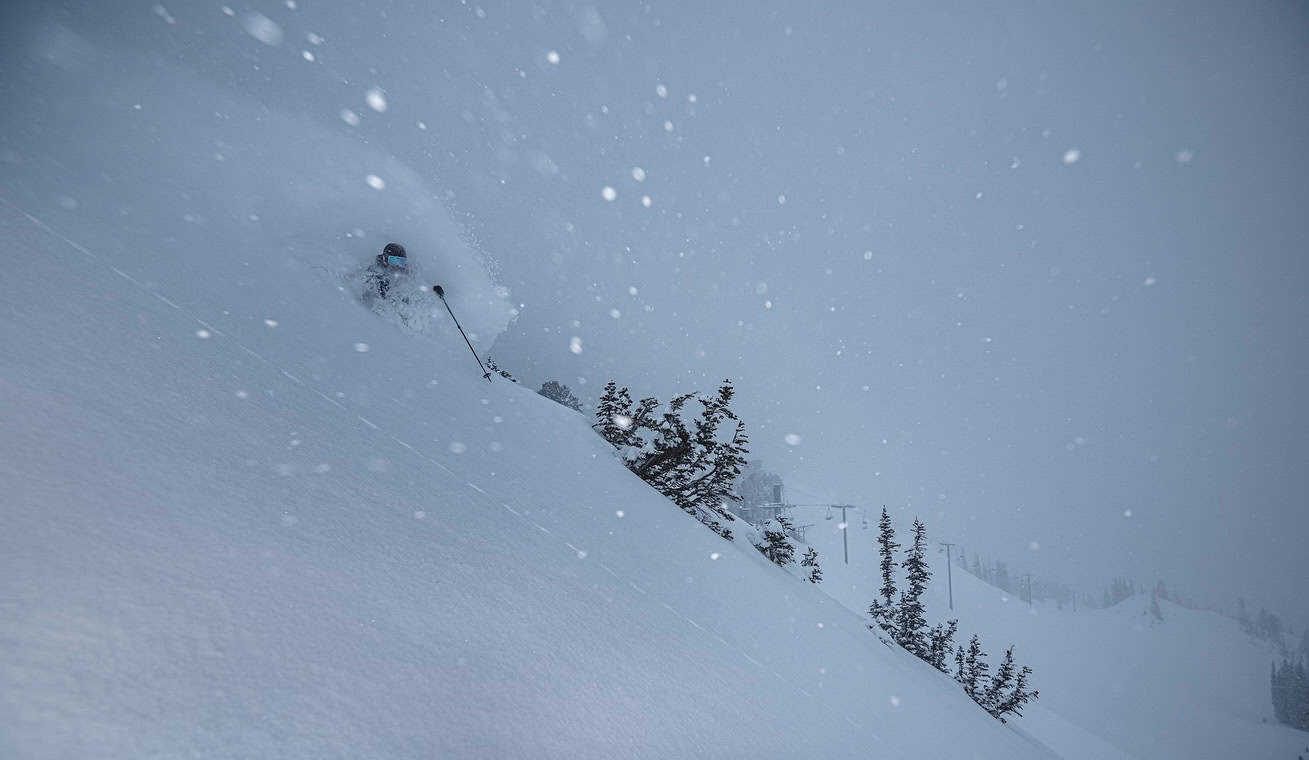
After a quiet period since the middle weekend of December for the Central Rockies, things have improved over the past week with Colorado, Utah and Wyoming entering a snowy period. In Utah, Alta and Snowbird have enjoyed some very good powder days with 60cms since Christmas, including a big 40cms in the past 24 hours. Jackson Hole has had 45cms and a couple of excellent powder days over the past two days while in Colorado, Aspen is reporting 22cms since Thursday and Vail has had 30cms. After a slow December, the recent snow is more than welcome as many resorts in the Rockies are operating on a very below average snow pack for late December.
The forecast is looking pretty with a couple of storms due for Colorado over the next few days, Steamboat in line for 50cms, Copper Mountain 30cms and Aspen 15-20cms. It will be a similar story in Utah with widespread snowfalls and 25-30cms over the next five days. However, Jackson Hole and Grand Targhee should see heavier falls and big snow totals of 60-70cms although warmer temps will see denser snow over the next 24 hours followed by colder temps and good powder.
The Pacific Northwest will continue to experience heavy snowfalls with a current storm set to drop 25-50cms over the next five days, most of that falling in the next 36 hours. Further south in the Sierras it will be a mix of rain and snow for the Tahoe resorts before things cool down with 30cms likely ahead of a mainly fine week. That storm is a little to north for Mammoth, which will see a few cms ahead of a sunny week.
Canada
It has been a good couple of weeks for British Columbia resorts with consistent snowfall and a few very good powder days. A big storm dropped 105cms over a five-day period from December 14-18 for Whistler Blackcomb and the Coast Mountains and after a small break there’s been another 90cms since December 23rd. As expected, holiday crowds have been huge but have spread out on the mountain once the morning lift lines move out of the base areas. Light snow showers should continue for the next few days ahead of another storm on New Year’s Day with potential for good falls on Jan 3-4th.
While interior BC resorts haven’t seen the totals experienced further west, consistent snowfalls and sub-zero temps have maintained a quality snow packs and there has been a few good powder days. Revelstoke has received 150cms over the past two weeks with 45cms falling since Xmas Eve. It is also a good time to be in Fernie with 38cms falling since Christmas day and some good pow turns on offer. Interior BC will see snow showers continue over the next week with daily refreshes of 10-15cms for Revelstoke while Big White will see 20cms and daily top ups of around 5cms during the first week of the New Year.
Unfortunately resorts in Alberta isn’t receive anywhere near the same mid-December totals as in BC, Lake Louise and the Banff resorts receiving 12ins and some fresh turns in the week leading into Christmas but just a few centimetres since. However, the snow is in great shape, cold temps maintaining dry and chalky snow off piste while the groomers have been perfect. There’s not much in the forecast with a few snow flurries and max temps around minus 9 ahead of 10cms next weekend.
Europe
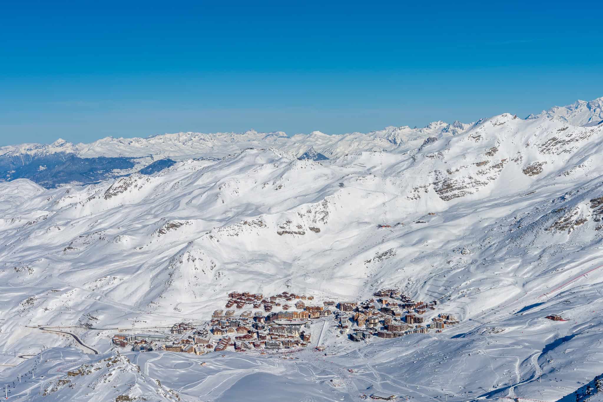
It has been a big week for many regions of the Alps, with intense heavy snowfalls at times, after a strong, cold multi-day storm hit on December 22nd. It was the biggest storm of the season so far and set things up nicely for the busy holiday period, but it came with strong winds, poor visibility and dangerous avalanche conditions. Snow totals were impressive, Engelberg in Switzerland receiving 97cms over a three-day period and in France the Trois Vallees were reporting 150cms by Christmas Eve.
Austria’s Arlberg region also did well, St Anton picking up 45cms while Fieberbruun had 60cms. Italy also received good snowfalls in the lead up to Christmas with 7-day snow totals nudging 100cms.The Pyrenees also enjoyed widespread snowfalls with average daily snowfalls of 5-15cms, Baqueira Beret receiving 40cms and Andorra resorts are reporting 30cms over five days. High pressure and fine weather have dominated the weather across the Alps for the past three days and fine but cold weather is set to continue ahead of the next round of snow around January 3rd.
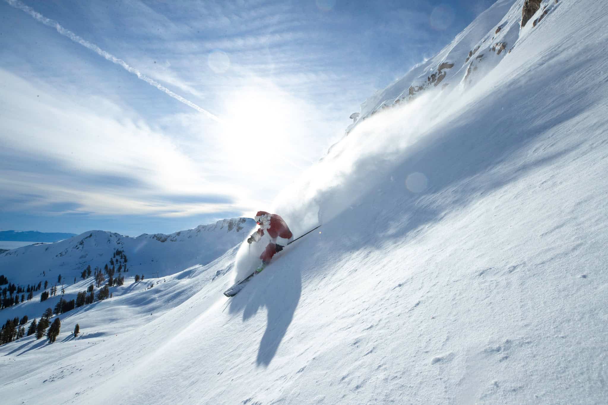
Where We’d Like to Be This Week
Japan. Sure it’s the busiest week of the year with the locals on holidays as well as plane loads of Australian families are on the way but there are more powder days ahead, a heap of terrain open and plenty of resorts to choose from.


