World Snow Wrap, December 15, 2024 – Powder days in Japan, Big Snowfalls in California and BC and More Snow on the Way for Europe
Mountainwatch | Reggae Elliss
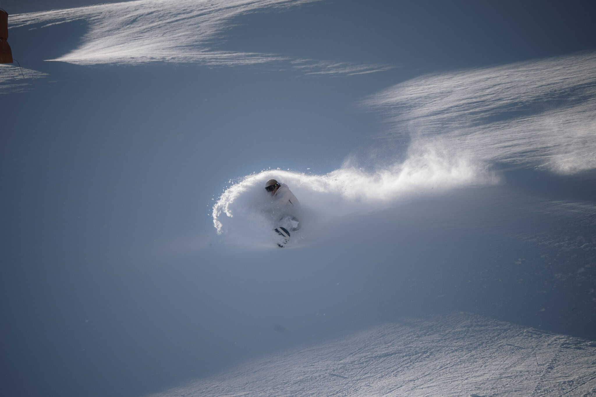
It has been an active couple of weeks in the northern hemisphere with Japan settling into a snowy pattern, regular storms in Canada, the US and Europe:
Japan
After a mainly dry November the first big storm of the season hit Japan last week, perfect timing as it coincided with the season opening for many resorts. Resorts in both Hokkaido and Honshu saw good snow totals, with Niseko receiving 65cms, Hakuba 50cms and Myoko 46cms.
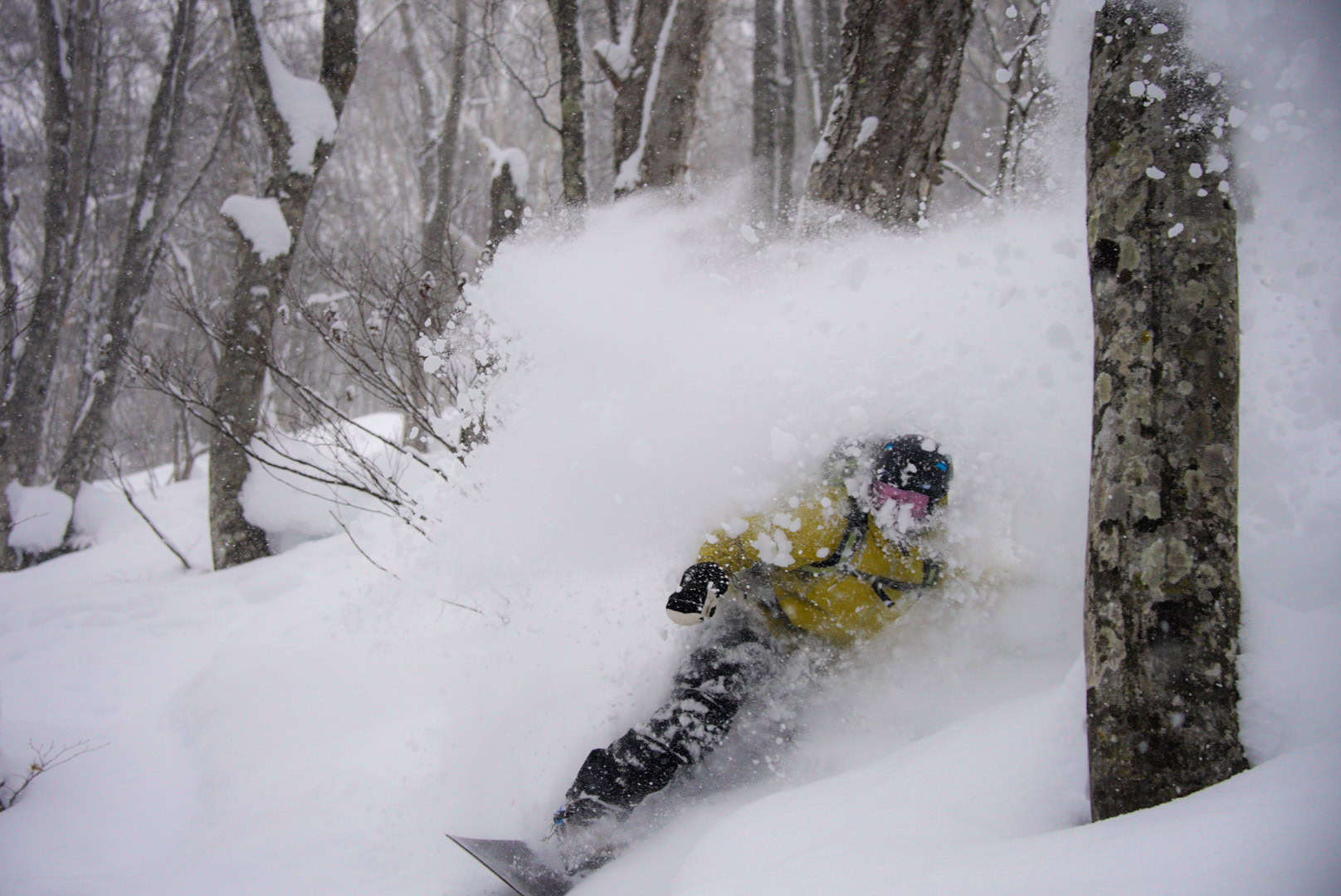
After a short break a second storm moved in out of the Sea of Japan on Thursday/Friday with heavy falls intensifying on Saturday morning. Cold temps saw snow settle at lower elevations, Hakuba having 25cms the base overnight Friday/Saturday. Myoko has seen some typically heavy snow falls with 69cms over the past three days after another 11cms last night, taking it’s seven-day total to 136cms. What a lead in to this weekend’s opening!
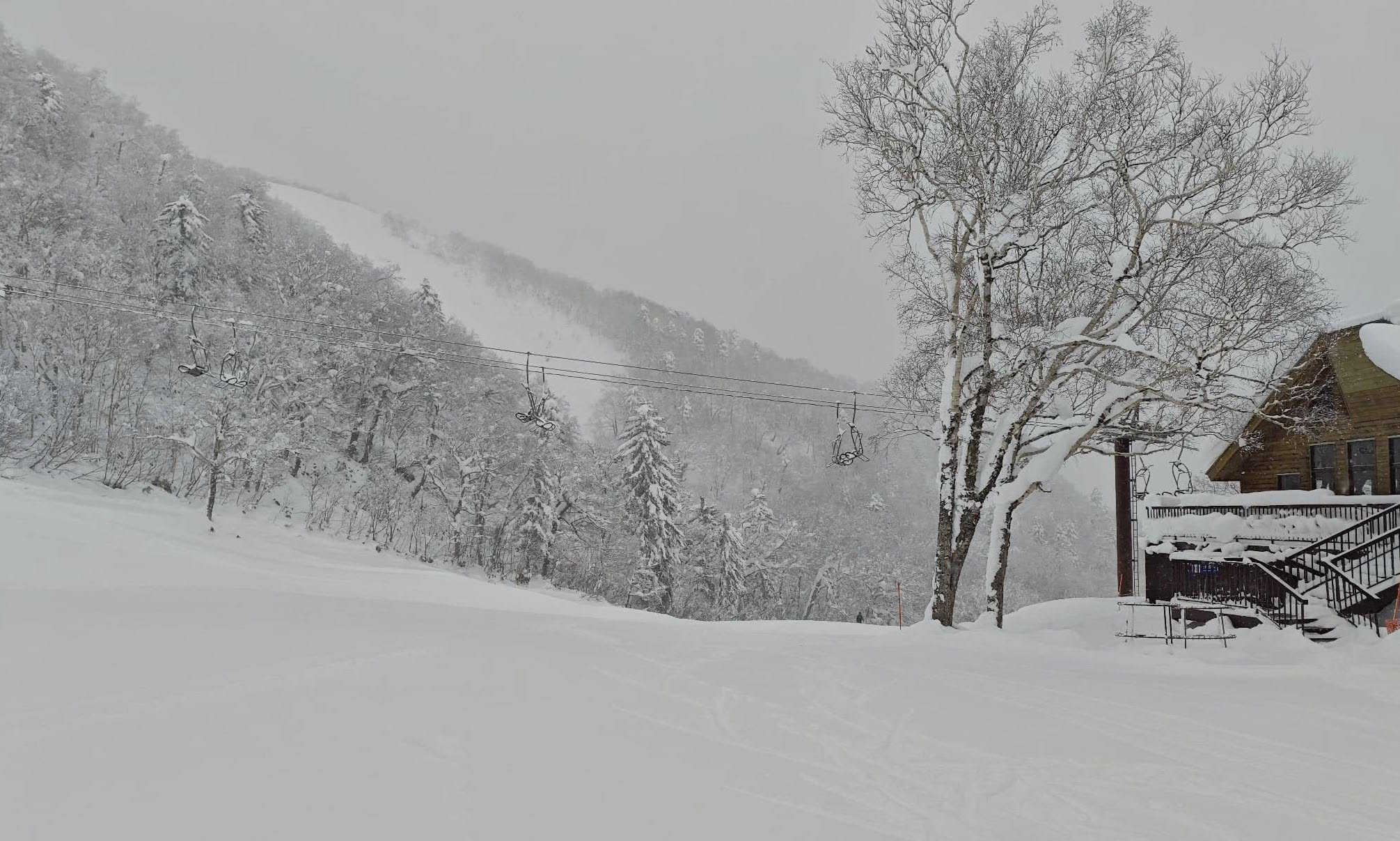
Up on Hokkaido it has been snowing off and on since Wednesday with Niseko receiving 65cms over the past week with yesterday a standout after another 30cms on Friday night. It was a little slower in Central Hokkaido with smaller totals, Furano picking up 35cms this weekend.
The forecast is for more snow tonight and tomorrow before it eases ahead of a stronger system late in the week, Hakuba in line for 54cms while the current forecast for Niseko is 40cms over the next week.
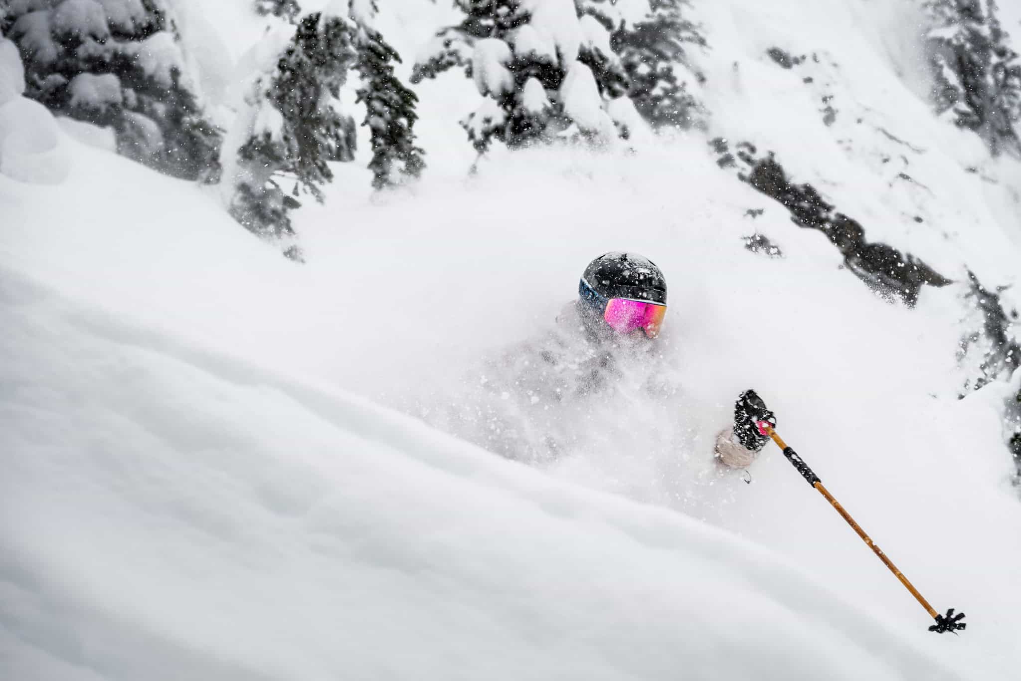
USA
After a week of dry weather there has been more activity over the past week, favouring the Sierras. Cascades and northern Rockies. Resorts in Utah picked up 15-30cms yesterday and a second storm should drop another 10cms for Alta and Snowbird over the next 24 hours. Jackson Hole and Grand Targhee are also looking good for snow this weekend with followed by another storm on Tuesday with potential for 50cms at higher elevations over the next five days.
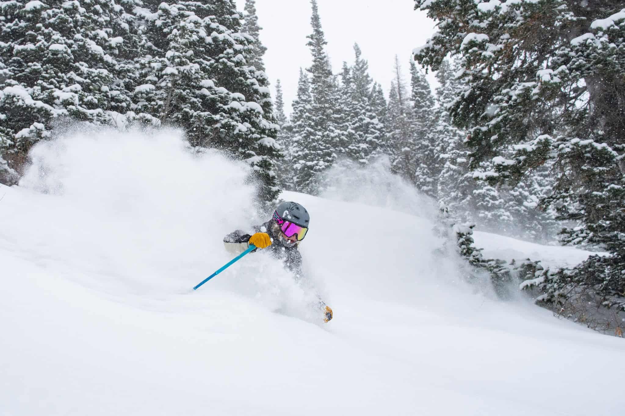
Once again, the biggest storms have been in the mountains closer to the Pacific with heavy snow falls and big snow totals in the Pacific Northwest with Mt Baker receiving 66cms over the past two days. It is a similar scenario in California’s Sierras where it has been dumping over the past two days, Palisades Tahoe reporting 66cms on the upper mountain while Mammoth has had 35cms at the base and 55cms at the top. There’s more snow expected overnight for the Tahoe resorts and Mammoth before fine weather tomorrow and for the rest of the week.
The Central Rockies haven’t seen the strong storms that California and the Pacific NW have copped although there was a small refresh in Colorado last Monday with Aspen receiving 22cms and Steamboat 12cms. That was followed by a dusting on Friday night, but it is looking fine in Colorado for the next week with no significant snow expected before Christmas.
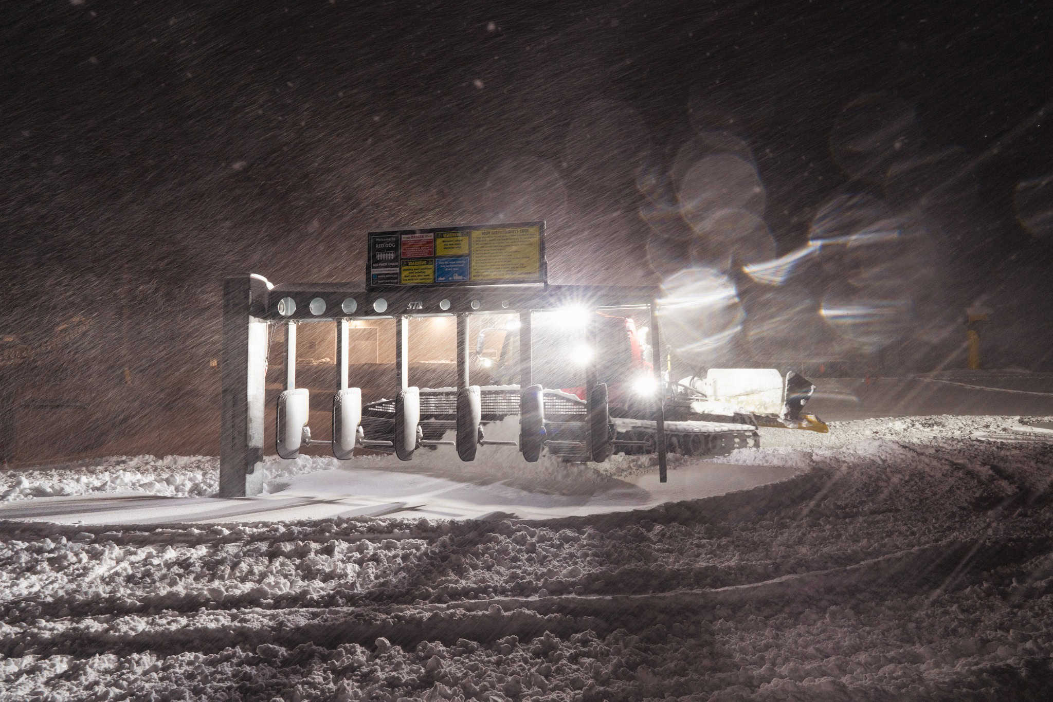
Canada
After two poor early seasons in a row, this year is shaping up much better with regular storms over the past six weeks setting up a good base at mid-mountain elevations and above. A weak storm dropped 10+cms last weekend at Whistler Blackcomb while Revelstoke ha a good fall of 35cms and opened more terrain mid-week. Kicking Horse also had 20cms last weekend and opened yesterday with some fun fresh turns to be had on the upper mountain.
Another storm is underway on the Coast Range, with Whistler picking up 13cms last night and more expected over the next 24 hours. Interior BC resorts have also picked up some snow with Red Mountain topping the count with 20cms last night and it was a fun powder day today. The current storm will be followed by two more storms this week which will deliver big totals up high in the Coast Range with potential for 140cms at higher elevation in Whistler over the next week. The storm on Tuesday/Wednesday will be warmer with rain falling at lower elevations and at the base. Interior BC resorts will also pick up snow this week with 25cms likely for Fernie while Revelstoke and Kicking Horse could see 40-50cms mid-week and Sun Peaks 35cms.
It has been a mostly dry December in Alberta although a quick storm dropped a needed 25cms in Lake Louise last weekend. It looks like a much snowier week ahead with a mid-week storm set to drop 30cms at lake Louise and the Banff resorts and with overnight temps down to -16 Thursday could be a good powder day.
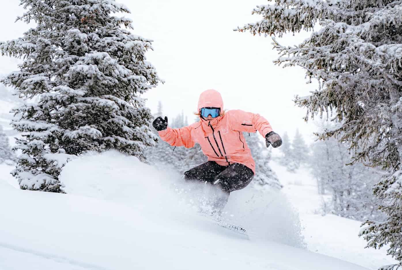
Europe
After a period of settled weather the past week has seen good snowfalls in the European Alps and also in the Pyrenees with 7-day totals around a metre at higher elevation in the northern and western Alps and similar totals in the Pyrenees. Strong winds did cause a few problems with lifts and there was some rain at times at lower elevations.
Most of the big resorts are now open for the season adding more lifts and terrain after last weekend’s storm. Clear skies and cold temps behind the storm have enhanced snowmaking conditions at lower elevations and setting up a good base ahead of the busy Christmas period. Mainly fine weather is set to continue over the next few days ahead snow later in the week, Verbier set for 40+cms, Val D ‘Isere 35cms and St Anton 25cms.
Where we’d like to be this week
Kicking Horse. One of interiors BC’s gems and the forecast is looking good for a couple of mid-week powder days.


