First Powder Days of the Season in Japan – Photo Spread.
Mountainwatch | News
In his weekly Japan forecast last Thursday the Grasshopper was talking about a big storm that was bearing down on Japan and about to deliver plenty of snow. He wasn’t wrong and it was the first real storm of season with widespread snow falls, cold temps and back-to-back powder days for open resorts on both Honshu and Hokkaido over the weekend.
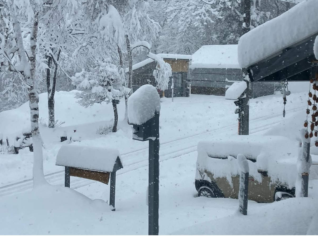
The snow started falling across Hokkaido on Thursday with consistent falls at Niseko and Rusutsu throughout the day. It was a little slower to hit Honshu with snow developing early Friday, falling pretty wet at lower elevations before temps dropped and snowfalls intensified overnight.
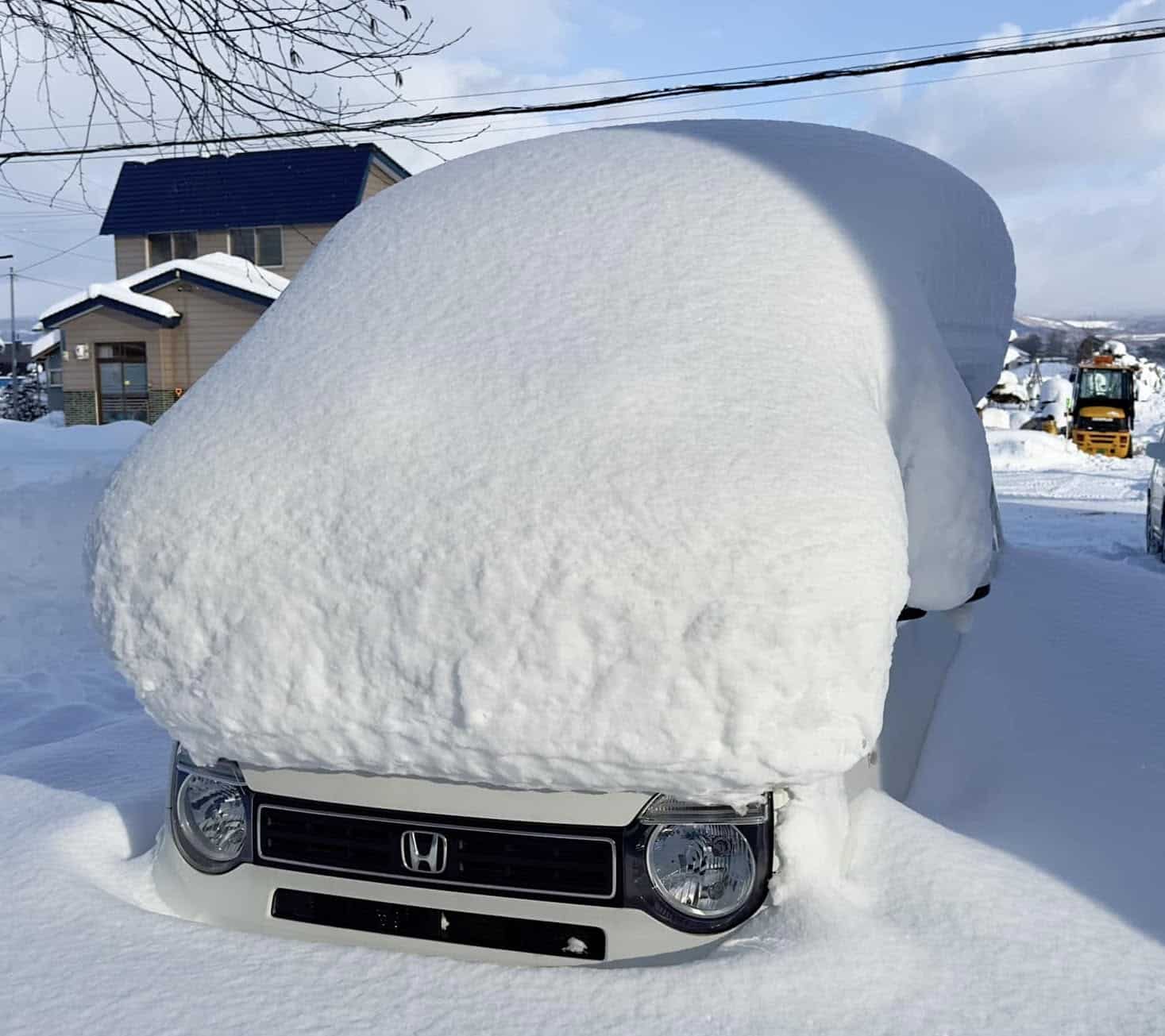
The three-day snow totals are solid: Niseko fared well with 65cms since Thursday while Hakuba received over 50cm across the weekend and Myoko, which is due to open next weekend, scored 46cms. The snow has eased off today but it won’t be long until the next round kicks in with snowfalls developing tomorrow and continuing off and on over the next few days before heavier falls on the weekend.
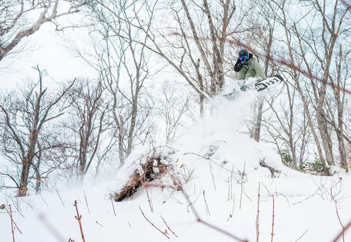
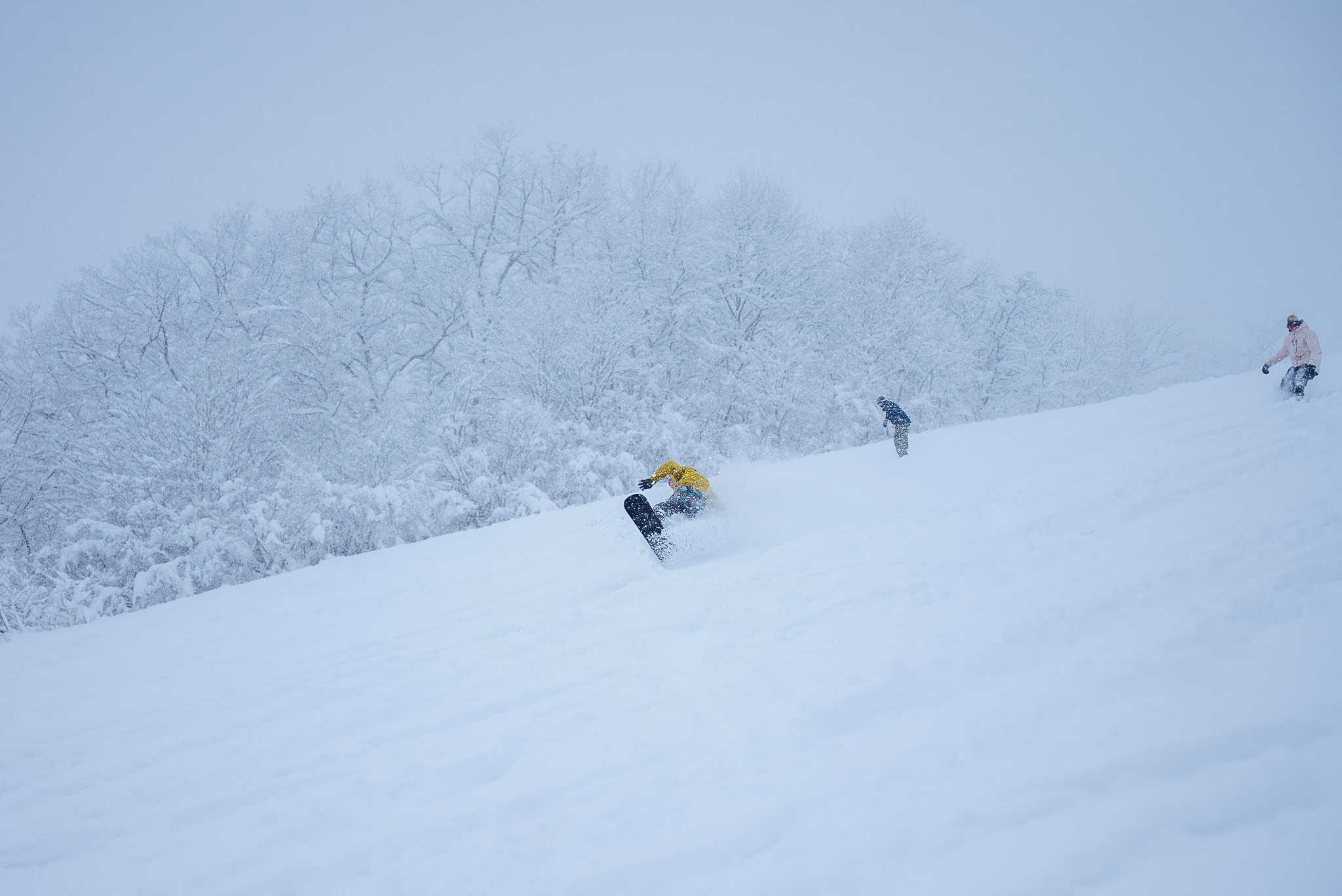
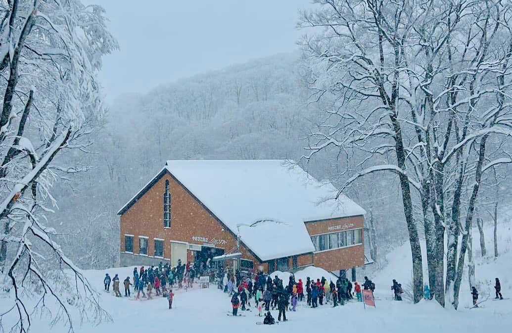
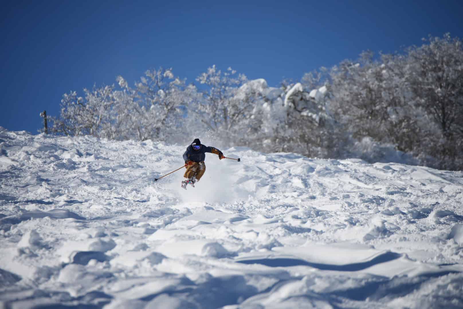
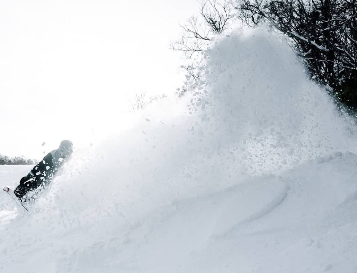
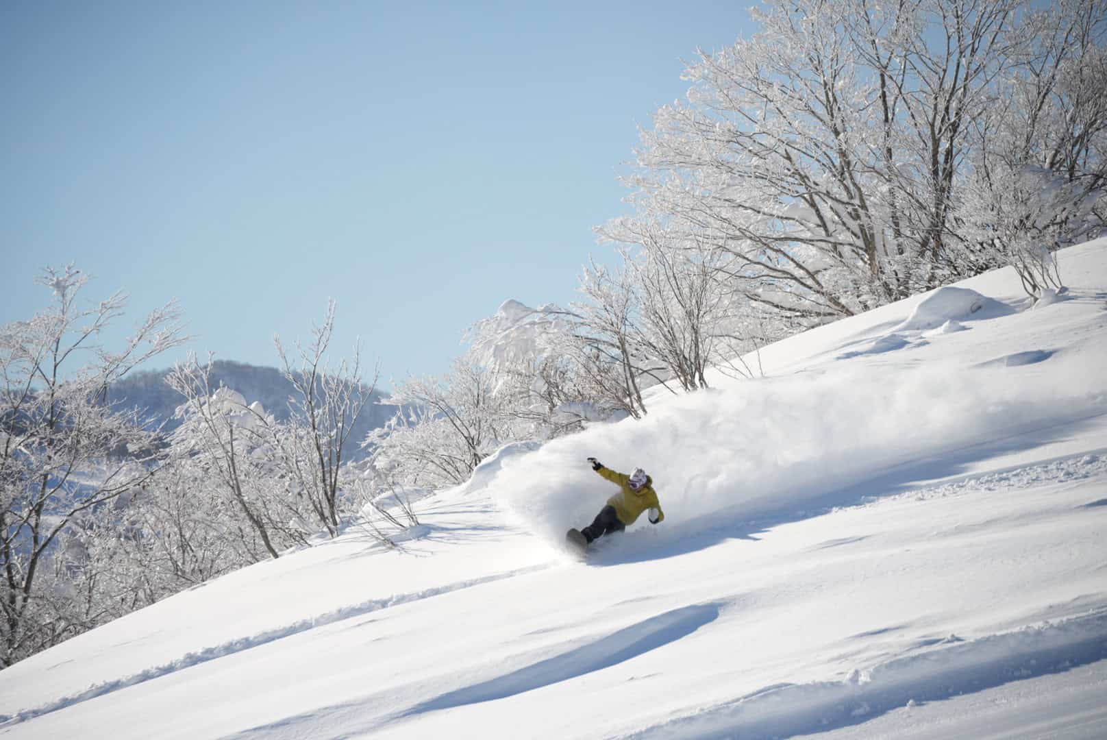
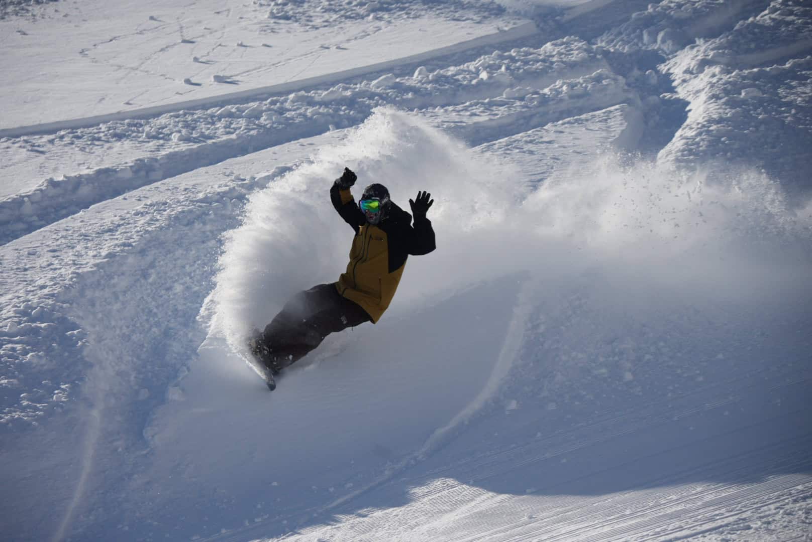
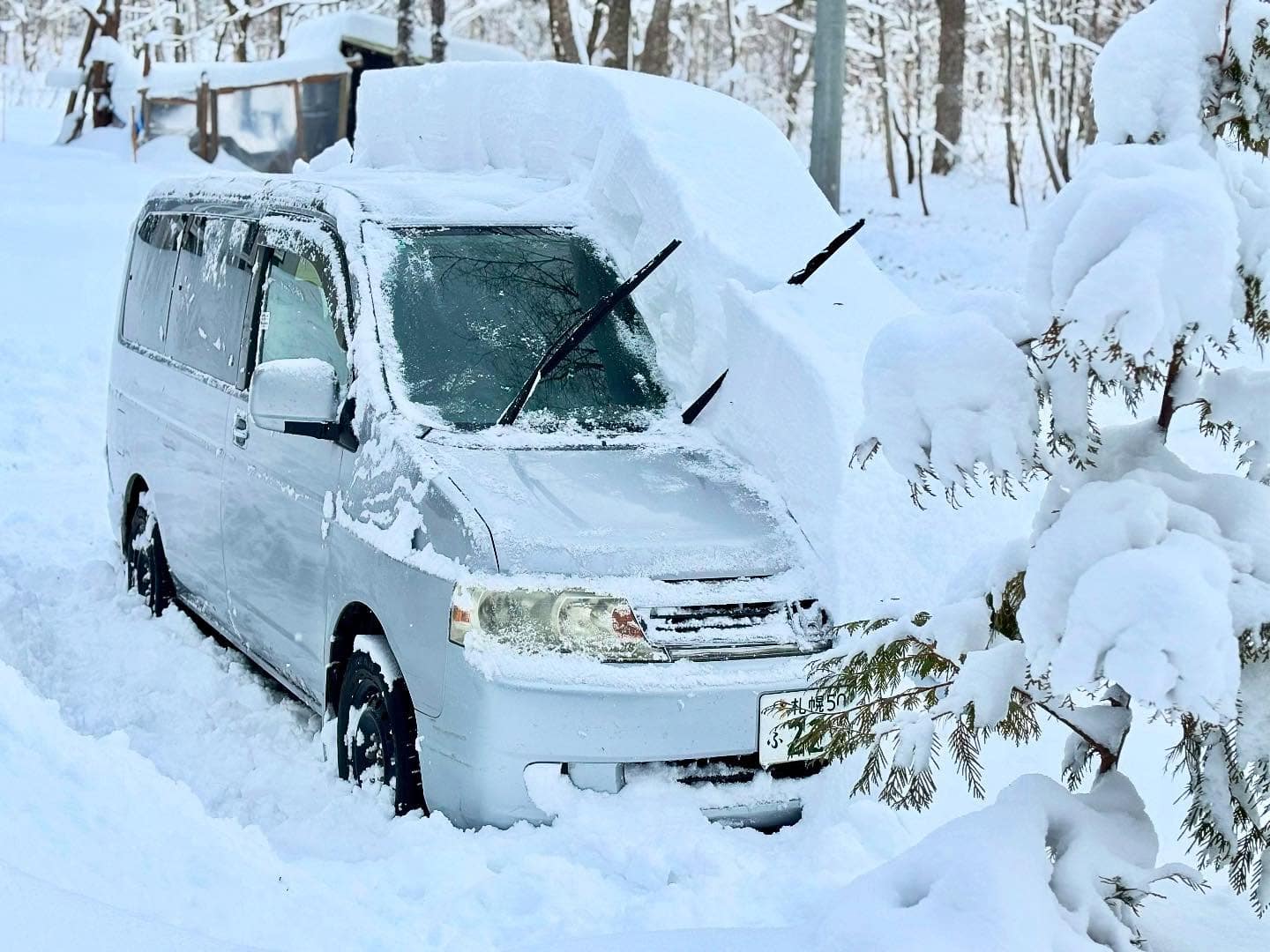
After a relatively dry November and the storms are well-timed with more resorts expected to open across Japan over the next two weeks. Enjoy the photos – a taste of what’s to come over the next few months.