Australian Forecast, June 19th – Clear & Crisp with a Dashing of Man-Made Snow, Then A little Natural Snow Thursday Night and Friday
Mountainwatch | The Grasshopper
Published early Wednesday 19th June 2024
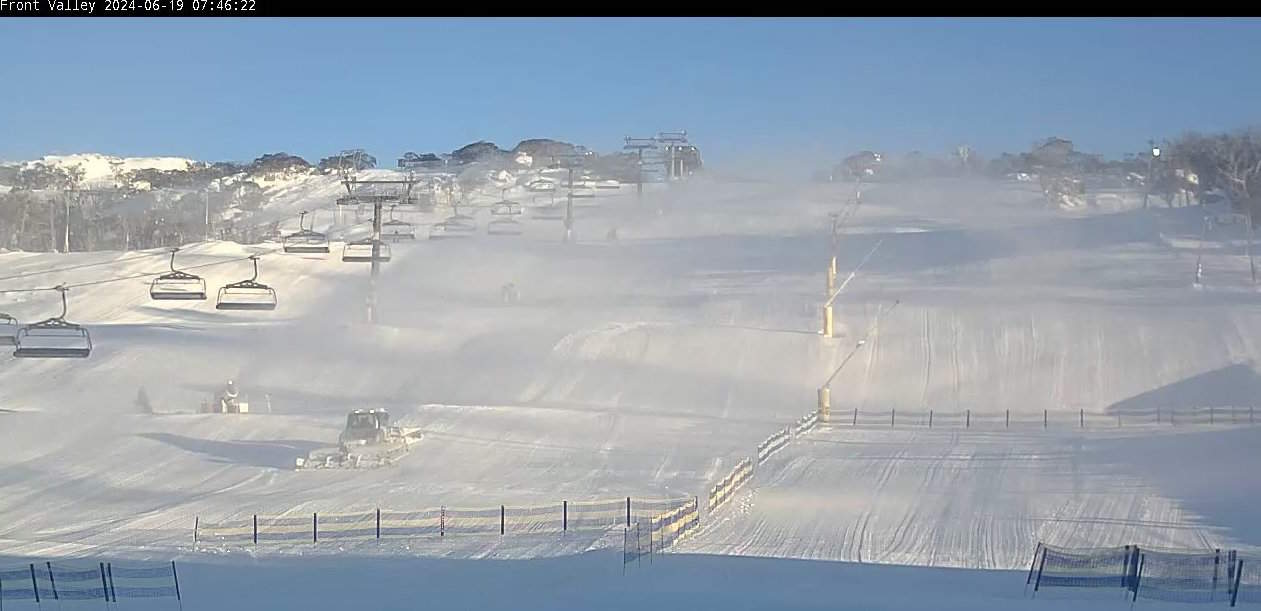
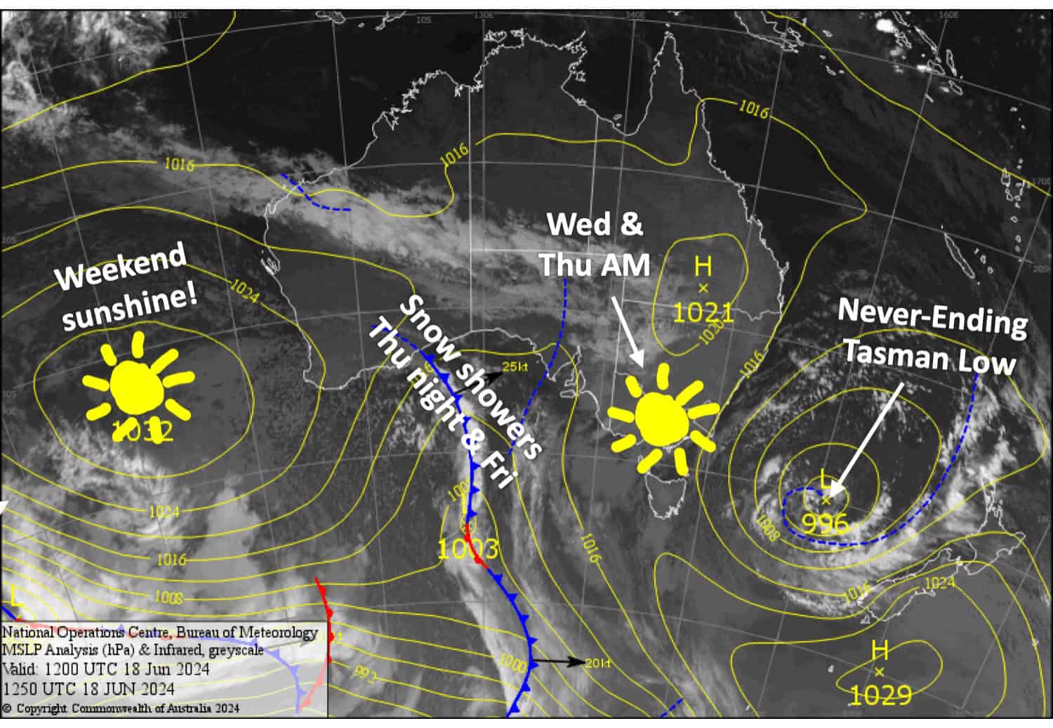
A couple of centimetres of freshies fell on Monday, and when cloud cleared late resorts had a good night making snow. Last night was no different, the guns still blazing as I write, while skies have remained clear and will continue to do so today through Thursday morning as a ridge of high-pressure drifts overhead.
A weak low-pressure system rolls over the top of us Thursday night, followed by southerlies on Friday, bringing snow showers throughout this time. There’s still a lot of uncertainty, even this close to the time, but we’ll likely see snow levels hover between 1300-1500m which will give resorts a dusting or small top-up overall.
Wednesday June 19th
A clear, crisp start to a nice and sunny day. The snow guns are blazing this morning and we should see them fire up again tonight. The light SW breeze will turn NW this afternoon.
Thursday June 20th
A fine morning, then cloud will start to build from afternoon before snow starts falling at night/overnight down to between 1300-1500m. Light NW breezes turning northerly.
Friday June 21st
Snow showers down to between 1300-1500m. Including predawn snowfalls, we should mostly see between 2-6cm accumulate, but up to 10cm is a possibility in some areas. Southerly winds develop in the morning and then pick up a little in the afternoon.
Saturday June 22nd
A chilly start for the snow guns to add to the fresh snowfall, and any cloud cover will clear early for a mint day. Southerly winds ease while turning SE.
Extended Forecast
High-pressure will keep a lid on things Sunday into Monday, before a low-pressure system from the west takes over the reins the following two to four days (Tuesday 25th to Friday 28th June). This unsettled period is likely to start out with strong N-NW winds and rain + high-level snow, then finish with cooler westerlies and snow showers to lower levels. At this stage, it doesn’t look like a humdinger, with perhaps light-moderate accumulations on the cards.
That’s all from me today folks. The next forecast is Friday, see you then.
Grasshopper


