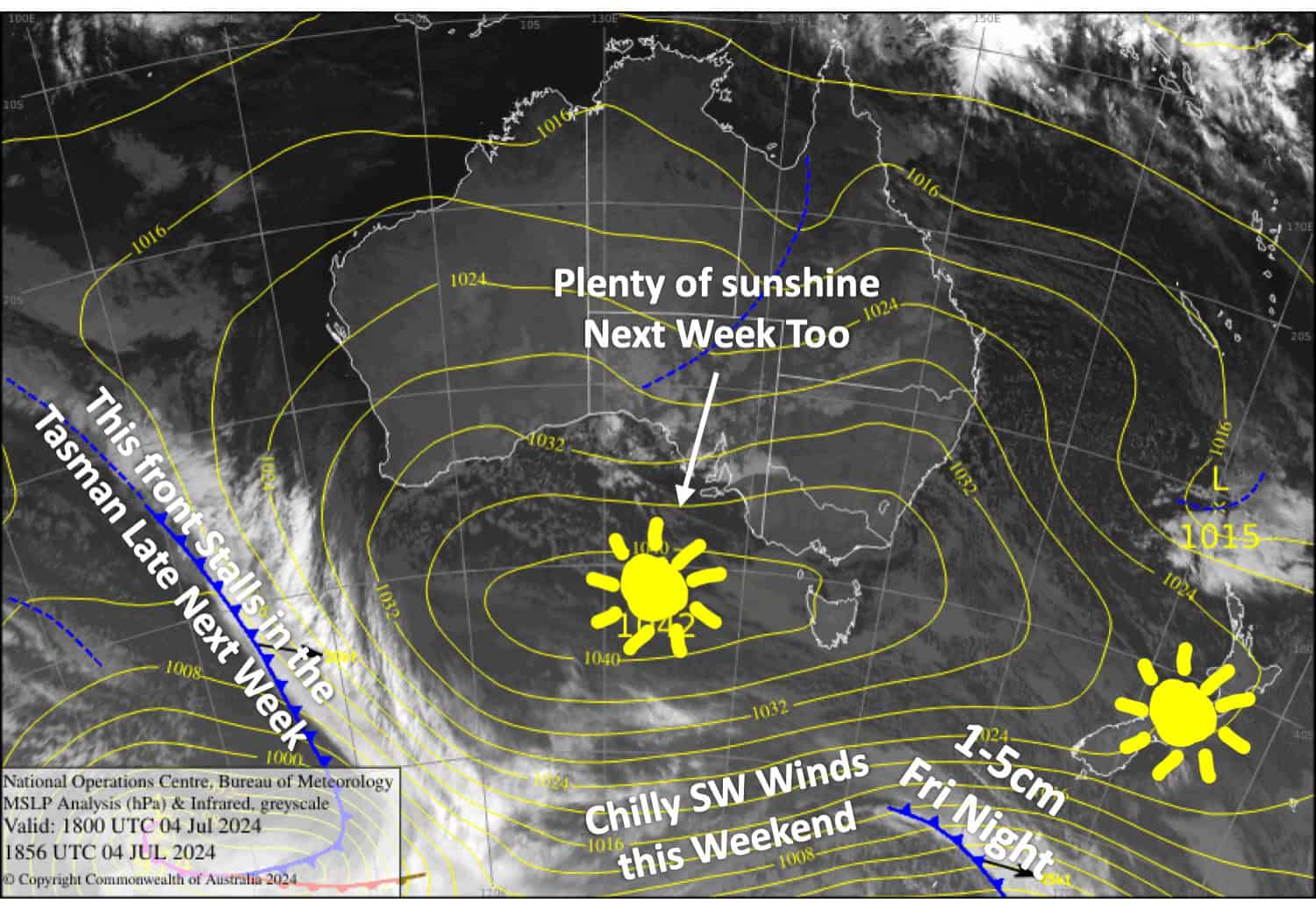
New Zealand Weekend Forecast, Friday, July 5th – Sunny Days Ahead and a Dusting Friday Night, But Chilly Southwesterlies this Weekend
Mountainwatch |The Grasshopper
Published early Friday July 5th 2024
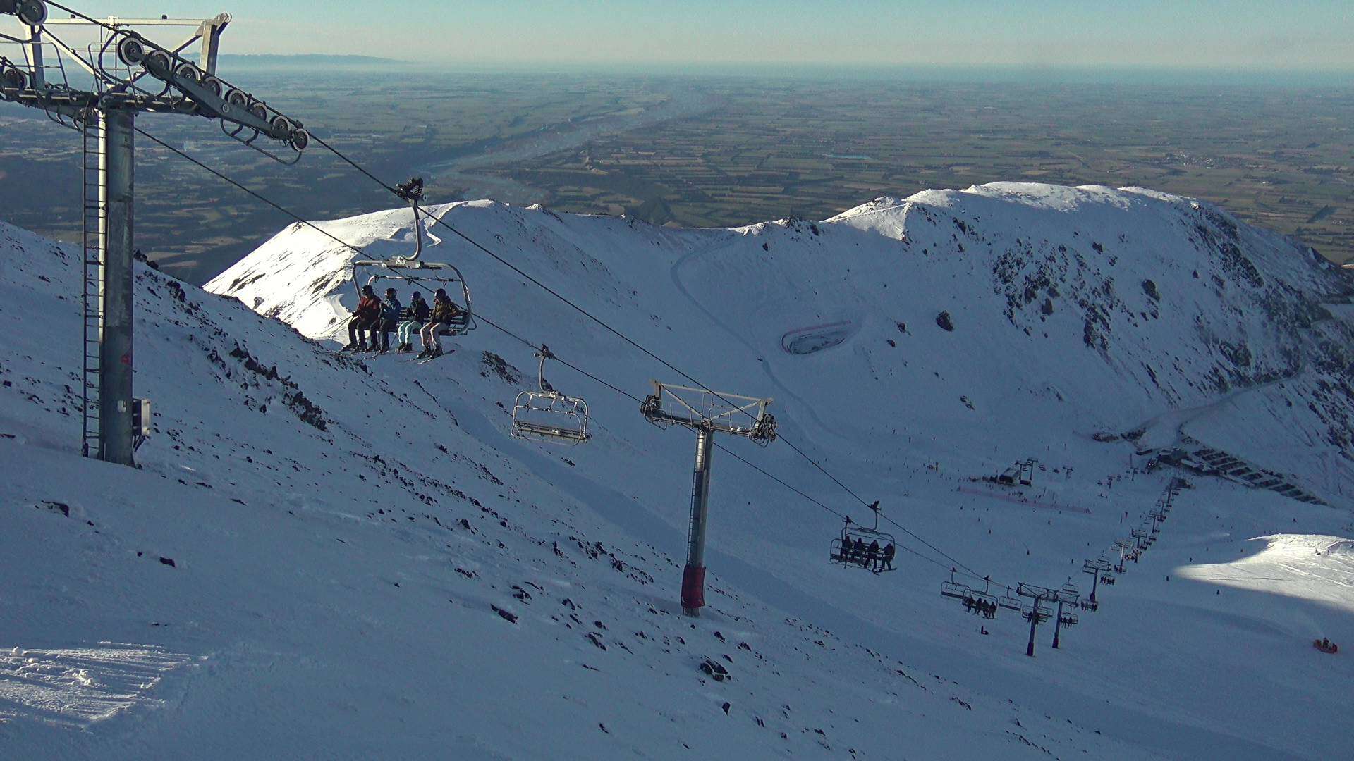
New Zealand resorts are looking much healthier after a big snowstorm came through on Monday and Tuesday. An impressive 40-60cm piled up on Southern Lakes resorts, while Mt Hutt, Porter’s Pass and the Mt Ruapehu resorts also scored 15cm. It’s amazing the difference one good dump can make. Temps have also been cold so the snowmakers have been busy making hay while the sun shines, so to speak. Porter’s Pass is opening today, Friday, by the way!
The timing of the storm couldn’t have been better as mid-year school holidays start on Saturday. And now the weather will play ball for the rest of this week and likely next week too with mostly fine weather in store. However, the kids will need to rug up warm this weekend because a weak front crosses the South Island Friday night, giving resorts a light dusting of up to 1-5cm, followed by cold southwest winds which will get quite strong on Sunday before abating on Monday.
Friday July 5th
A fine morning for the Southern Lakes, then cloud will start to build in the afternoon as westerly winds become strong up high. A weak front crosses the area at night, dropping about 1-5cm of powder to low levels.
An absolute cracker for Canterbury with clear skies and light westerly breezes. The weak front will reach the area overnight with up to 1-2cm of snow falling.
Saturday July 6th
Any remaining snow flurries on South Island resorts will clear early, but a little bit of cloud will linger into the afternoon. SW winds will be brisk about the Southern Lakes.
Sunday July 7th
SW winds over the South Island will be strong in exposed places making for significant wind chill. Canterbury will be clear and sunny and the Southern Lakes partly cloudy.
Monday July 8th
A fine day for all South Island resorts, apart from a bit of morning cloud about the Southern Lakes. SW winds will also be rather brisk to start with, but that’ll gradually ease.
Extended Forecast
A big juicy high moves onto the country on Tuesday July 9th and should keep a lid on things for the remainder of that week with mostly fine weather. There is a slight chance a weak front could bring a little snow to the South Island on Wednesday 10th and Thursday 11th, but that’s a big maybe at this stage. NW winds will likely kick in from about Friday the 12th of July, as a front approaches then stalls west of the country.
That’s all from me today folks. The next forecast is Monday, see you then and have a great weekend.
Grasshopper


