New Zealand Weekend Forecast , Friday July 12th– Good Bye Big High, Love You Long Time
Mountainwatch | The Grasshopper
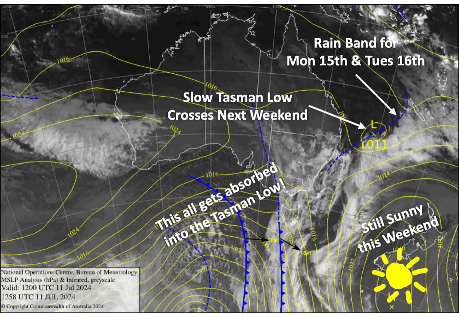
We kiss goodbye to the big, strong, handsome high that has brought us such lovely, fine weather this week. However, as it sails off into the Pacific, its influence will linger for several more days, keeping the weather mostly fine and settled over the South Island.
At the same time, a low spins up in the Tasman Sea and will send a weakening frontal rain band our way. The rain band crosses the North Island on Monday before reaching the top of the South Island Monday night, bringing rain and high-level snow to resorts along the way.
Friday July 12th
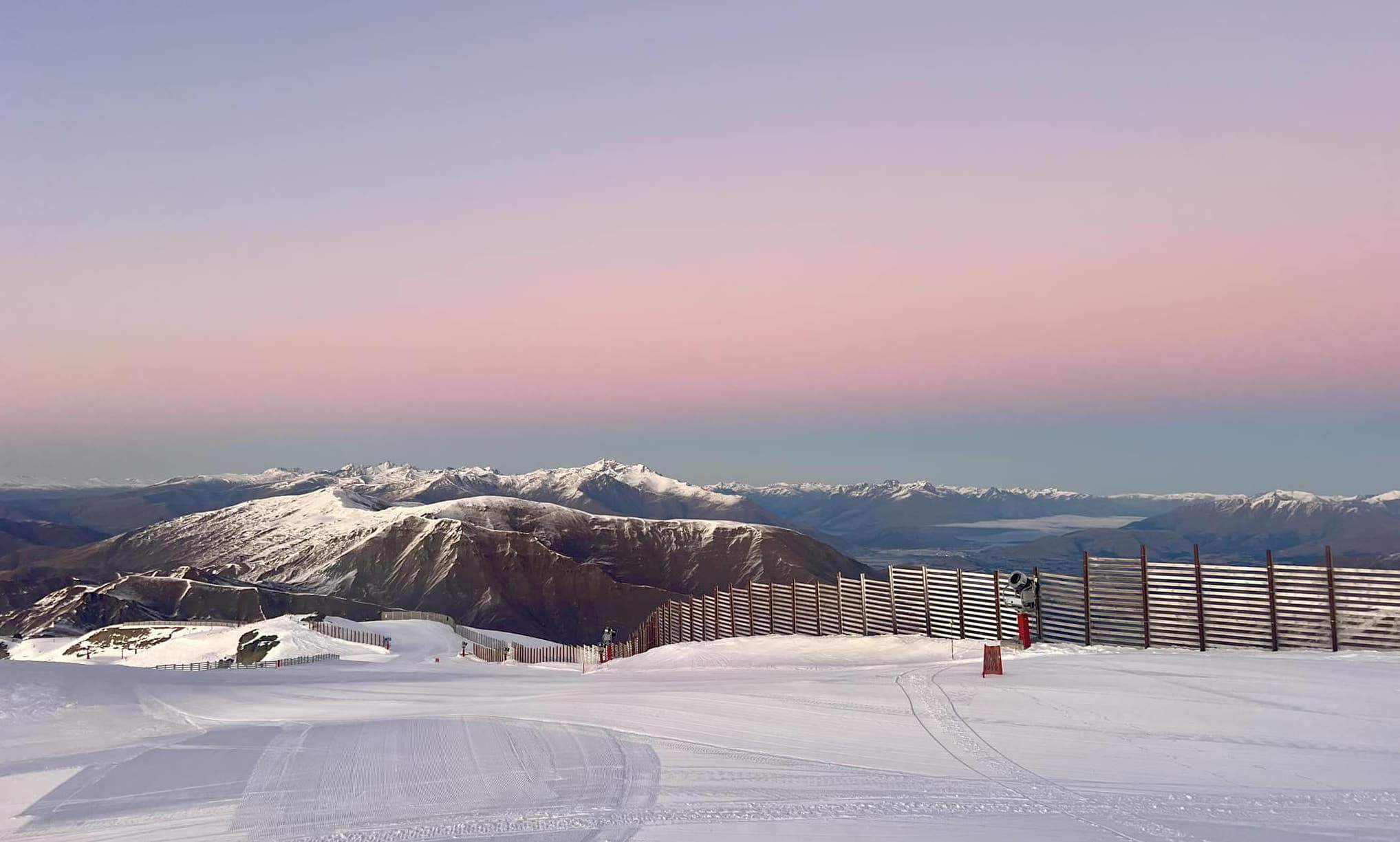
A bluebird day with a light NE breeze for the Southern Lakes and an E-SE breeze for Canterbury.
Saturday July 13th
Fine again, but NE winds become quite strong in Canterbury where some low cloud may reach the lower ski slopes.
Sunday July 14th
Clear blue skies for the Southern Lakes with a N-NE breeze.
Partly cloudy for Canterbury. NE winds will be brisk about Mt Hutt and Porters Pass where there could also be spot of drizzle in the afternoon.
Monday July 15th
Fine with building high cloud for the South Island. NE winds will be brisk about Mt Hutt and Porters Pass again but light elsewhere.
At night, light rain and high-level snow spread over Canterbury.
Extended Forecast
The rain band I mentioned in the intro should clear the country on Tuesday, July 16th, with just a small amount of rain and high-level snow also falling over the Southern Lakes. We could see a few more showers spilling over the Main Divide on Wednesday, July 17th, but for the most part, the weather doesn’t look too bad, as there’ll be a slow-moving low hanging out in the western Tasman Sea, directing just a light N-NW flow over New Zealand.
However, from Friday, July 19th, through the weekend of the 20th and 21st of July, the Tasman Low is expected to intensify before crossing the North Island, bringing heavy rain and strong winds there, as well as more moderate winds and precipitation to Canterbury, which could fall as snow to near base levels.
That’s all from me today, folks. The next forecast is Monday. See you then, and have a great weekend.
Grasshopper


