Australian Weekend Forecast, Friday July 12th – Snow Showers and Cooler SW Winds Build This Weekend, Then Heavier Snowfalls Monday
Mountainwatch | The Grasshopper
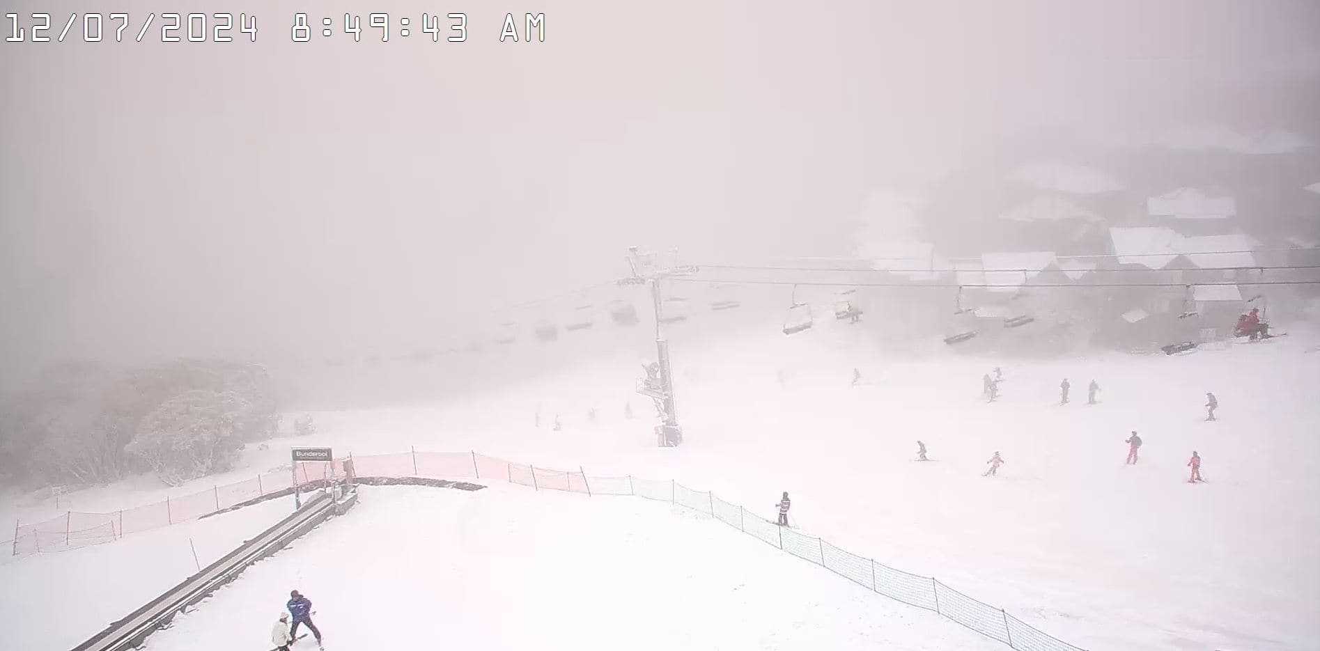
Boy are we hungry for some snow. We’ve had a little snow in Victoria overnight to whet the appetite, so check in with Reggae and the crew for the latest reports. The precip will continue over Victoria throughout Friday, but unfortunately snow levels will lift a little higher than we’d like.
The good news is we shouldn’t have to wait too long for more snow as a cooler southwest flow becomes established this weekend thanks to a low firing up in the southwest of the Tasman Sea. Snow flurries on Saturday will turn into more prolific snow showers on Sunday, of which Mt Baw Baw will make the most out of with 10cm or so expected, then become even more prolific on Monday as winds intensify for the first decent snowfall in a long time.
We can expect moderate snowfall on Monday, but unfortunately, warm air will weasel its way into the system, lifting snow levels to high levels over Victoria, where snow will turn into rain on low to mid-level slopes.
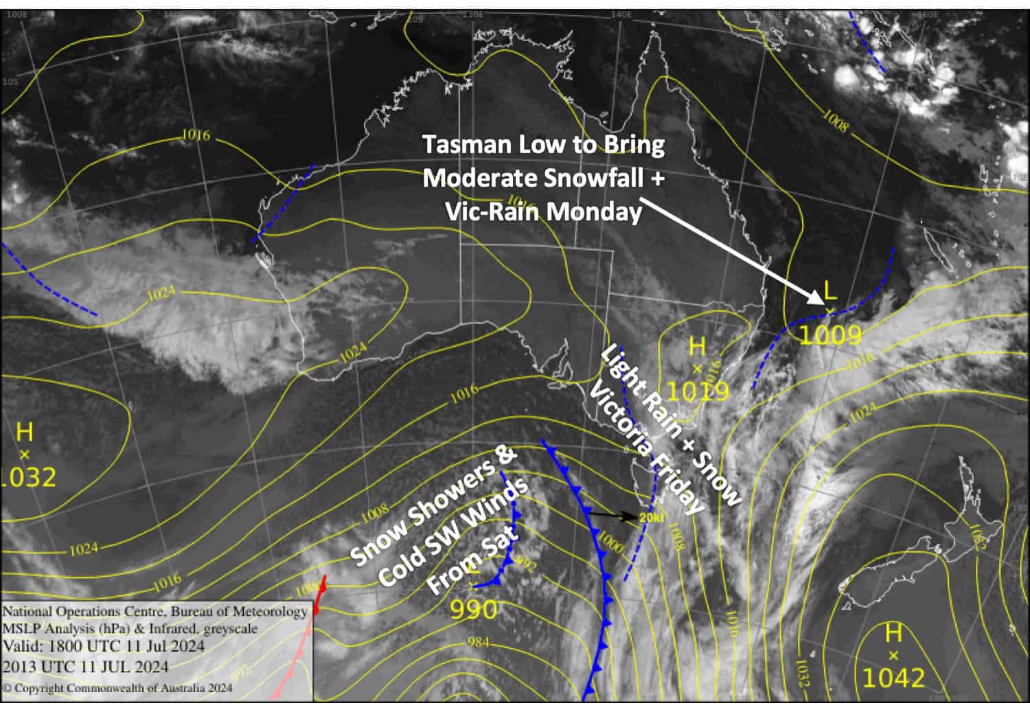
Friday July 12th
Occasional light rain or drizzle over Victoria, falling as snow above 1500-1600m, but snow levels will creep up to 1700m or more before clearing from late afternoon. A deck of high cloud for NSW, and we could see a light flurry or two this afternoon. NW winds gradually ease and turn westerly.
Saturday July 13th
A mostly clear start to the day, but cloud and snow showers develop over Baw Baw early before spreading elsewhere throughout the day, with only one or a few flurries showing up at the other resorts. S-SW winds will gradually get colder throughout the day.
Sunday July 14th
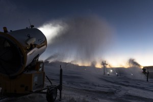
Brisk, cold SW winds will once again see snow showers become more widespread during the day. Snow levels should stay below base levels and the snow-making crews will be able to do their thing!
Monday July 15th
Finally, a decent powder day! We’ll see snow falling throughout the day, getting up around moderate intensities. However (there’s always a however!), snow levels will lift up to high altitudes over Victoria during the day. At this stage snow levels should stay low over NSW. Strong, gusty W-SW winds will reach gale force in exposed areas and make for pretty rough conditions.
Extended Forecast
With the low still churning away in the Tasman Sea, a milder S-SE flow will blow over the Aussie Alps on Tuesday, July 16th, with heavy falls of rain and mid- to high-level snow expected. Cooler winds on Wednesday, July 17th, may bring snow showers to lower levels before clearing out Thursday, the 18th, as winds drop off due to the Tasman Low heading off towards New Zealand.
The next snowstorm looks possible from next weekend, July 20th-21st
That’s all from me today, folks. The next forecast is Monday. See you then, and have a great weekend.
Grasshopper