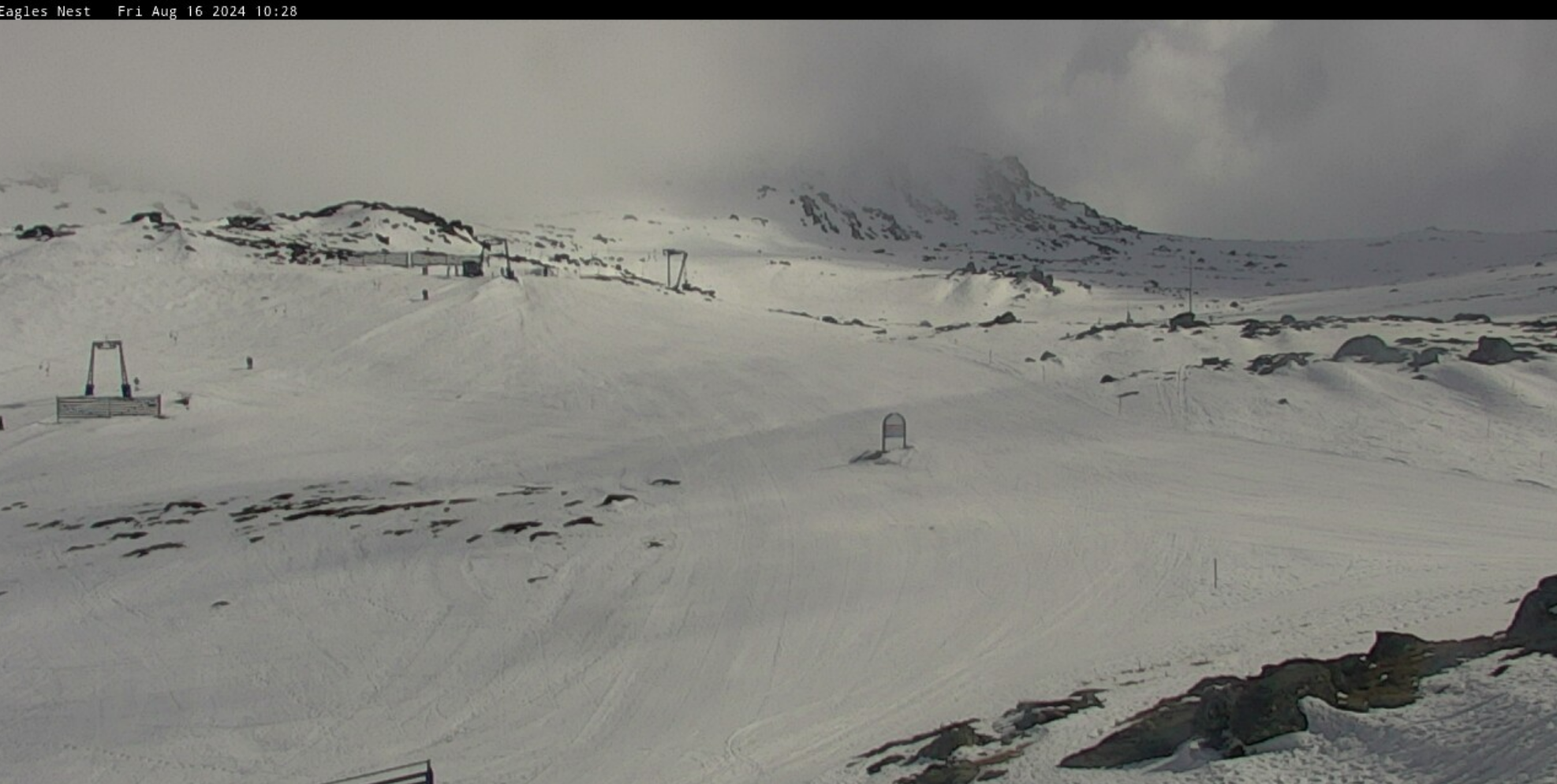
Australian Weekend Forecast, August 16th – Rain Develops Today, Turns to Snow Up High Saturday
Mountainwatch | The Grasshopper
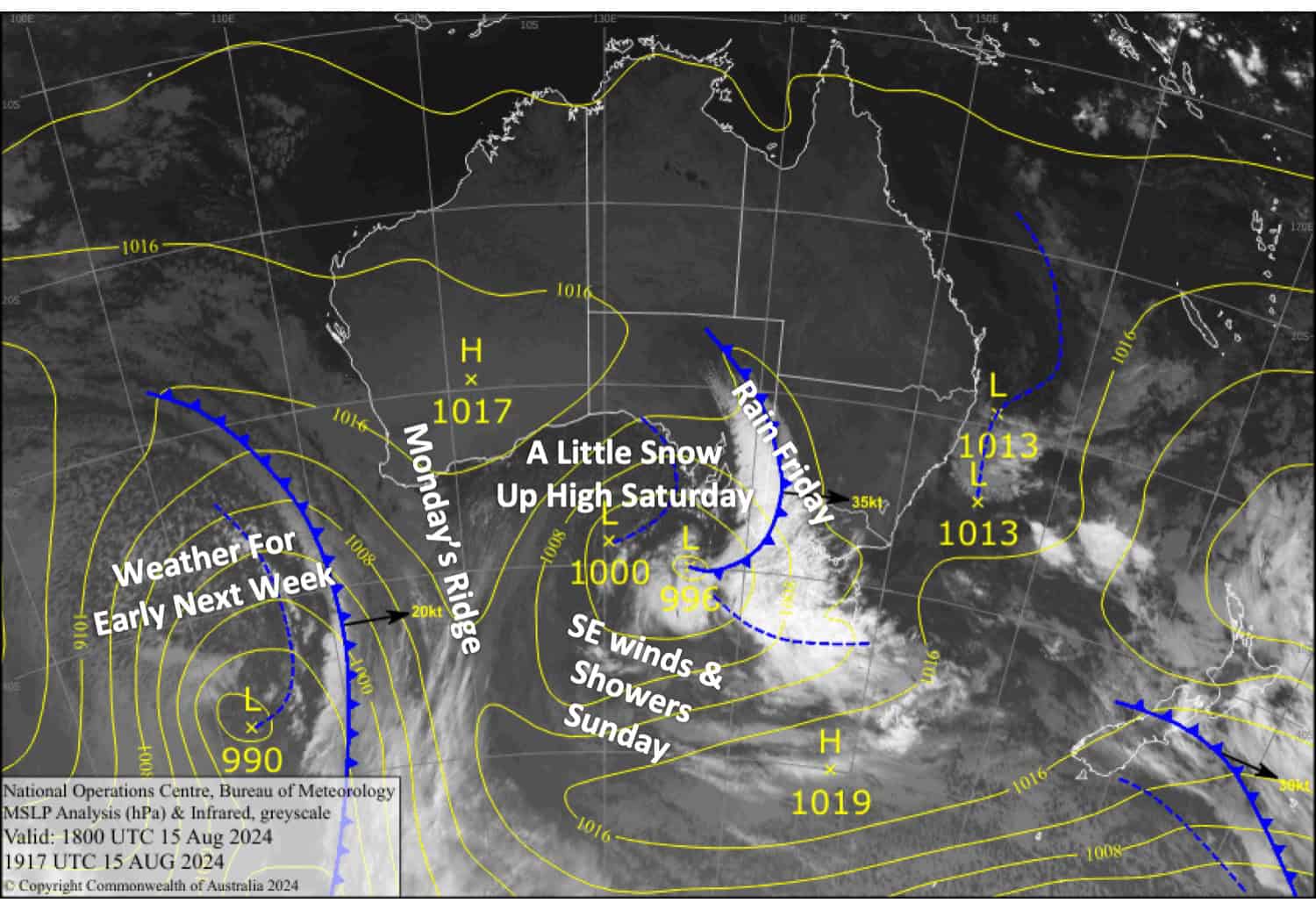
A front will bring rain as it passes over the Aussie Alps today. However, snow levels will lower to around 1600-1700 early Saturday, with about 2-7cm likely accumulating up there as precipitation continues throughout the day.
Southeast winds will push in some more showers on Sunday, but unfortunately, the airmass will be too mild for any snow. A ridge will move in for calmer, brighter conditions on Monday.
Friday August 16th
A nice start for most resorts, but patchy drizzle will develop later in the morning. Rain spreads eastwards over Victoria in the afternoon with some heavy falls, and then New South Wales in the evening. Gusty NW winds.
The rain will back off and turn to snow up high at night as colder air arrives.
Saturday August 17th
Rain at times, falling as snow above 1600-1700m with about 2-7cm accumulating up there. The rain/snow will clear in the evening as gusty NW winds turn SW, but it’ll continue falling on Mt Baw Baw through the night.
Sunday August 18th
Brisk SE winds will push in cloud and a little drizzle, but things should brighten up later in the afternoon as winds ease.
Monday August 19th
A partly cloudy day with light winds and a few light showers popping up in the afternoon.
Extended Forecast
Strong N-NW winds bring rain showers across Tuesday and Wednesday before a cold change on Thursday, possibly leaving a light dusting of snow. High pressure will likely clear things up for a lovely day next Friday.
That’s all from me today, folks. The next forecast is Monday. See you then, and have a great weekend.
Grasshopper


