Australian Forecast, Monday, August 19th – Wet & Windy Weather Kicks in On Tuesday
Mountainwatch | The Grasshopper
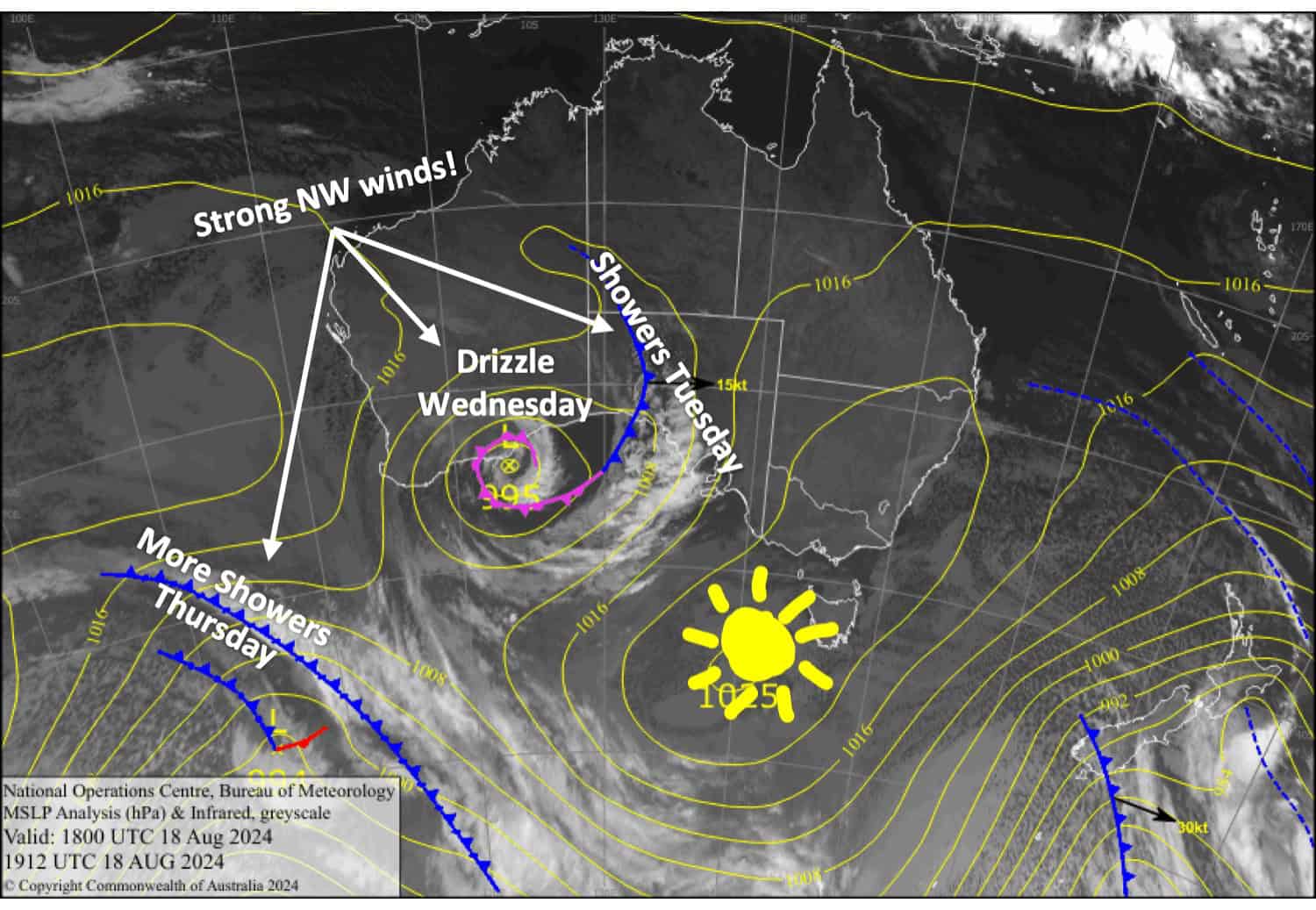
Today will be the best of the week as high pressure keeps winds and weather under control. A series of fronts caught up in a strong westerly flow bring wet, mild and windy conditions to the Aussie Alps the following few days. Our snowpack will take yet another hit, but cooler temps will see some snow falling about the tops late Wednesday and Thursday.
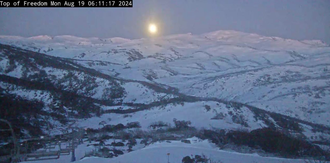
Monday August 19th
A nice sunny day for New South Wales resorts, while Victorian resorts will have a partly cloudy one with a light shower or two possible in the afternoon. A light breeze from the northwest will turn northwards.
Tuesday August 20th
A fairly cloudy day, with rain showers in Victoria and one or two in New South Wales. Northwest winds strengthen, reaching gale force in exposed places by the end of the day.
Wednesday August 21st
Another damp day with rain and drizzle at times, turning to snow above 1800m in the evening. Strong northwesterlies will blow a gale in exposed areas of New South Wales during the morning.
Thursday August 22nd
Rain and drizzle, falling as snow to around 1800m, will clear during the afternoon while strong northwesterlies persist.
Extended Forecast
High pressure will bring mainly fine weather on Friday while westerly winds ease. However, northwest winds will go from strength to strength this weekend as another couple of fronts bring more rain showers.
A cool change may see a little snow falling up high on Monday, but our best bet for snow is through the back half of next week when models hint at a colder, snowier end to what has been a very poor August. Fingers crossed!
That’s all from me today, folks. The next forecast is Wednesday. See you then, and have a great couple of days.


