Australian Forecast, Monday, August 26th – Wild Weather Continues, a Little Snow Still in the Mix
Mountainwatch | The Grasshopper
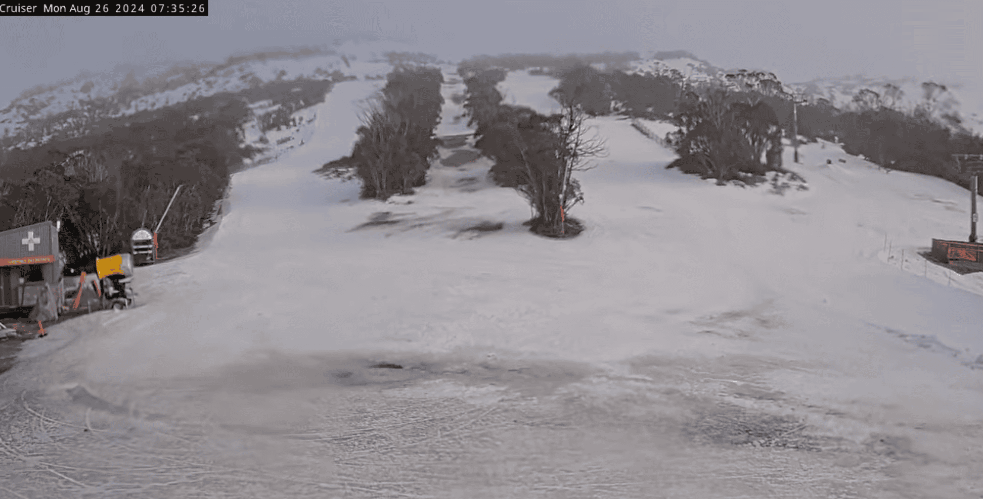
The weather hasn’t been kind over the past week. Yesterday, Sunday, was particularly nasty, with heavy rain and strong winds. The snowpack has taken a hammering and is now looking a little battle-wary.
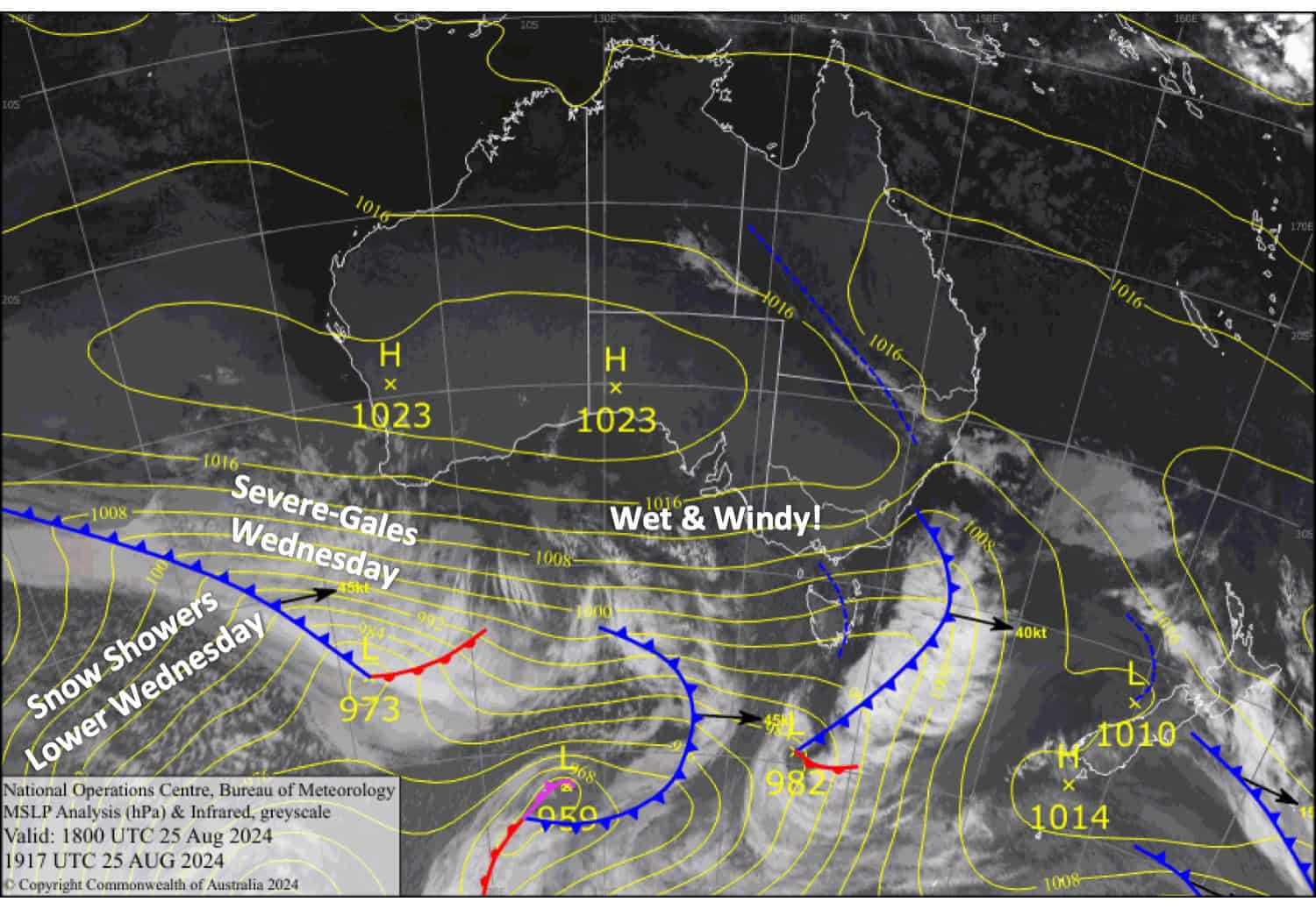
Winds will remain strong for the rest of the week, hampering lift operations while wet conditions will continue to gnaw away at the snowpack. However, cooler air will arrive on Wednesday, allowing high-level snow to lower to near 1500m on Wednesday night before bouncing back up on Thursday. Over Wednesday and Thursday, we could see between 5-15cm accumulate up high, with a few centimetres possibly lower down.
Monday August 26th
Cloudy, murky, drizzly conditions may get a little brighter in the afternoon as strong westerlies ease a little and turn northwest. Light snowfall about mid-upper slopes in the morning.
Tuesday August 27th
Strong northwesterlies rise to gale, possibly severe gale in some areas, which will limit lift operations. Victorian resorts will be murky and drizzly again, but it’ll brighten up later in the afternoon. Partially cloudy in New South Wales.
Wednesday August 28th
Severe gale northwesterlies will make life very difficult in the mountains, so prepare for the worst. Showers develop early and will turn to snow above 1700m in Victoria and 1900m in New South Wales in the morning, then to 1500-1600m at night.
Thursday August 29th
Showers continue throughout the day, falling as snow to near 1500m at first but lifting to 1800m or above in the morning as gale westerlies turn northwest and back off a touch.
Extended Forecast
Northwesterlies will continue to blow its guts out through Friday, the weekend and into Monday while several fronts whip over the Aussie Alps, bringing high-level snowfall, which may briefly dip down to mid-slopes following each front. The lower slopes, in particular, will take even more of a hammering.
High pressure is likely to calm things down later on Monday before active weather returns later next week.
That’s all from me today, folks. The next forecast is Wednesday. See you then, and have a great couple of days.
Grasshopper


