Australian Forecast, September 18th – Strong, Cool Westerlies Bring Snow Showers Thursday through into the Weekend
Mountainwatch | The Grasshopper
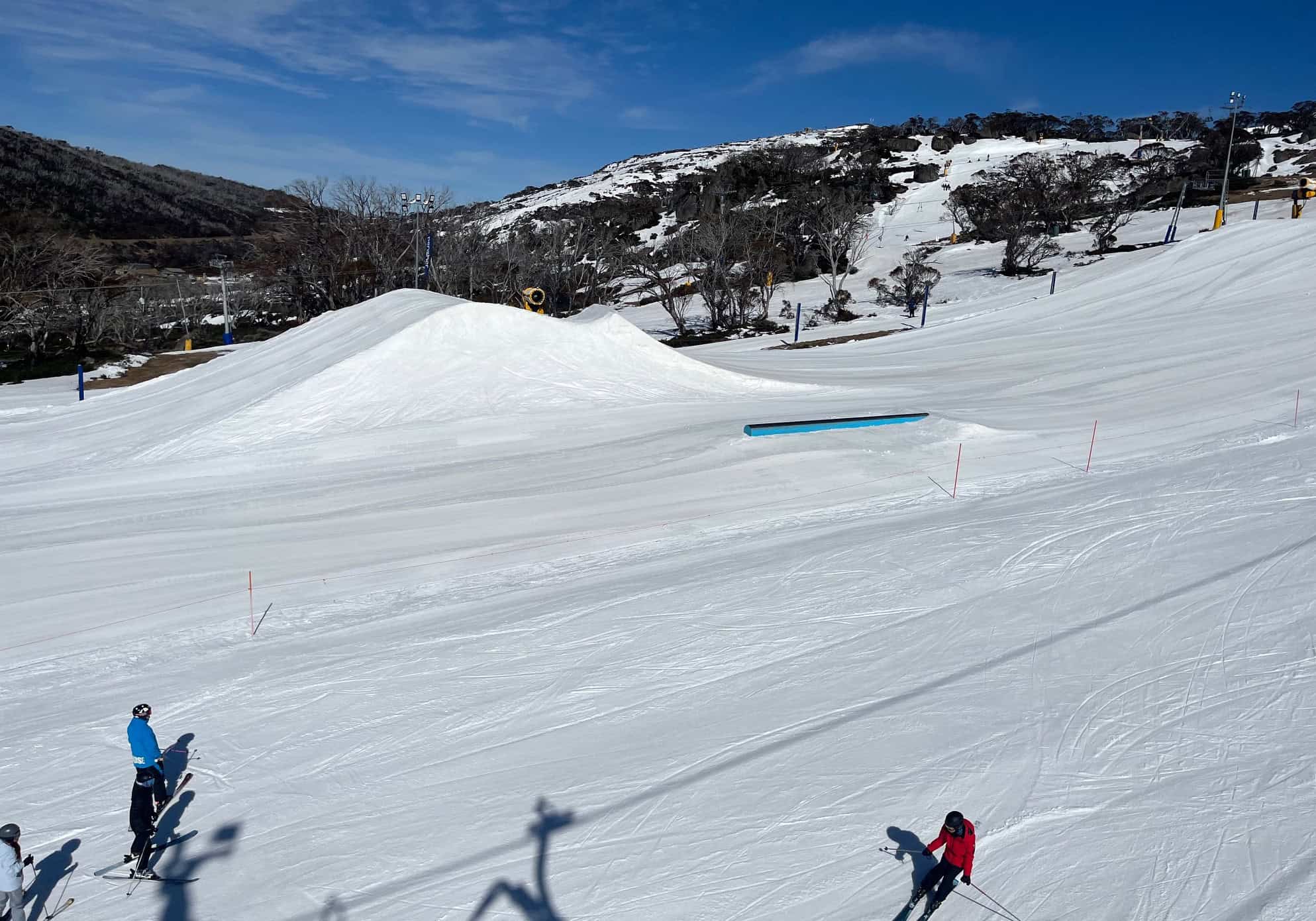
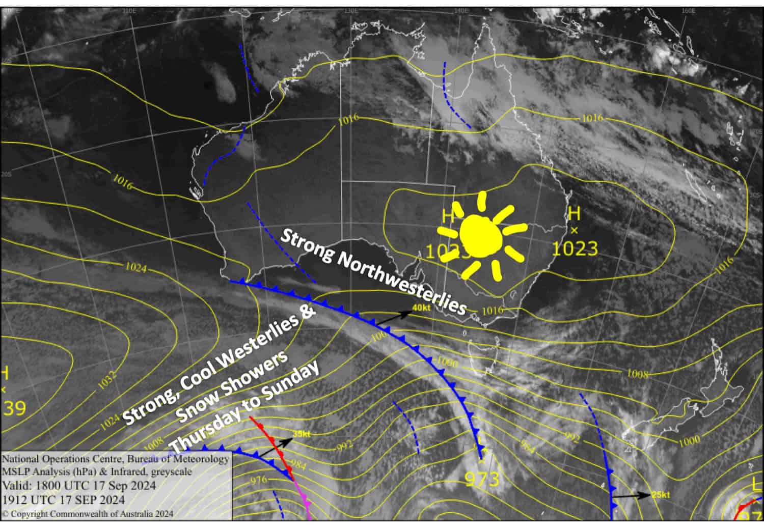
We’ve got strong northwest winds today (Wednesday), but skies are clear. From Thursday through to Sunday, the winds will turn a little cooler as a procession of fronts brush over the Aussie Alps, bringing persistent showers. Snow levels will mostly stick to around 1700m, with accumulations of 15-25cm above that. Lower elevations will also get a dusting as snow levels are expected to dip each night. Perisher is now the only resort open and should do well out of this.
Wednesday September 18th
Sunny skies, but strong northwesterlies are blowing a gale in exposed areas.
Thursday September 19th
Snow showers spread eastwards over Victoria before dawn then to New South Wales shortly afterwards, but it’ll turn wet about the lower slopes as snow levels lift to 1700m or above. Snow levels drop again in the evening as snowfalls ease. Strong westerlies, reaching gale force in exposed areas, will make for tough conditions.
Friday September 20th
Light snow showers spread over Victoria again in the morning and New South Wales in the afternoon, but it’ll turn wet about the lower slopes again and snow levels lift to around 1700m. Brisk west to northwest winds.
Saturday September 21st
Light showers continue throughout the day, falling as snow to low levels at first, but lifting to about 1700m later in the morning. Stiff west to northwest winds.
Extended Forecast
Snow showers to about 1700m and strong westerly winds will eventually ease on Sunday. Then, next week, we’ll likely see warm west-to-northwest winds through Monday and Tuesday before a passing storm possibly brings cold air and a fresh dump of snow on Wednesday and Thursday. It’s still early and models are inconsistent, so we’ll wait closer to the time before making any big calls.
That’s all from me today, folks. The next forecast is Friday. See you then, and have a great couple of days.
Grasshopper


