Grasshopper’s Weekly North America Forecast, Dec 12th – Storm Cycle Ramps Up with Deep Powder Instore
Mountainwatch | The Grasshopper
Written Wednesday afternoon, 11th December (Pacific Standard Time)
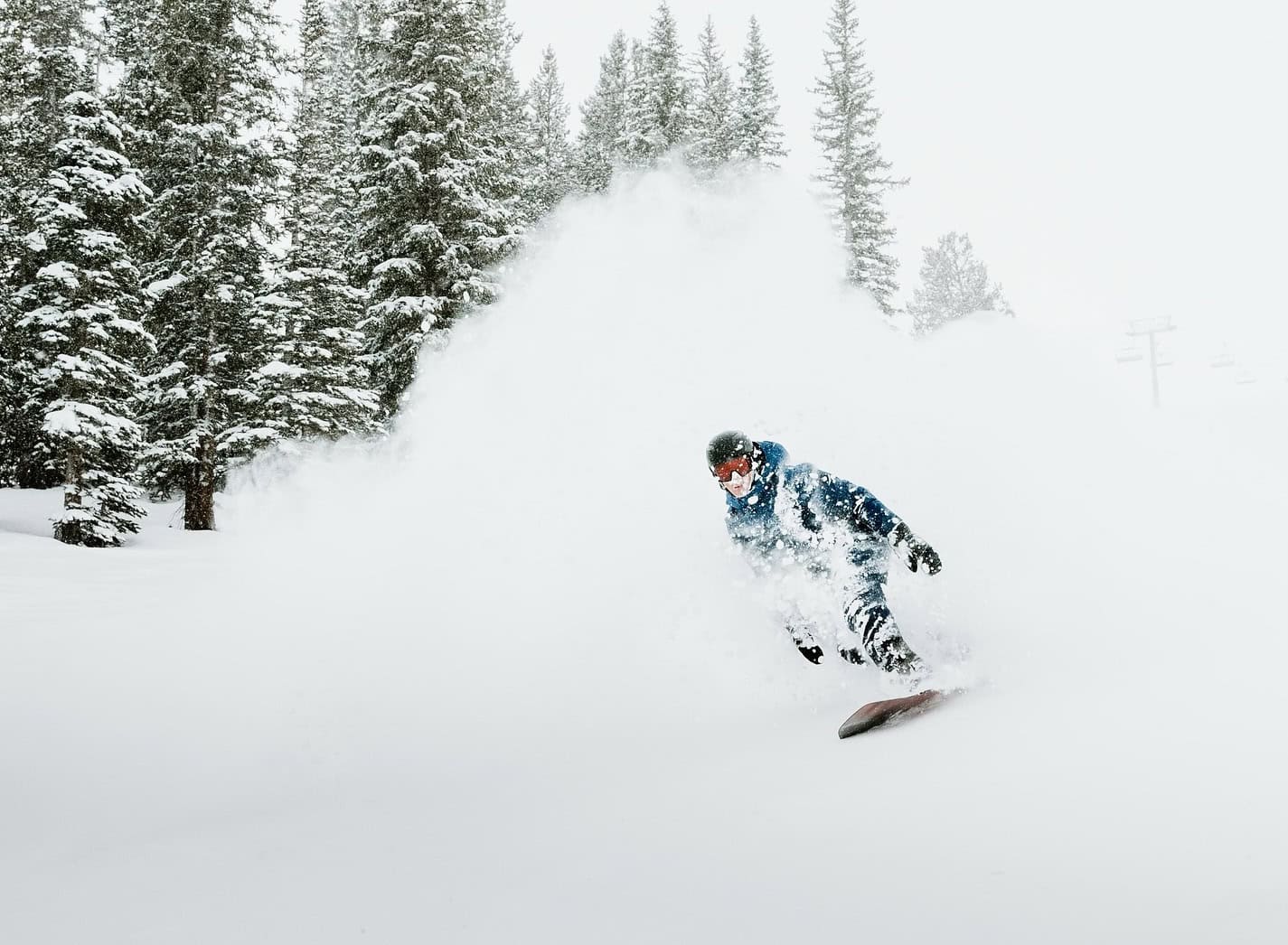
Northern resorts picked up some decent snow at the weekend, with totals generally ranging between 15-30cm, although larger totals could be found at high elevations. Colorado also did well, while other areas just received a light dusting. It was the first snowfall after a prolonged dry spell that followed on the heels of big snowstorms earlier in November.
This week, we’ll see even more action than last week as a series of Pacific storms move eastwards across central-northern parts of western North America. The Pacific Crest will be favoured with deep totals, while the central-northern Rockies should also see moderate-heavy accumulations.

7-Day snowfall accumulation. Note that snow depths here are calculated using a 10:1 ratio, where 1mm of rain equals 1cm of snow. This can significantly underestimate things here in North America, where 1mm of rain often equates to 1.5-2cm of snow, especially in the Rockies, where it can be really light n’ fluffy. Source: ECMWF, Windy.com
Thursday Dec 12th to Sunday Dec 15th
Thursday, we will see a storm push in from the Pacific, favouring Californian resorts with moderate totals. Lighter snow will spread further north across the Cascades into BC’s Coast Mountains and inland to the northern and central Rockies at night.
Another more powerful storm will follow suit on Friday, bringing more widespread moderate-to-heavy snowfall to central and northern areas before exiting the west Sunday night. The Sierras and BC Coast Mountains will see the deepest totals, with some areas possibly scoring 75+ cm. Resorts in the Cascades and northern-central Rockies, from southern Canada to northern Utah, will also pick up decent loads of between 20-50cm, while lighter snowfall is expected further north in Canada and down in southern Utah and Colorado.

Monday 16th to Wednesday 18th December
A third Pacific storm will move eastwards over central-northern areas on Monday and Tuesday. With this one, things are a little more uncertain, but current forecasts expect it’ll move a little quicker and leave behind a light-moderate load of powder in the same areas as the weekend storm.
A fourth and final storm will likely target the northwest from late Tuesday through Wednesday. Moderate-heavy snowfall is possible at mid-high altitudes in the BC Coast Mountains and northern Cascades, and light snowfall is possible in the northern Rockies.

That’s all from me today, folks. Have a great week, and I’ll see you back here next Thursday for another weekly rundown of North America’s highlights and snowlights.
Grasshopper


