Australian Weekend Forecast, Friday August 29th – Storm of the Season, Numbers on Track at the Halfway Mark
Mountainwatch | The Grasshopper
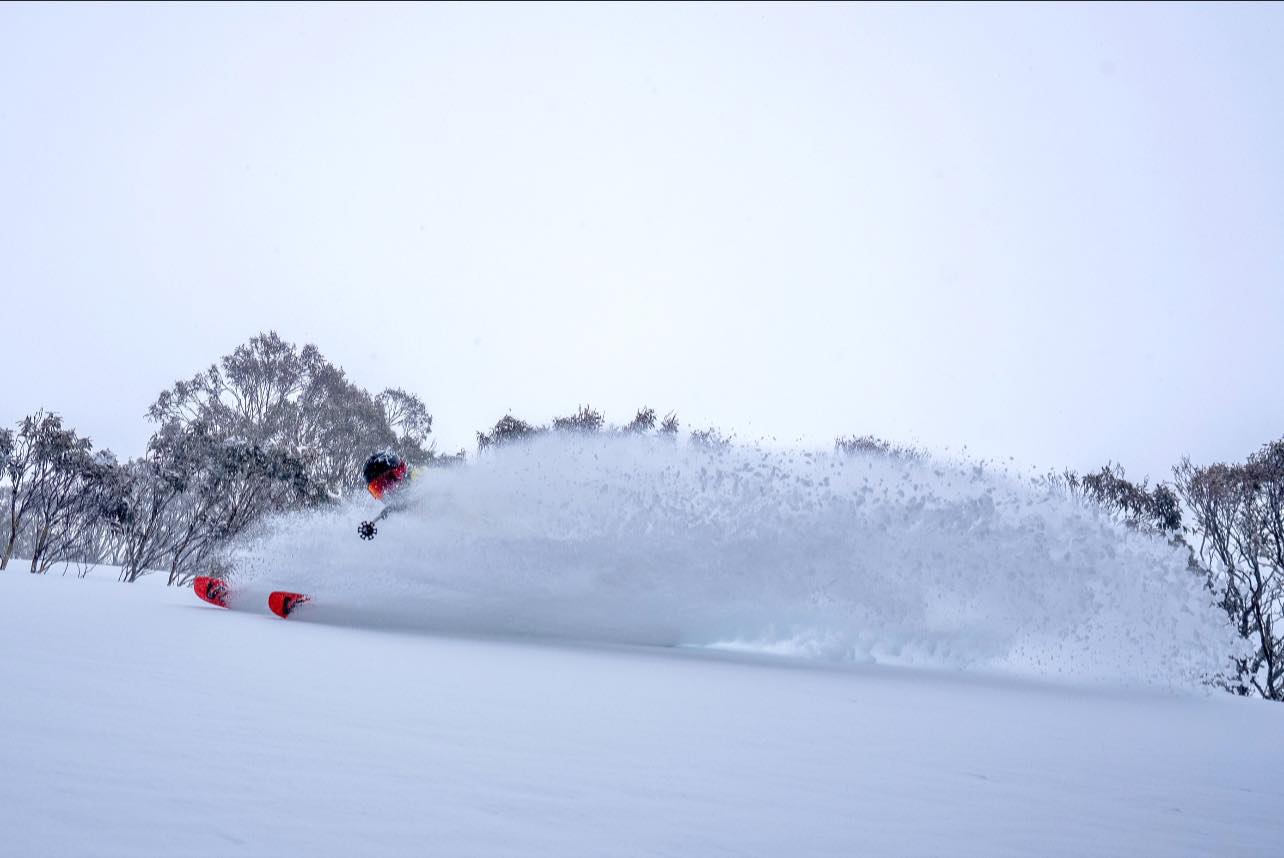
We’re about halfway through the Storm of the Season. By Thursday morning, resorts reported totals between 21 and 27cm, with 10cm for Mt Baw Baw. Since then, another pile of close to 20cm has built up on Perisher’s snow stake by the time of writing, with snowflakes still darting across the screen.
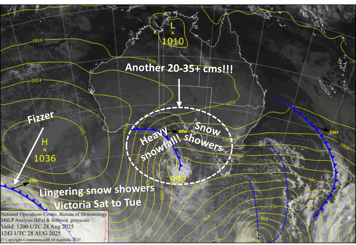
We should see another 20 to 35+ cms through the second half of this storm, with snowfall becoming heavy later today, Friday, into early Saturday as the final storm system rolls through. Strong northwesterlies will also blow in an extra load from the windward side onto the upper slopes.
After a strong southerly rips through early Saturday, we’ll be left with lingering showers and flurries in Victoria through the weekend and Monday and Tuesday as winds gradually ease and turn north west. New South Wales, meanwhile, will be dry with plenty of sunshine and deep powder to kick off the spring season.
Friday August 29th
Snow showers build into heavy snowfall through the latter half of the day as the next frontal system passes over, but it may turn a little wet and sleety below about 1600m for a time in the afternoon. Blizzard conditions with gale to severe gale northwesterlies in exposed areas.
Saturday August 3oth
Heavy snowfall eases to snow showers during the morning after a humdinger of a southerly wind change rips through before dawn. The snow showers gradually dry up throughout the day as gale southerlies abate and turn southwest, although they’ll linger on Mt Baw Baw till late.
Sunday August 31st
Snow showers and flurries linger in Victoria, especially about Mt Baw Baw and Mt Buller, as southwesterlies continue to ease. However, it may be wet and sleety below about 1500-1600m. New South Wales resorts will stay dry with plenty of sunshine.
Monday September 1st
A partly sunny, partly cloudy day as westerly breezes die away, with the chance of rain and snow showers in western Victoria.
Tuesday September 2nd
Another partly sunny, partly cloudy day with a few showers of rain and mid- to upper-level snow in Victoria. Northwest breezes develop.
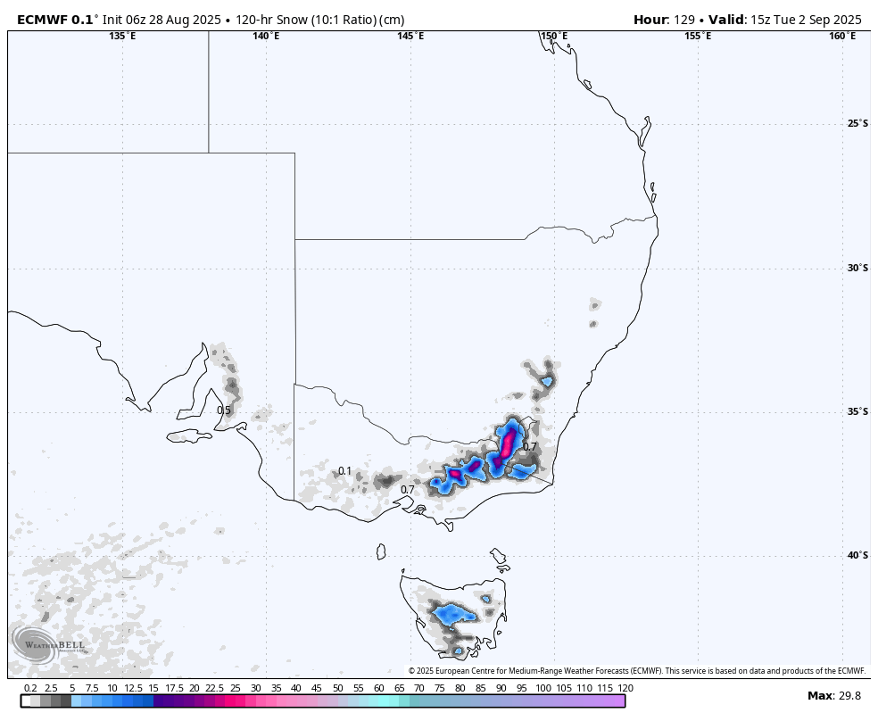
Extended Forecast
Weather-wise, there’s nothing too major lined up for later next week. A weak front will likely bring showers of snow and low-level rain on Wednesday, September 3rd. A stronger system is on the cards around Friday and Saturday, September 5th and 6th, bringing rain, high-level snow and strong northerly winds initially, followed by a cold change and a dusting of snow.
That’s all from me today, folks. I’m sending out these forecasts every Monday, Wednesday and Friday throughout the season. Have a great weekend, and I’ll see you back here on Monday.
