World Snow Wrap, March 23rd, 2026 – Powder in Canada, Early Meltdown in US, Dry March in Japan, Incoming Storm for Europe.
Mountainwatch | Reggae Elliss
Our final World Snow Wrap for this northern hemisphere season and there is a big variety of late March conditions across the different regions. Resorts in the western US are in the middle of a long dry spell with record high temperatures, but north of the border resorts in BC and Alberta have been doing well over the past few weeks with regular snow falls and more snow is on the way this week.
It has been a mild and dry march in Japan where the season is winding down while in Europe weeks of fine weather are about to give way to another winter storm.
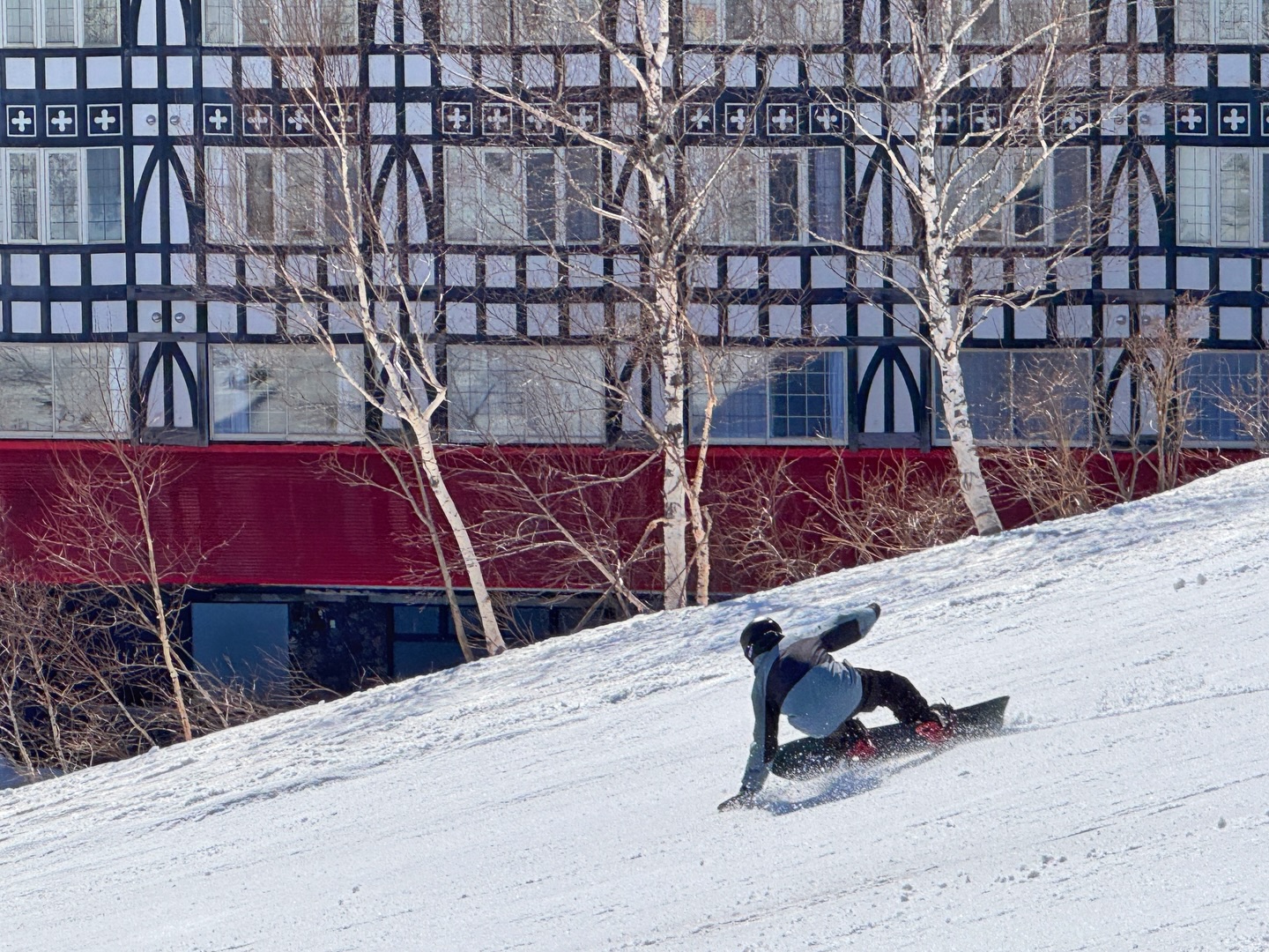
Japan
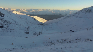
While spring arrived early in late February for resorts on both Hokkaido and Honshu, the past 10 days have seen colder weather for the north island with overnight temps well below zero. There have also been a few small top-ups keeping the cover in good shape, although the totals since the start of March aren’t huge, Niseko with 50cms and Furano 28cms. Definitely no “March madness” this year although Furano had a nice 10-15cms of cold dry snow on Saturday.
In Niseko the Village and Hanazono areas are due to close on April 12th while Hirafu and Annupuri will be open until May 6th. In Furano the Kitanomine side closed yesterday but lifts will continue to spin on the Furano side until May 6th, conditions permitting. The forecast for Hokkaido is for a couple of days of snow flurries followed by sunny days, cold nights and spring snow for the rest of the week.
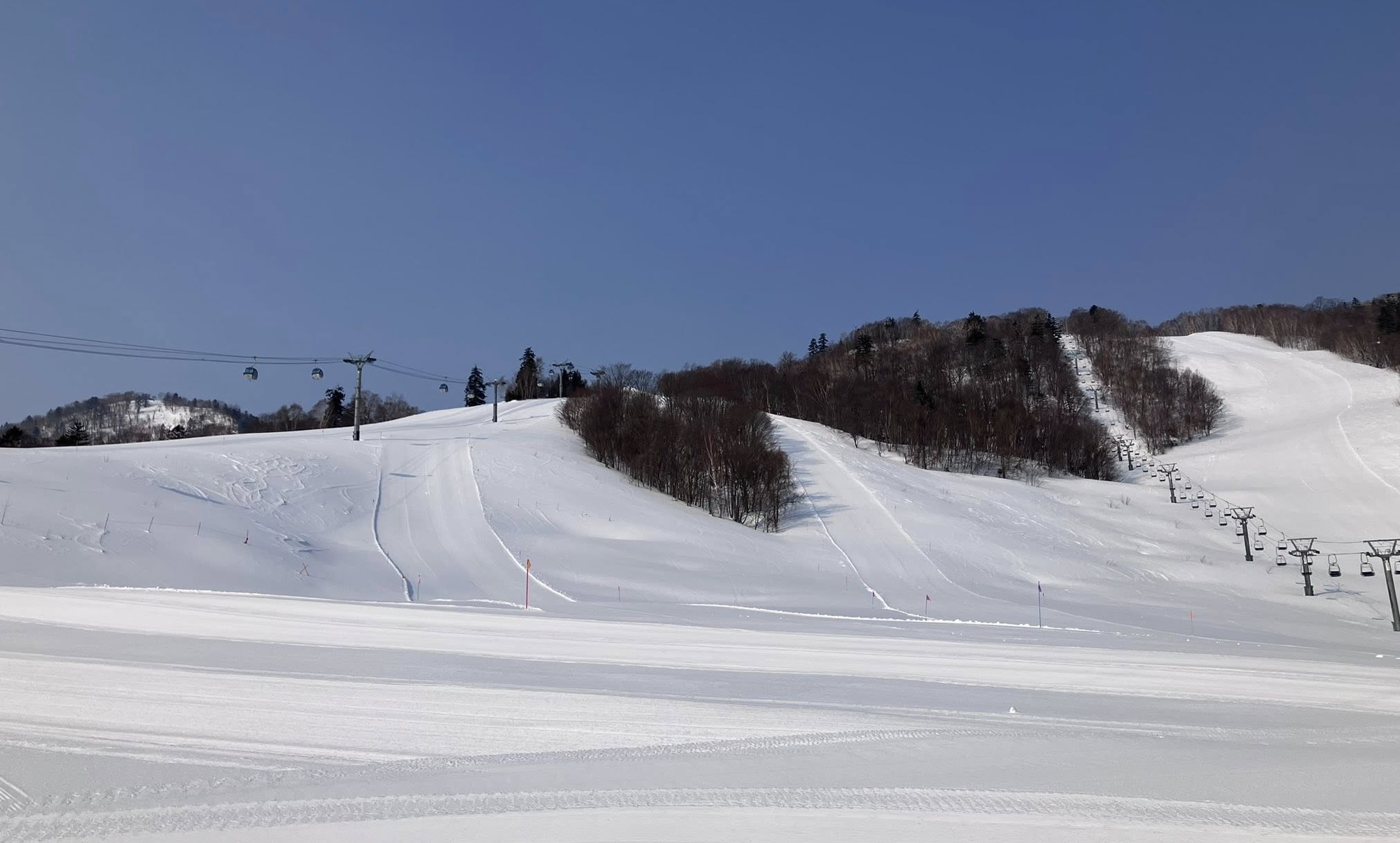
Further south it has been a mild March for the Nagano resorts, max daytime temps climbing into the teens at lower elevations where the snow cover has taken a hammering over the past three weeks. Hakuba has had a grand total of 2cms this month, a couple of storms delivering rain to the top. The monthly total at the base in Myoko is 20cms, with snow falling on six days this month, the biggest total just 5cms on March 13th which is the also the last time it snowed. Snowfalls and monthly totals are similar for Nozawa Onsen and Shiga Kogen.
Closing dates vary with some lifts in Hakuba, Nozawa and Shiga Kogen expected to spin until May 6th. In Myoko most resorts close on March 29th although Akakura Kanko and Lotte Arai plan to stay open until May 6th. The short-term forecast is for a few snow showers and mix of snow/rain for Hakuba this week ahead of sunshine for other Nagano resorts later in the week.
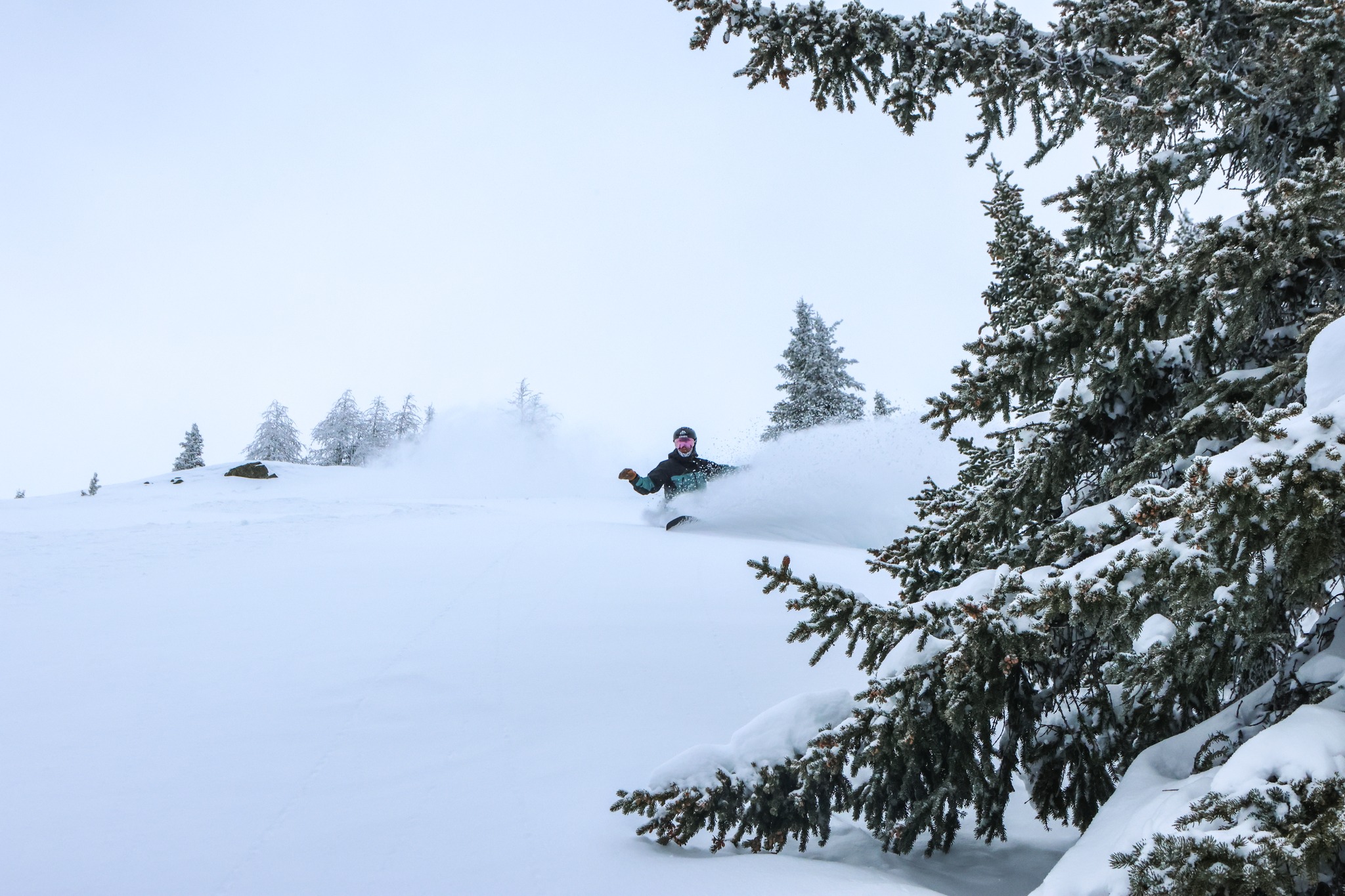
Canada
March has been a different story for some interior resorts in interior BC, Kicking Horse receiving 125cms over the past two weeks while Revelstoke reports 135cms thanks to two separate storms. Last week’s storm was warmer with rain down low but the week preceding enjoyed a cold winter storm, Kicking Horse receive 70cms from March 8th-15th which resulted in quality top-to-bottom powder days. It was a different story in Whistler where temps were milder with just a few cms of dense snow each day and drizzle down low.
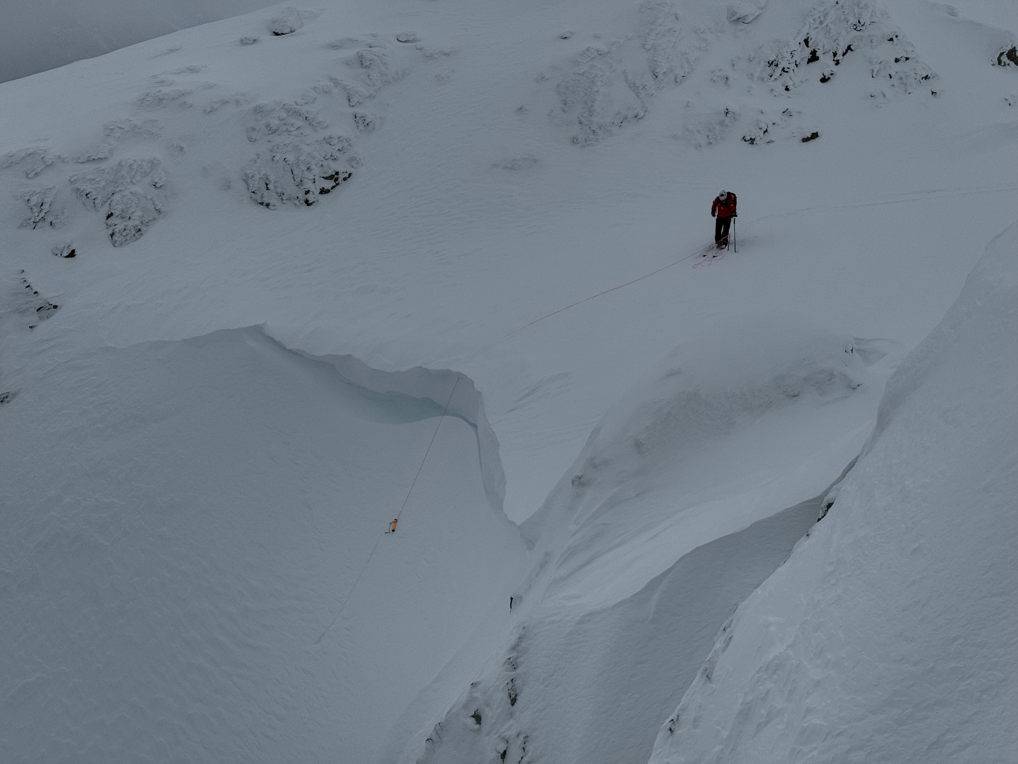
A stronger storm hit Whistler and the Coast Mountains last week but it was warm and wet, a “Pineapple Express” bringing three days of rain at mid-mountain down to the base. The snow that fell up high was heavy and wet which caused a delayed openings after the weather cleared on the weekend.
The Alberta resorts have also enjoyed good conditions this month, a cold storm from March 7-14th dropping 60cms of quality snow for Lake Louise and the Banff resorts. Another storm dropped a further 15-25cms at mid-mountain levels last week before things cooled off over the weekend.
The forecast is looking good for more snow across western Canada as another storm hits on Tuesday and it is much colder than last week’s storm. Lake Louise should see 30cms across a four-day period with max temps below zero. The seven-day forecast for Revelstoke and Kicking Horse is 42cms and cold temps will ensure a few fun powder days. This week is also looking good for Whistler Blackcomb with 40-50cms in the forecast and with freezing levels dropping mid-week snow will fall to base levels.
USA
It has not been a good season for most of the USA and the past week has seen some record warm temps for resorts in Utah, Colorado and California. Prior to that a storm around March 10th brought a rare but welcome taste of winter to resorts in Colorado and Utah, but temperatures rose quickly after that. The snowpack has been below average and fragile all season and this heat wave has accelerated the meltdown, leading to some early closures in Utah and Idaho.
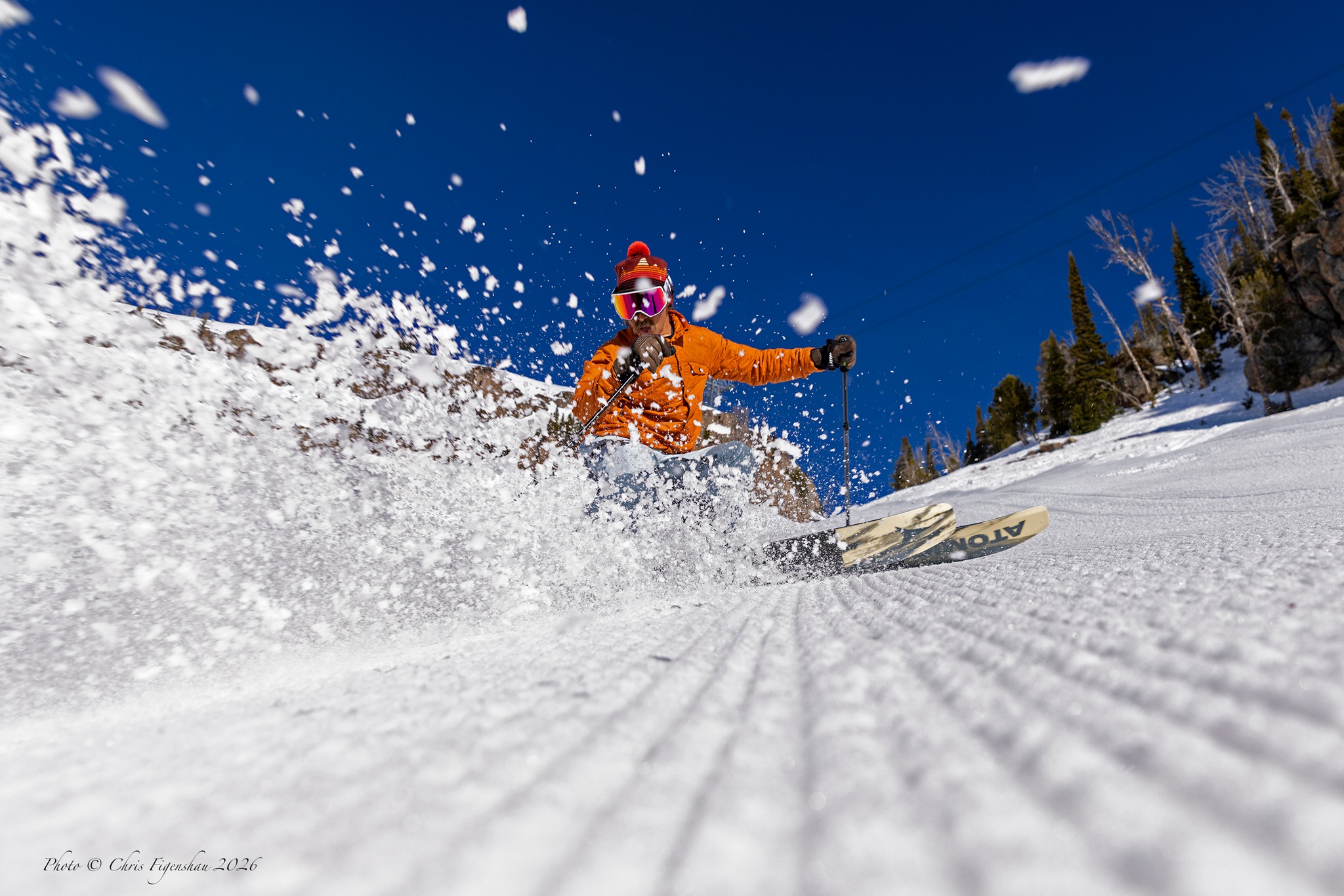
Thanks to a couple of good storms in February and another in early March, resorts in the Northern Rockies like Jackson Hole and Grand Targhee are doing OK in regard to the snowpack. However, they have not been immune from the heat over the past week, Jackson Hole recording a March record on the weekend when the max temperature reached 21 degrees Celsius.
It has been a dry month in California , the Tahoe resorts and Mammoth recording zero snow so far in March. Temps have also been well above average but colder nights have ensured some fun spring snow. The warm, dry trend will continue across the western US for the rest of the month, the next chance of a storm in the first week of April.
Europe
The first half of March brought stable sunny spring like weather across the Alps with clear skies, cold nights and warm days. The result has been some excellent spring skiing. The French Alps saw some snow and wind last Wednesday which cause a few delays the freeski World Cup in Tigne. Another quick storm in Italy’s Dolomites also created problems for the Paralympics in Cortina last week, with some alpine events delayed due to the dense snow.
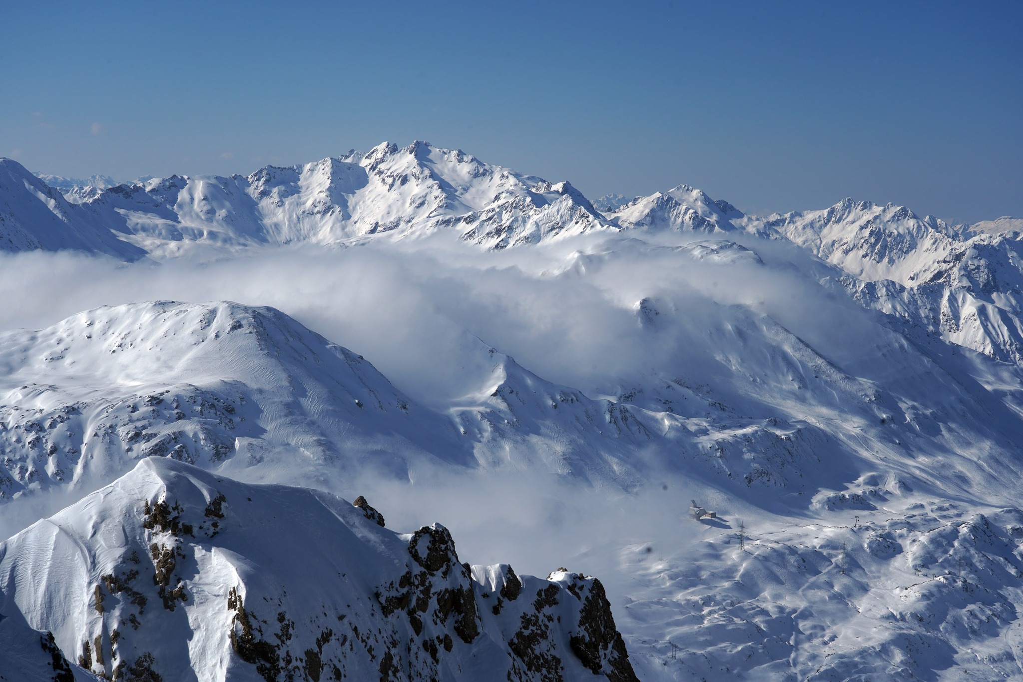
The past week has been mainly fine across the Alps, but that will change in a couple of days, with widespread snowfalls expected for the back half of the week. At this stage it is looking like a mid-winter forecast with significant snow totals and very cold sub-zero temperatures from Wednesday through to the weekend, Verbier in line for 44cms while St Anton should see 35-40cms
Where we’d like to be this week
Verbier. Snow on the way and it has some of the best terrain in Europe. And the Extreme Verbier, the final event of the 2026 Freeride World Tour, is scheduled to run some time between March 28th-April 5th. I was in Verbier for the 2022 event and it is one of the best porting events I’ve ever witnessed. Prime time to be in Verbier