Grasshopper’s Australian Weekend Forecast, Friday, September 4th – Another Blow to the Snowpack Before a Little Fresh Snow This Weekend
Mountainwatch | The Grasshopper
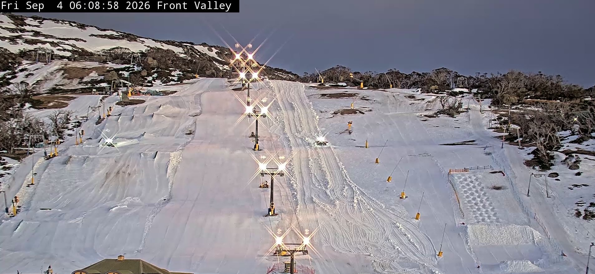
Our thin snowpack took another hammering Wednesday night when a passing front brought rain and strong, warm northwest winds. New South Wales bore the brunt, with 22–33mm filling the gauges, while Victoria got off lighter with only a little rain. As a result, Charlotte Pass will have its last hurrah on Saturday and Hotham, Falls Creek and Buller will close on Sunday, joining Baw Baw and Selwyn, which fell victim some time ago. It’s been a lean winter to say the least, but we were doing OK until all the rain and wind of the last couple of weeks.
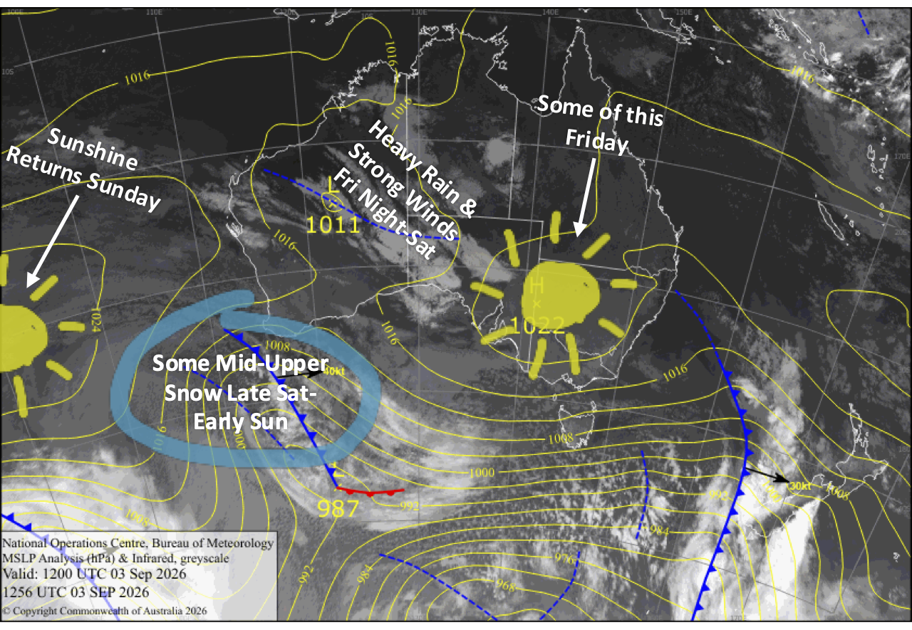
Unfortunately, things aren’t going to get any better, with an OK Friday giving way to a gnarly storm overnight into Saturday. Heavy rain and gale-to-severe-gale northwest winds will deal another big blow to the already fragile snowpack, potentially putting the nail in the coffin for some resorts.
There is a little reward at the end, though, as colder air arrives later Saturday and turns the rain to snow about the mid and upper slopes. Around 2-10cm of fresh snow could accumulate up high before things dry out Sunday morning, with sunshine breaking out. From there, high pressure settles things down nicely for a mostly sunny work week.
Friday 4th September
An OK sort of a day with partly cloudy skies, a possible light shower or two, and brisk northwest winds. The worst comes overnight as a storm system moves in, bringing rain and gales.
Saturday 5th September
It’ll be a gnarly day, especially during the morning, as a strong storm system passes over, bringing heavy rain and gale-to-severe-gale northwest winds. It’ll deal another heavy blow to the snowpack and may even be the nail in the coffin for some resorts.
Conditions start to improve late in the day as cooler westerlies arrive, with precipitation easing to lighter snow showers about the mid and upper slopes.
Sunday 6th September
Remaining drizzle and mid-upper flurries dry up during the morning as strong southwesterlies die away, leaving between 2-10cm of fresh snow up high. Clouds then clear for a sunny afternoon.
Monday 7th September
Clouds clear in the morning for a sunny day, but it’ll linger for a bit longer on Mt Buller, where there could be a light shower or two late morning. Brisk southwesterlies gradually turn south.
Tuesday 8th September
Nice and sunny with a little afternoon cloud as southerly breezes die away.
Extended Forecast
High pressure will keep things fine and settled through mid-next week before drifting away over the weekend, opening the door for storms to return. Models aren’t well aligned this far out, but the unsettled weather will likely start warm and wet, with a chance of a colder change and some snow sometime the following week. It may be too little, too late to save our bacons, mind you.
That’s all from me today, folks. I’m firing out these forecasts every Monday, Wednesday and Friday throughout the season. Have a great couple of days, and I’ll see you back here on Monday.