2011 SNOW SEASON OUTLOOK – New Zealand
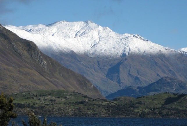
Whatever the outlook, snow has already come to the NZ alps. Image:: Treble Cone
As I type a dominant south-westerly change is about to throw a white blanket over many brown, bare ski slopes across both the North and South Islands.
It’s hard to say what’s in store for New Zealand Ski resorts this winter, but with one of the strongest ever La Nina’s dying out, sea surface temperatures are above normal near New Zealand.
The National Institute of Water and the Atmosphere (NIWA) is predicting a triple threat for ski resorts:
• More frequent northerly and north-westerly winds.
• Above average temperatures
• Below average rainfall for South Island resorts.
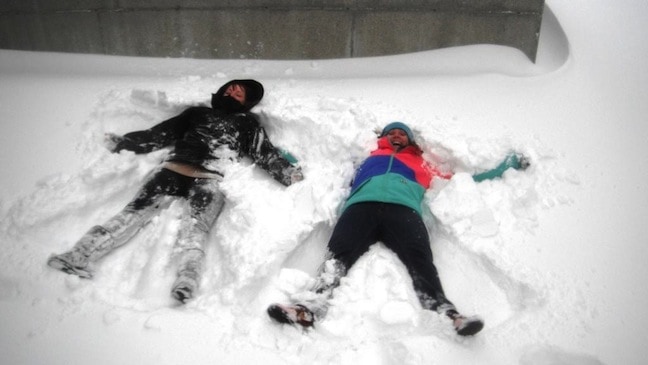
Making snow angels at the Remarkables 15 May, the resort received 15cm of snow. Image:: NZ Ski
Not a fantastic situation for snow. In terms of recent years, I’d say it looks most like 2008, which was still a pretty good year, and 2001, which was below average.
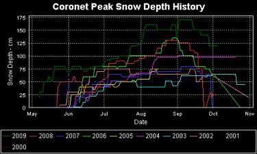
Whatever happens, the good news is that snowfall across the Alps tends to be fairly reliable, as the map below (courtesy of NZSki) indicates. So this winter, as with most years, expect the snow pack to increase rapidly in the last two weeks of June and peak around late August.
It’s always more a case of luck than good management whether you can time your ski holiday to line up with a few calm, sunny days. All the more reason to plan two ski holidays this winter.
For the latest, keep watching the snow cams and forecasts…
snow reports and
live snow cams.
Treble Cone forecasts,
snow reports and
live snow cams.
Snow Park forecasts,
snow reports and
live snow cams.
Cardrona forecasts,
snow reports and
live snow cams.
Turoa forecasts,
snow reports and
live snow cams.
Coronet Peak forecasts,
snow reports and
live snow cams.
Whakapapa forecasts,
snow reports and
live snow cams.
Mount Hutt forecasts,
snow reports and
live snow cams.


