New Zealand Forecast – A Stormy End To The Season
Published early Friday, 3rd October 2025
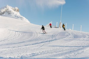
Well folks, we made it. This is the last forecast of the season. Cardrona and Mt Olympus close this Sunday, leaving The Remarkables and Mt Hutt to hold the fort down south until they also close next Sunday. Whakapapa and Turoa will remain open until the 26th of October. So make the most of it while you can.
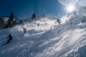
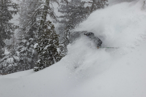
The riding continues to be exceptional in the Southern Lakes after the region scored a couple of 10-20cm powder dumps on Sunday and Tuesday night. Mt Hutt also received 5cm on Wednesday, while Mt Ruapehu had a dusting.
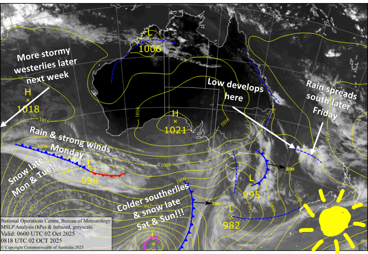
We’ll sneak in some nice weather for a great Friday session ahead of a Tasman Low crossing the country this weekend, bringing a mix of rain and snow. Colder southerlies arriving on the South Island late Saturday will give the Southern Lakes and Canterbury a top-up of dense snow through into Sunday.
Conditions deteriorate on Monday as strong, stormy westerlies once again arrive on Kiwi slopes, with fronts and gales expected to rattle ski fields throughout the week. However, the Southern Lakes in particular will pick up some nice shots of powder in the process.
Friday 3rd October
A mostly clear, sunny morning up in the mountains, with low cloud filling the valleys and plains. Cloud then builds ahead of a Tasman Low, which spreads rain southwards over Mt Ruapehu in the afternoon as westerlies swing north. After dark, the rain spreads over the South Island, falling as snow to mid-levels or lower in the Southern Lakes. South Island ski fields will also have light breezes from the northerly quarter.
Saturday 4th October
A bit of a soggy day as the Tasman low continues to cross the country, bringing periods of rain to the ski fields. However, dense snow will fall to around mid-levels for the Southern Lakes, where there’ll be a cooler southeast breeze. Winds will come from the northwest for Mt Ruapehu, and northeast for Canterbury.
In the evening, snow levels fall to base levels across the South Island as a colder southerly arrives. A little snow will also fall about mid- and upper-slopes of Mt Ruapehu before drying up overnight.
Sunday 5th October
Snowfall across the South Island clears the Southern Lakes in the afternoon and Canterbury at night as the low pulls away to the east, allowing chilly southerly winds to start easing. The winds will be strong in Canterbury throughout day, which might affect lift operations. This low is likely to deliver a top-up of between 5 and 20cm from base to summit. Overall, not a bad one for Closing Day at Cardrona.
Showers of rain and upper-level snow kick up over Mt Ruapehu in the afternoon, then clear at night shortly after northwesterlies turn southerly.
Monday 6th October
Not a bad start for the South Island, but conditions will quickly deteriorate as a front approaches from the west, likely affecting lift operations. Cloud increases and northwest winds rapidly strengthen, reaching severe-gale in exposed spots, before the front spreads rain northwards during the afternoon with heavy falls on the cards. A colder westerly change at night will see the rain transition to snow.
Mt Ruapehu will see a bit of cloud and a few light showers, falling as snow about mid- to upper-slopes, while westerly winds pick up.
Tuesday 7th October
Snow showers over the Southern Lakes taper off, then clear in the afternoon with sunny skies, as brisk, chilly southwesterlies gradually swing northwest. A few more snow showers will show up at night.
Mt Hutt will score a fresh dusting of snow, thanks to a brief southwest change. Other than that, skies will be mostly clear, but winds will start strong from the northwest which may delay things.
Mt Ruapehu will cop a load of heavy rain before opening as the front passes over. Showers of snow and low-level rain will continue throughout the day with strong westerly winds.
Extended Forecast
Strong, unsettled westerlies will persist through to the end of next week, marring the season’s final days for The Remarkables and Mt Hutt, where lift operations will likely be affected. Gales will be the norm, with peaks in wind strength coming ahead of a couple of passing frontal systems due around late Thursday/Friday and next weekend. Expect a bout of rain followed by snow with both systems as they bring a dip in temperatures.
That’s all from me for today and the season, folks. It’s been an absolute pleasure sharing all the highs and lows with you. I’m taking off to hibernate in the back country, but I’ll be back sometime in December when the northern hemisphere season starts cranking. See you then!
Grasshopper