Australian Forecast Friday June 18 – Possible Flurries Before A Clear Break
Mountainwatch | The Grasshopper
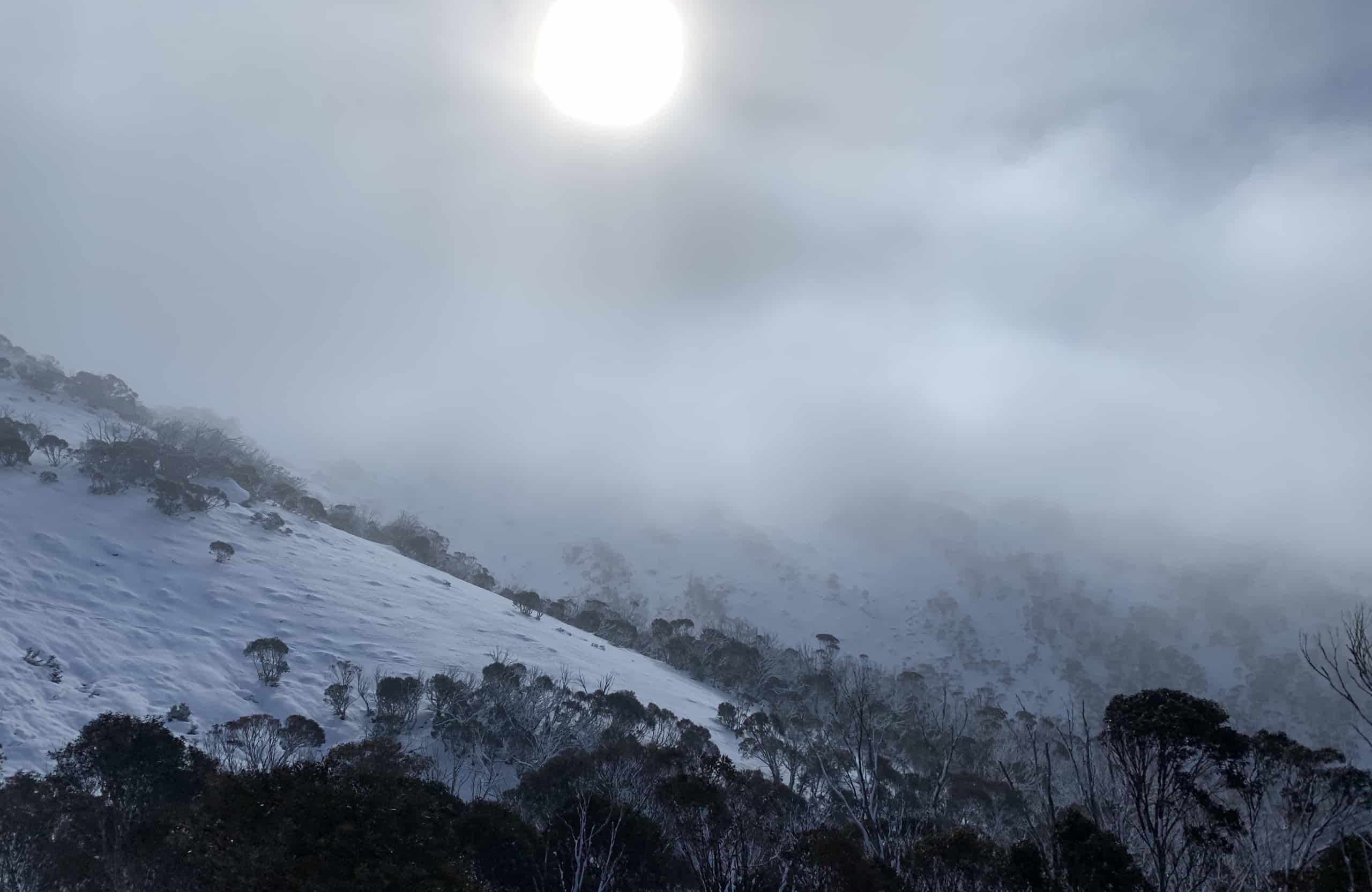
We’ve seen on and off snow showers this week with resorts picking up the biggest totals over Wednesday night through to Thursday morning with 5-7cms. Flurries are set to continue over the weekend until Sunday when a region of high pressures settles over the southeast of the country. This will promote colder temps especially at night, allowing the snow guns to come out and focus on opening some more new terrain.
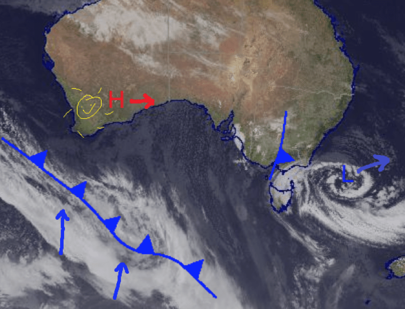
Flurries over the southeast Friday and Saturday, but the High pressure in WA moves over and takes control Sunday bringing a Sunny start to next week. Source: Bureau of Meteorology (vandalized by the Grasshopper
Friday June 18
Snow expected above 1300m in both NSW and Victoria but today should favour NSW. Totals may range from flurries in some Victorian resorts all the way up to a possible maximum of 15cm in NSW.
Saturday June 19
Small chance of flurries again in Victoria above 1500m and a better chance in NSW above also above 1500m with southern areas near the border expected to fare better. Modest totals on the order of 1-4cm.
Sunday June 20
The high pressure begins to set in and the flurries are moving on with a mostly sunny Sunday for Victoria and a small chance of isolated flurries in NSW around 1400m.
Extended Outlook
The theme of high pressure continues through the start of next week which will see snow guns firing. Overall should be a fun weekend especially for those Victorians heading up for the first time. We may see some more snow showers at the end of next week, but I’ll let you know how that is tracking on Monday.


