Australian Forecast, Monday August 21st – A Deluge Of Rain On Tuesday, Before A Cold Front Leaves Us With 5-15cm Up High And A Dusting Down Low
Mountainwatch | The Grasshopper
Written early Monday 21st August, valid to Wednesday 23rd August
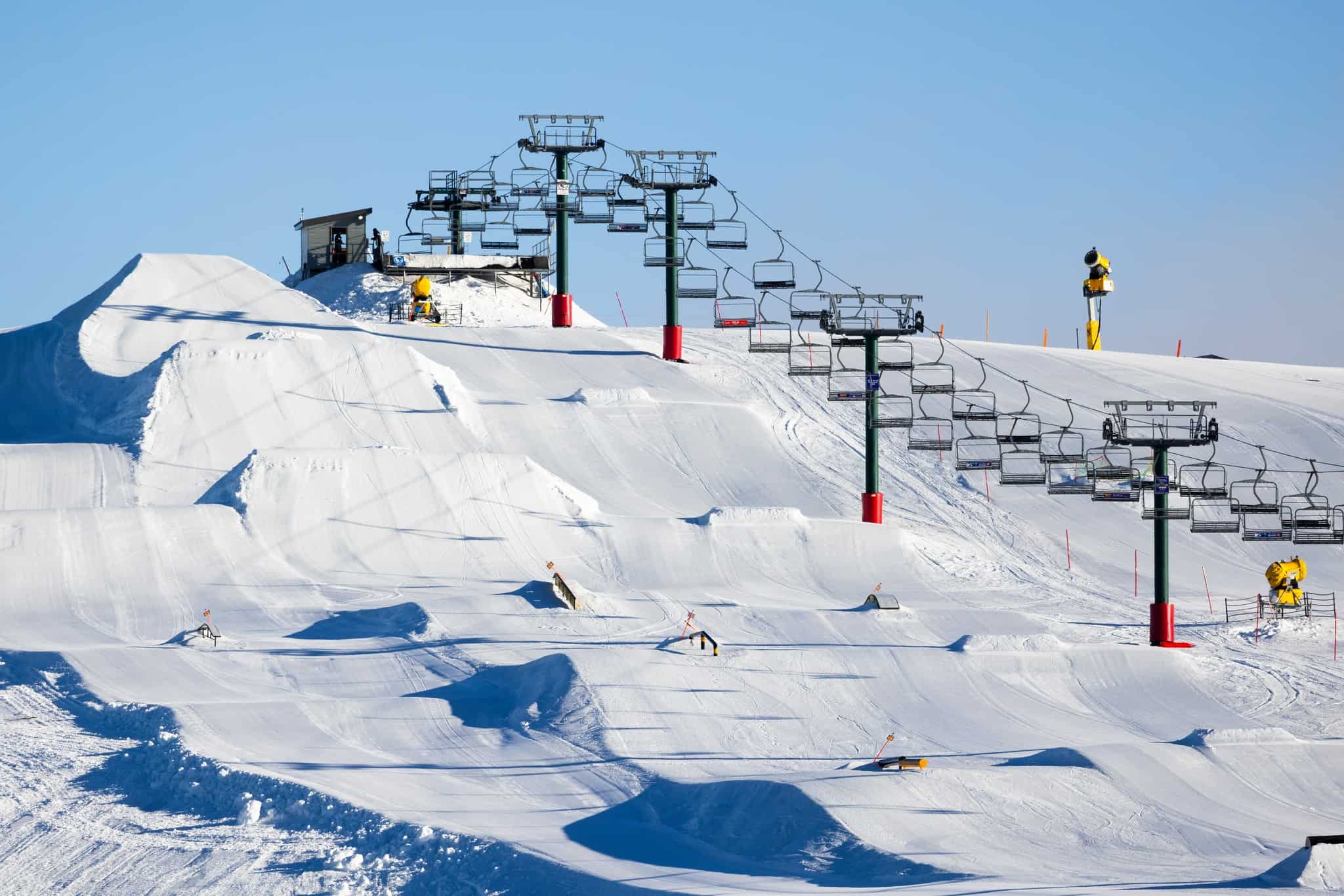
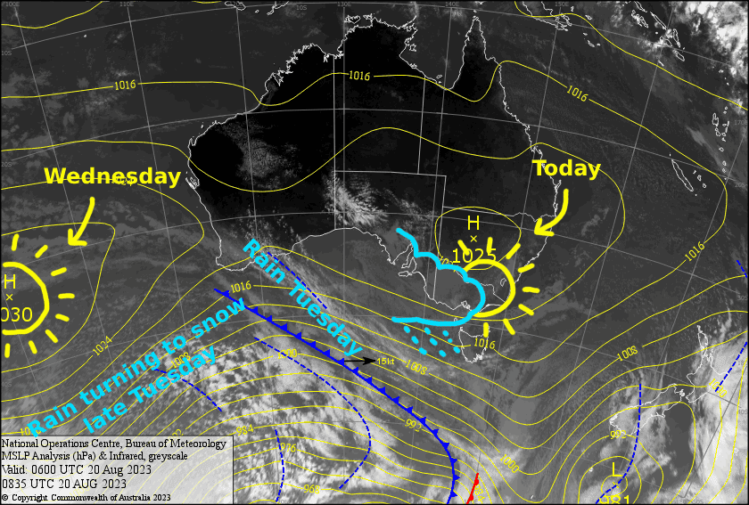
It’s a case of one step forward and two steps back in a season that we’ve really struggled to find our feet. That nice top-up of snow we had on Friday will be undone as light drizzle over Victoria today turns to heavier, widespread rain for Tuesday.
NW winds will also reach severe-gale force, but a cold front will bring a colder SW change through the latter half of the day and lowering snow levels. Come Wednesday, we should be left with a dusting of snow on the lower slopes and about 5-15cm on mid-upper slopes, while sunny skies lay ahead as high pressure builds.
Monday 21st
Clouds build over Victoria this morning before periods of light rain and drizzle kick off around midday. After a fine morning in NSW, cloud will build during the afternoon, but the rain will hold off until night. Westerly winds will be quite strong in exposed areas and gradually turn NW.
Tuesday 22nd
Uh oh, rain! There’ll be some pretty heavy falls too, especially from late morning through the afternoon with thunderstorms thrown into the mix, while gale-severe gale NW winds change to a lighter SW.
The wind change will bring cooler temps and snow levels will drop during the afternoon after mostly sitting above 1800m. However, by the time snow levels reach the lower slopes, precipitation will be on its way out and we’ll just see a dusting down low before snow clears at night. The mid-upper slopes could see somewhere around 5-15cm.
Wednesday 23rd
Chilly overnight temps should have the snow guns setting us up nicely on a mostly fine day. There’ll be some afternoon cloud over Victoria, which will mostly affect Baw Baw & Buller. W-SW winds gradually easing.
Extended Forecast
High pressure will keep skies mostly fine Thursday and Friday, however W-NW winds will pick up for a time as a frontal system moves eastwards just underneath Australia.
The tail of the front will bring a cold southerly change late Saturday, along with a dusting of snow, which Baw Baw should make the most of, while neighbouring Buller will be lucky to see a singular snowflake. Cold southeasterlies and a few snow showers may persist through Sunday, depending on whether a low spins up in the Tasman Sea or not.
That’s all from me today, folks. See you again Wednesday.
Grasshopper


