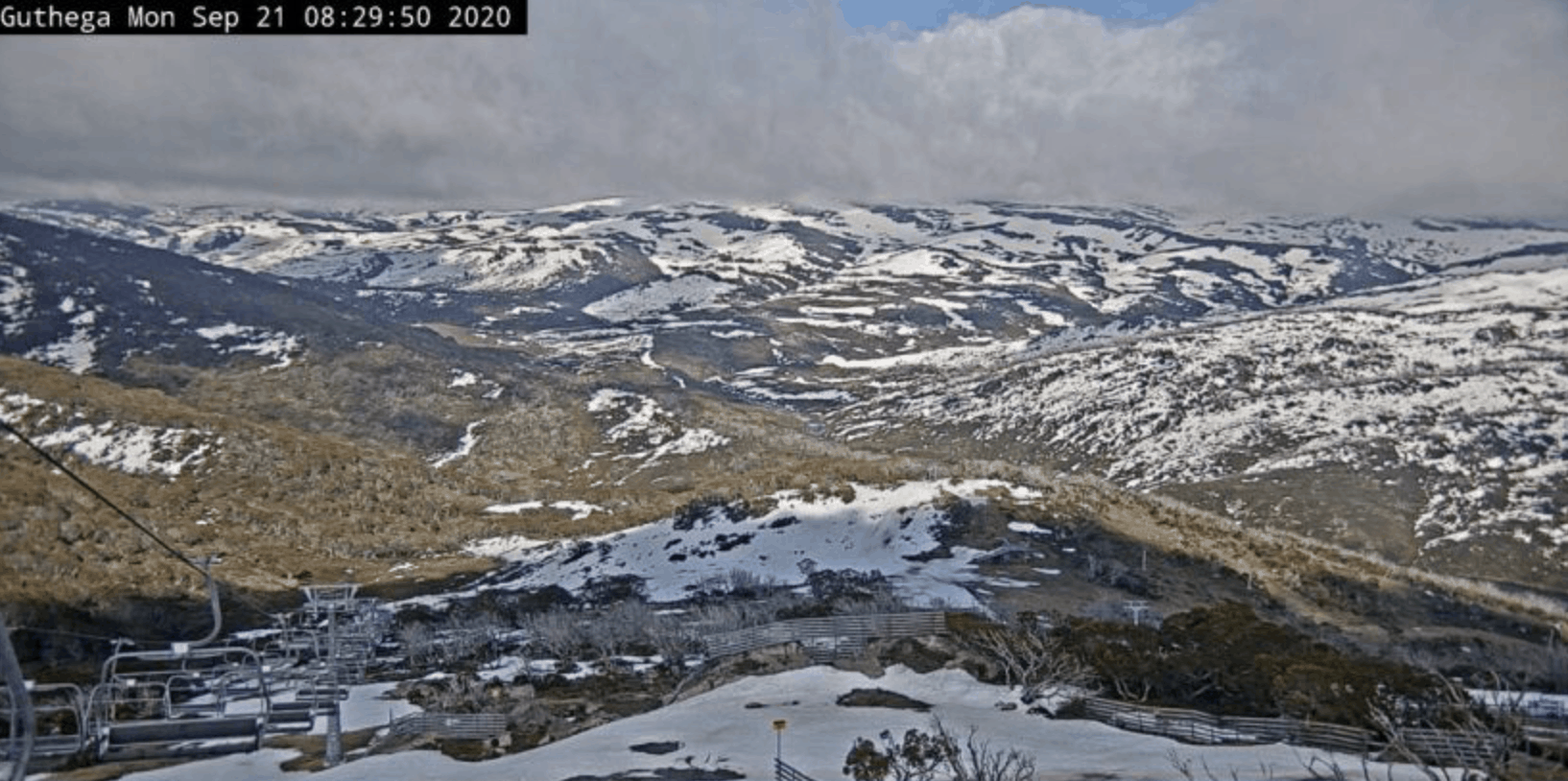
Australian Forecast Monday, September 21 – Don’t Hang Up Those Skis Just Yet, Snow Is On The Way!
Mountainwatch | The Grasshopper
Valid Monday 21stSeptember – Thursday September 24th
After another week of intense snowmelt, Thredbo has unfortunately had to shut up shop for the season. It’s especially unfortunate that they have had to do so on the eve of a cold, snowy week ahead.
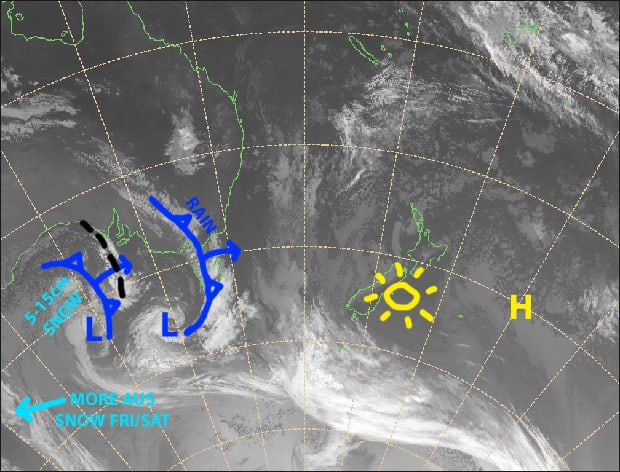
After a wet and thunderous front passes over today, colder air will see mostly light snowfalls up top during Tuesday, then down to 1500-1600m during Wednesday, with flurries to even lower levels during Thursday. All of this will amount to roughly 5-15cm of new snow.
But all eyes are focused on what is taking shape later this week, with a decent snowstorm likely this Friday and Saturday. Although only Perisher and Charlotte Pass is open now, this will see the season go out with a pop rather than a flop.
Monday 21st
It’s a fine start to the day, but it’s going to get gnarly! Rain will develop over Victoria this morning, then NSW this afternoon with heavy falls and thunderstorms likely. Strong NW winds rising to gale in exposed places.
Tuesday 22nd
A bit of a grotty one with rain and drizzle developing during the morning, but it’ll fall as snow above 1800m. Strong NW winds will blow a gale in exposed areas.
Wednesday 23rd
Light snowfalls down to 1500-1600m throughout the day, falling as rain or drizzle below that. Strong NW winds, turning to a lighter westerly during the afternoon.
Thursday 24th
Light snow showers and flurries straggling on through the day. Chilly westerly winds turning NW.
Extended Outlook
Well, well, well, what do we have here… a late season snowstorm! This season is getting stranger by the day. Models have lined up nicely for a cold front & low combo to dump a whole lot of snow this Friday and Saturday – early estimates are up around the 30-40cm mark.
After a brief spell of high pressure, we’re likely to end the month with some unsettled, wet weather through into first few days of October. However, one or two snowfalls are on the cards during the following week or so. So, don’t hang up those skis just yet!
That’s all from me, have a great day


