Australian Forecast, Monday September 9th – Another Short Pause to the Fastest-Meltdown-Ever Late Wednesday through Thursday

Mountainwatch | The Grasshopper
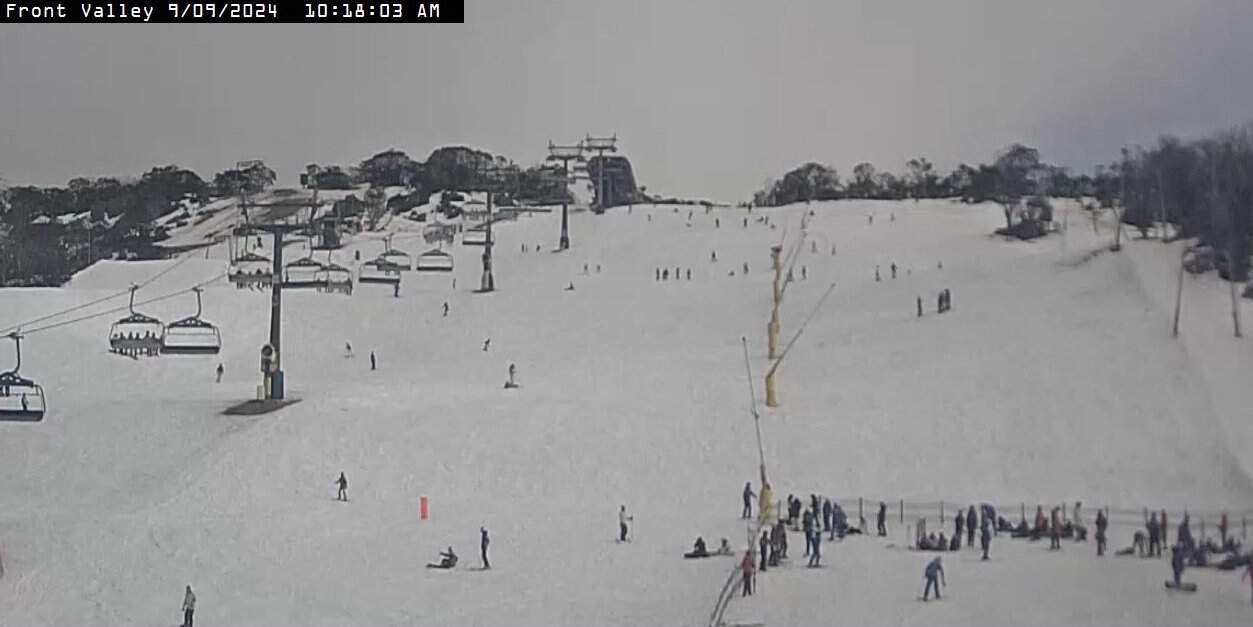
It turned colder over the weekend, and there was a skiff of snow about the tops, putting only a short, temporary pause on one of the fastest meltdowns in history. Only Falls Creek, Thredbo, Charlotte Pass and Perisher remain open on minimal terrain.
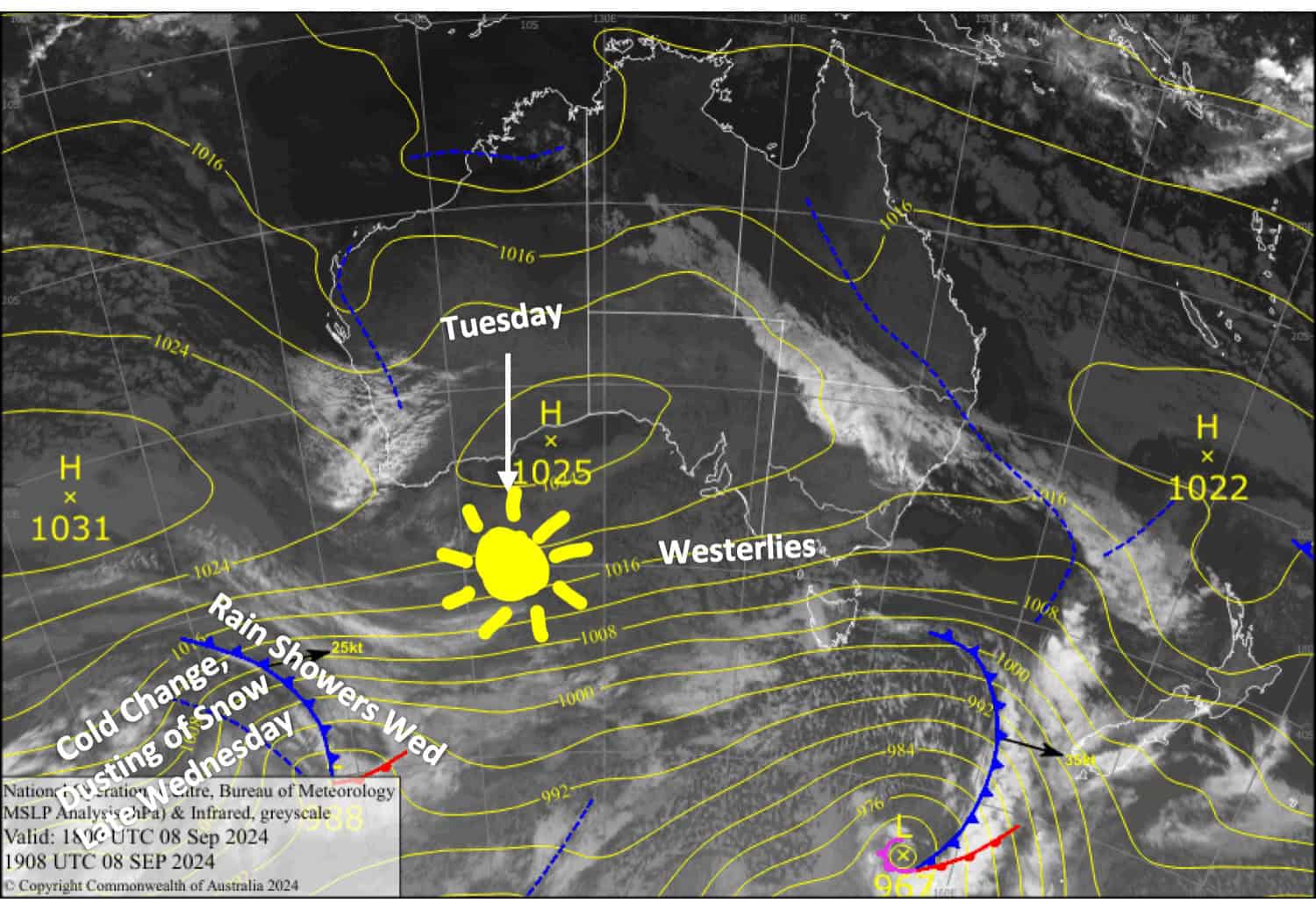
Warm temperatures will continue the meltdown over the next few days. However, a cold change will bring another short pause to it late Wednesday through Thursday, along with another light dusting of snow on the upper slopes.

Monday September 9th
Strong westerly winds are pushing cloud and drizzle into the Aussie Alps, but the open resorts are sheltered from the worst of it and it’ll brighten up a bit in the afternoon as clouds lift and winds back off and turn northwest.
Tuesday September 10th
Nice n’ sunny as westerly breezes clock around to the northwest.
Wednesday September 11th
A fine start, but showers spread over Victoria in the morning and New South Wales in the afternoon. Brisk northwest winds.
After dark, a little snow will fall about the upper slopes before clearing as winds change Southwest.
Thursday September 12th
Cloudy in Victoria with showers in the west. A partly cloudy day for New South Wales. Strong southwest winds gradually abate.
Extended Forecast
Skies will eventually clear on Friday as the southwesterly winds continue to ease. On Saturday, a strong, cold southerly change will bring a dusting of snow. The winds will persist through Sunday and may bring a few more light snow showers, before easing on Monday as a ridge of high pressure pushes onto the Aussie Alps.
That’s all from me today, folks. The next forecast is Wednesday. See you then, and have a great couple of days.
Grasshopper


