Australian Forecast Thursday August 27th – Sun, Snow, Rain, And Wind – We’ll See It All In True Spring Fashion
Mountainwatch | The Grassshopper
Valid Thursday 27thAugust – Monday 31stAugust
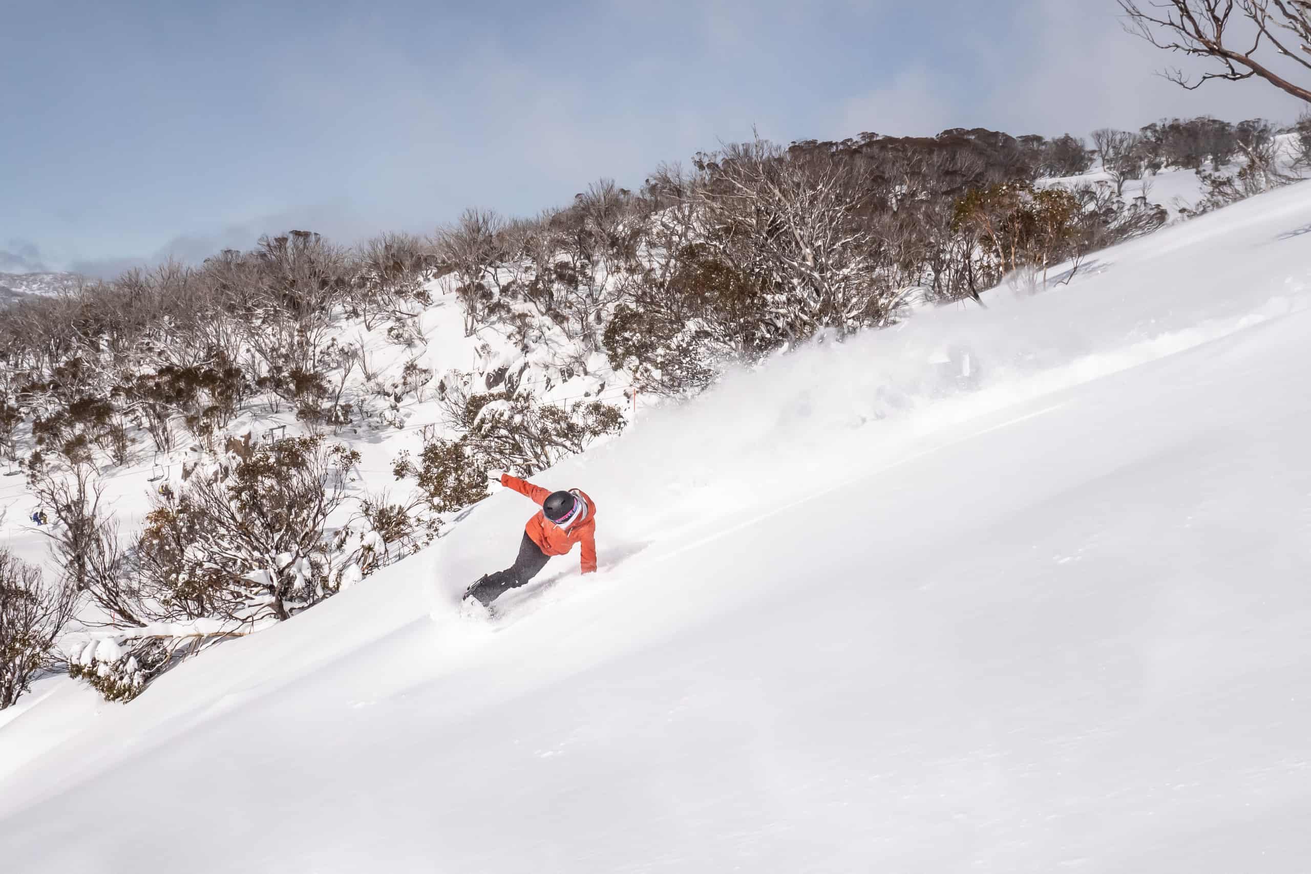
After the best week of the season, and in typical spring-like fashion, the next several days will see all of the elements thrown at the Aussie Alps, including sunshine, snow, rain, wind, and wild temperatures fluctuations.
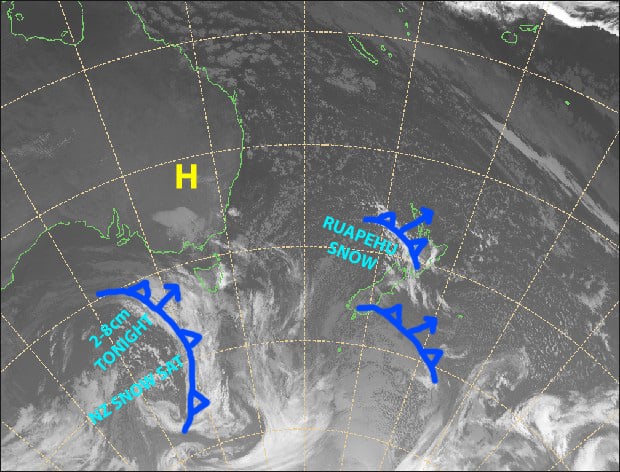
A couple of cold fronts will bring a dusting of snow tonight and a lighter dusting Sunday night. However, these will be preceded by horrendously strong, warm NW winds, as well as some rain, which will chew up a little of our currently luscious snow cover. There will also be a couple of nice windows for some fair-weather runs, particularly on Saturday and later Monday, so pencil that into your schedules.
Thursday 27th
Cloud increases today as W-NW winds go absolutely bananas, reaching storm force in exposed areas from afternoon.
Then a dusting of snow after dark as the cold front goes through. We’re looking at somewhere between 2-8cm.
Friday 28th
A little morning cloud, otherwise sunny. Strong, cold SW winds, gradually abating and warming.
Saturday 29th
Clear blue, sunny skies and balmy W-NW winds, which will be stronger on the Victorian side.
Sunday 30th
Mostly fine with a little high cloud, while NW winds go bonkers again, possibly reaching storm force in exposed areas. Then from afternoon or evening, rain spreads east, gradually turning to snow as temps drop. Only 1-2cm expected.
Monday 31st
Cloud clearing to a fine day as brisk SW winds ease. However cloud and the odd light flurry may linger over western slopes of Victoria.
Extended Outlook
We barely enter spring when the next storm takes hold. Warm NW winds will once again reach hare-brained speeds on Wednesday. Fortunately temps will start to cool from next Thursday with snow about the tops, lowering to base levels next Friday as a cold front goes through. Snow may continue into next weekend, but models differ on this point, as do they regarding snowfall amounts – we may see anywhere from a light dusting to a full-on snowstorm.
After that, models suggest the middle of the month is worth keeping an eye on for the next decent snowfall.
That’s all from me, get out there and enjoy.


