Australian Forecast Thursday September 3rd – A Little Snow Up High Amongst All The Wind, Rain And Sunshine
Mountainwatch | The Grasshopper
Valid Thursday 3rdSeptember – Monday 7thSeptember
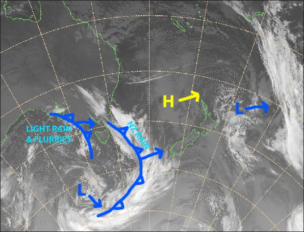
The tip of a couple of cold fronts will brush the Aussie Alps later today and early Saturday, bringing a mix of light rain or drizzle, and snow above 1600-1700m, most of which will fall on the Victorian side. The bulk of the cold air is just too far south for these features to give us anything meaningful, leaving us in a strong W-NW flow.
High pressure will move in later Saturday and give us a blue bird pearler on Sunday, before warm, hair dryer northerlies wreck havoc on our snowpack during Monday as the next weak cold front approaches from the west.
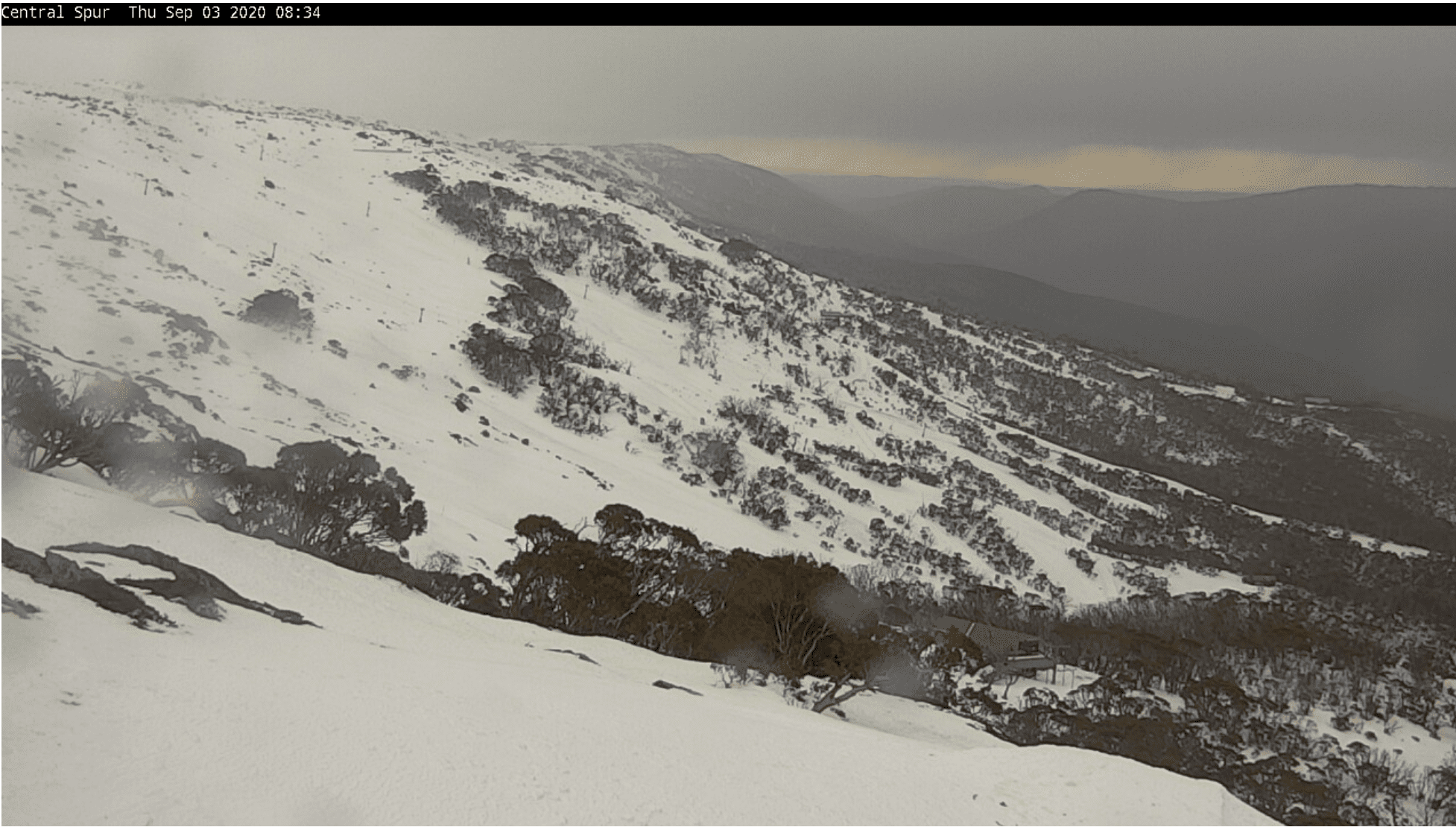
Thursday 3rd
Strong-gale NW winds are the flavour of the day, eww yuk! On top of that we’ll have some light rain or drizzle, which will briefly turning to snow about the tops this evening before clearing.
Friday 4th
A fine start, then cloud will increase. We might see light flurries above 1600m in Victoria from late afternoon, falling as drizzle below that. W-NW winds, strong to start with.
Saturday 5th
About 2-5cm of snow falling in Victoria above 1600-1700m during the morning, and only a light sprinkle of snow and drizzle in NSW. Increasing blue sky during the afternoon as brisk westerly winds ease.
Sunday 6th
Nice and sunny with a light northerly zephyr.
Monday 7th
Sunshine and strengthening warm, hairdryer N-NW winds, giving us soft and slushy spring conditions.
Extended Outlook
The hair dryer will go turbo mode on Tuesday before the next weak cold front brushes the Aussie Alps late in the day. Unfortunately, this front is likely to bring only a spot of wet stuff without the accompanying snow.
High pressure will bring fine weather Wednesday through next Friday, and then the next weak weather system is likely to pass us by next weekend with little or no snow expected.
We’re still eyeing up a couple of potential windows for snowfall between the 15thand 24thof September. It’s a fairly big, vague window at this stage, but models have continuously jumped around with a couple of systems coming out of the south during this period, so it’s worth crossing our fingers for.
That’s all from me, get out there and enjoy.


