Australian Weekend Forecast, August 11th – Stuck In No Man’s Land, With Plenty Of Sunshine Either Side Of Snow Showers Saturday
Mountainwatch | The Grasshopper
Written early Friday 11thAugust, valid to Sunday 13thAugust
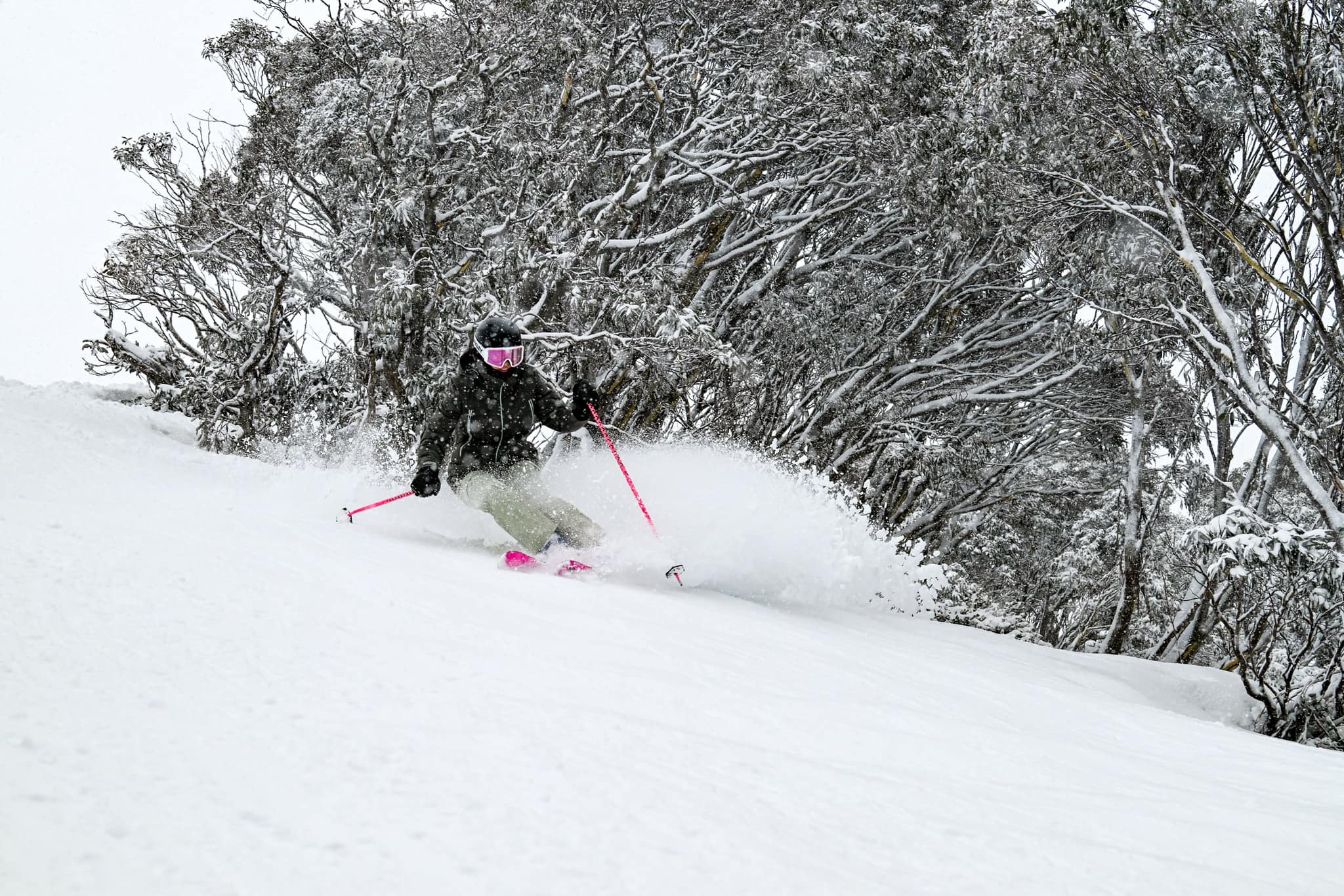
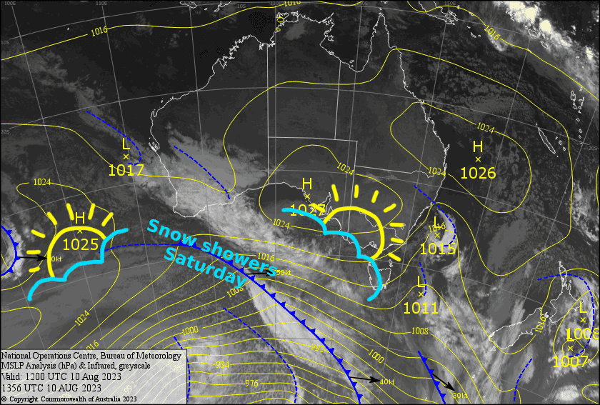
After 5-10cms of snow yesterday, we’re now sitting in no man’s land between high pressure to the north and low pressure to the south. Saturday will bring snow showers that’ll mostly benefit mid-upper slopes as a non-committal cold front stands us up by ducking out the back door. A more committed high pressure will clear things up for a nice day Sunday.
Friday 11th
The day will start out mostly fine with a W-SW breeze. Cloud will then push in from the west over Victoria during the morning as winds swing to the NW, with light snow flurries showing up on Buller for a time, likely falling as drizzle on the lower slopes. The cloud will also push over NSW during the afternoon.
Saturday 12th
A cloudy ol’ day, with snow showers developing over Victoria early morning, then spreading to NSW in the afternoon. Snow levels will start around 1400m, but lift to 1500m+ so it’ll turn wet on the lower slopes at some point. Westerly winds.
Sunday 13th
A mostly fine day, but Baw Baw will stay fairly cloudy and should see a few light flurries. Light SW breezes dies away.
Extended Forecast
A low passing by to the north during Monday is likely to bring a mix of rain and snow, which the mid-upper slopes of NSW is likely to benefit the most from.
A cold front is then likely to hit Thursday. Early forecasts indicate temps will be legitimately cold enough for legitimate snow, perhaps something like 5-15cm of it. A weaker system may bring further snow showers through next Friday and Saturday along with plenty of snow making.
That’s all from me today, folks. See you again Monday.


