Australian Weekend Forecast, Friday June 14th – Snow Guns Shine as Temps Remain Cold, Plus a little Snow Friday Night
Mountainwatch | The Grasshopper
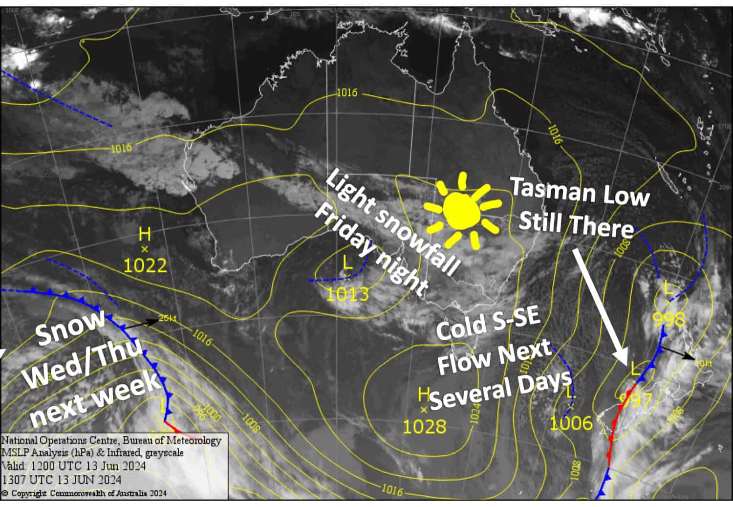
Published early Friday 14th June 2024
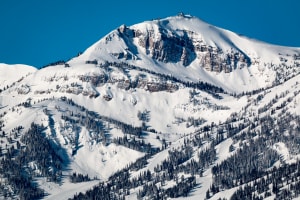
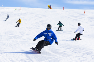
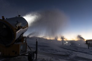
The front that came through Tuesday and Wednesday delivered the goods, with 25+ cm falling above 1800m in NSW and lesser amounts below that. On top of that, resorts have had a good run making snow as temperatures have remained nice and cold.
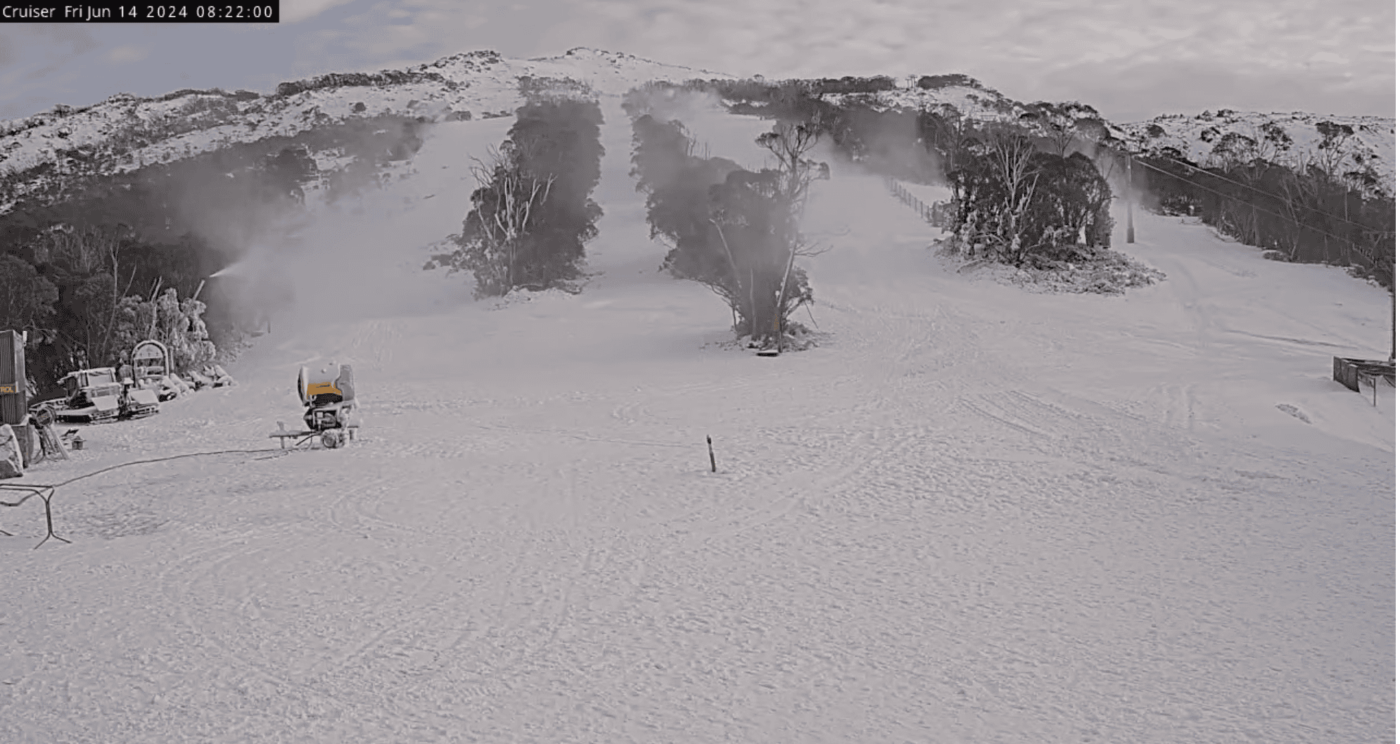
Little will change over the next several days, as that low-pressure system in the Tasman Sea keeps on keeping on, sending a cold S-SE flow over the Aussie Alps. This will push in low-level cloud which will clag up lower slopes and reduce the visibility at times, predominantly at the start and end of each day. A little bit of snow will also sneak in Friday night, which will only be a skiff in Victoria, but could add up to about 6cm in NSW.
Friday June 14th
A partly cloudy, partly sunny day with light E-NE breezes. Low cloud may reduce the visibility on some lower slopes this morning, especially at Baw Baw where there could be light flurries from the afternoon.
Light snowfall tonight, with 3-6cm possible for NSW resorts, and 1-2 or less for Vic resorts, although Mt Buller will miss out.
Saturday June 15th
Any remaining light snowfall will clear early, except at Baw Baw where they’ll last into the afternoon. Chilly SE winds pushing low-level cloud into the Aussie Alps may reduce the visibility at times.
Sunday June 16th
Morning cloud clears to a mostly fine day with cold southerly winds.
Monday June 17th
Mostly fine again, but chilly southerly winds pushing low-level cloud into the Aussie Alps may reduce the visibility at the start and end of the day.
Extended Forecast
The cold southerlies are likely to come to an end Wednesday June 19th, before a low-pressure system from the west delivers snow late that day, lasting into the next day, Thursday June 20th, with snow showers also possible on Friday June 21st. At this stage, snowfall amounts range from a dusting to a decent top-up, which would do us very nicely.
After that, cold south-to-west west winds may redevelop for a few more days, giving us one of the longest stretches of snowmaking potential that I can ever remember.
That’s all from me today folks. The next forecast is Monday, see you then.
Grasshopper