Australian Weekend Forecast, Friday, Sept 20th – A Little More Snow Next Few Days as Cool, Showery Westerlies Continue

Mountainwatch | The Grasshopper
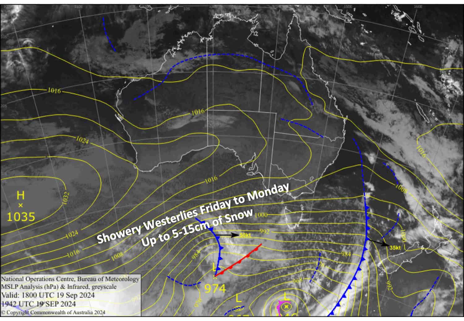
Showery westerlies will continue in the Aussie Alps for the next four days. We’ll see light snowfall to low levels each night and early morning before warmer daytime temperatures lift snow levels to around 1700m or higher.
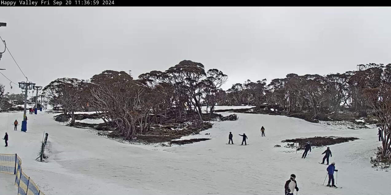
Victoria has already had a dusting of snow this Friday morning, making everything much whiter there than we’ve seen in a long time. New South Wales received a light dusting up high on Thursday and are still awaiting the showers that will turn up this Friday afternoon.
All up, we could see a further 5-15cm accumulate about the upper slopes and a skiff of snow lower down before temperatures become too warm during the latter half of Sunday through Monday.

Friday September 20th
Light snow showers spread over Victoria in the morning and New South Wales in the afternoon, but it’ll turn wet about the lower slopes again as snow levels gradually lift to around 1700m. Brisk west to northwest winds.
Saturday September 21st
Showers continue throughout the day, falling as snow to low levels at first but lifting to about 1700m later in the morning. Stiff west-to-northwest winds will be strong in exposed areas.
Sunday September 22nd
Another mucky day as brisk, showery west-to-northwest winds persist. Snow falling to about 1600-1700m at first, but it’ll gradually turn wet during the day as temperatures warm.
Monday September 23rd
A cloudy day for Victoria with more showers or rain, while New South Wales will be partially cloudy. Strong northwest winds gradually ease.
Extended Forecast
It’ll be dry on Tuesday as warm northwest winds strengthen ahead of a front approaching from the west. The front will likely bring heavy rain on Wednesday, followed by a light or moderate top-up of snow late Wednesday or Thursday as a cold southerly change hits. Overall, this front may do more harm than good to the snowpack. Temperatures will likely warm up again heading into next weekend.
That’s all from me today, folks. The next forecast is Monday. See you then, and have a great weekend.
Grasshopper


