Australian Weekend Forecast, Friday, September 6th – Saturday Brings Respite, Cooler on Sunday & Monday with a Little Snow up Top

Mountainwatch | The Grasshopper
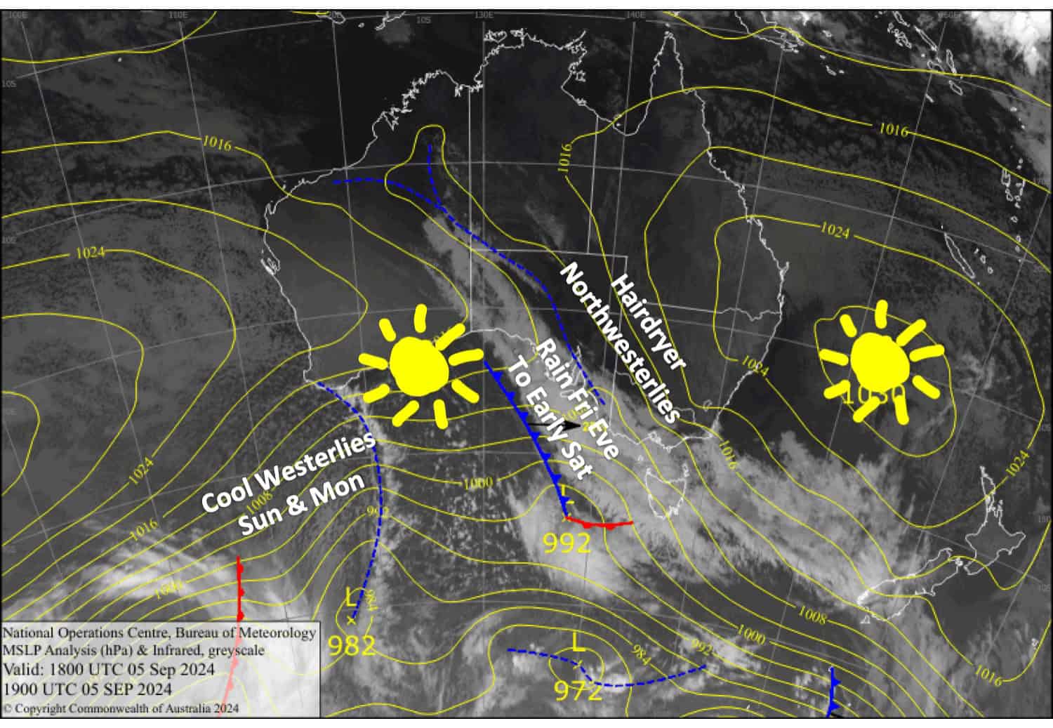
Boy, was it a warm and windy night last night (Thursday night). Thredbo Top Station recorded wind gusts of 124 km/h, and temperatures got up to around 7°C. Winds will stay strong and warm today (Friday) but will ease behind a rain band that crosses the Aussie Alps tonight, bringing calm, respiteful conditions for Saturday.
Brisk cool winds from the west will bring murkier conditions during Sunday and Monday, but showers will likely fall as snow about the tops where several centimetres could accumulate.
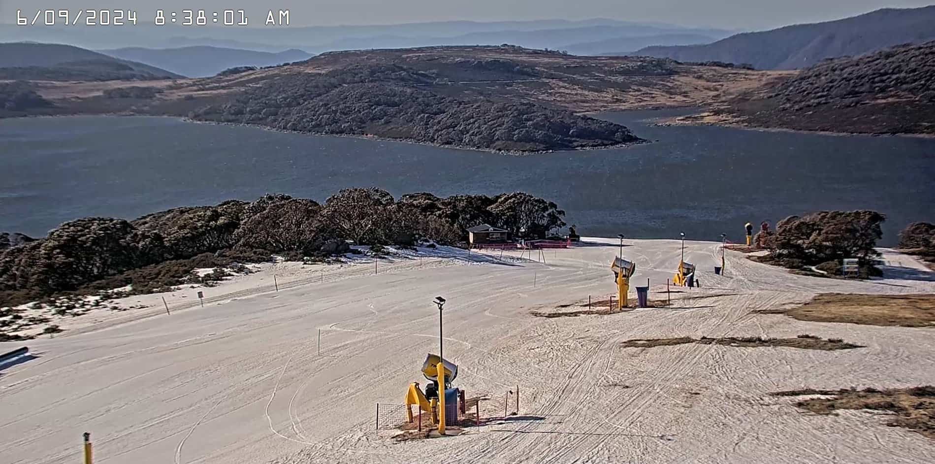
Only Falls Creek, Thredbo, Perisher and Charlotte Pass remain open on a limited cover of snow. It’s been a tough season; the last few weeks in particular have been rough, but make the most of what’s there as it’s quickly disappearing, and there isn’t any major snowfall on the horizon.

Friday September 6th
Sunny with warm, dry northwesterlies reaching severe gale in exposed areas, likely affecting lift operations. Clouds build in the afternoon, ahead of rain spreading eastwards in the evening.
Saturday September 7th
Rain clears from the west early morning while northwest winds ease to a light westerly, leaving sunny, calm conditions for the rest of the day.
Sunday September 8th
A mostly cloudy day with showers, possibly falling as snow about the tops. Brisk northwest winds.
Monday September 9th
Another grey showery day with snow falling up top again and brisk westerly winds.
Extended Forecast
Skies will clear and warm up on Tuesday as light winds turn northwest. It should remain that way through Wednesday. A rogue low may pass north of the Aussie Alps on Thursday and draw in winds from the south through the back half of next week, bringing showers of rain and possibly a little snow too.
That’s all from me today, folks. The next forecast is Monday. See you then, and have a great Weekend.
Grasshopper


