Australian Weekend Forecast, July 28th – Un-Appetising Northwesters Serving Up Some Slop Today
Mountainwatch | The Grasshopper
Written Friday 28thJuly, valid Sunday 30thJuly
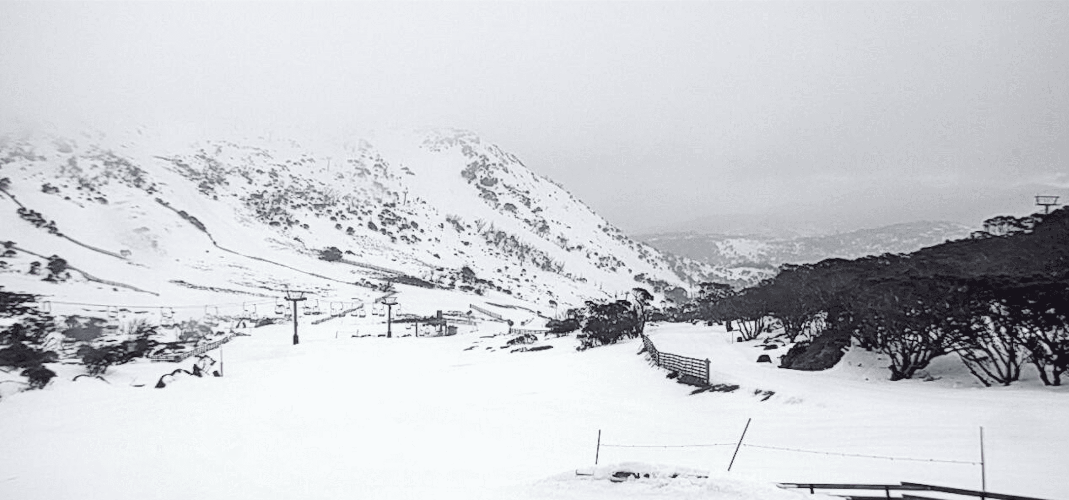
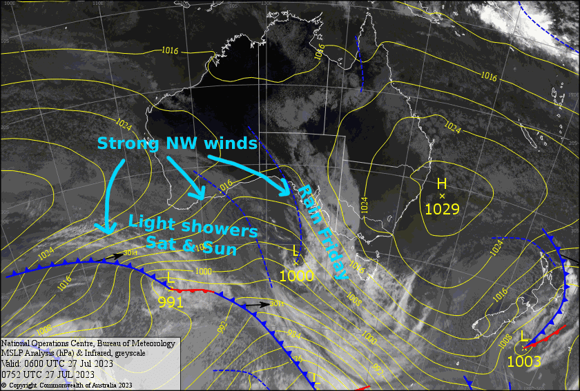
The run of amazing weather is over my friends. The skies have darkened and we’re in for a rough day as a front passes overhead. NW winds will be on turbo-mode and we’ll cop a load of rain, with snow only falling up high.
We’ll be stuck in this strong NW flow throughout the weekend, with sunshine, cloud and showers all mashed up into a fairly bland, tasteless mix. Only the upper slopes will see a sprinkling of icing sugar if you can stretch your appetite that far.
Friday 28th
A rough day ahead as rain spreads eastwards over the Aussie Alps early this morning. There’ll be fairly heavy falls, then it’ll ease throughout the latter half of the day as severe-gale NW winds turn to a more westerly direction, but will remain strong. About 10-20mm of rain is expected, which will fall as snow above 1700m.
Saturday 29th
Strong NW winds will continue to blow in cloud and showers throughout the day, more so on the Victorian side, although Mt Baw Baw will see less than the rest. There’ll also be a bit of sunshine thrown into the mix too. The showers will fall as snow above 1800m.
Sunday 30th
A similar day to Saturday, except winds will be blowing a gale, possibly severe gale in exposed areas. Expect a little sunshine, cloud, and the odd shower, especially on the Victorian side which will fall as snow above 1700m.
Extended Forecast
NW winds will continue to blow is guts out Monday, however showers will turn to snow as colder air arrives. A cold front brushing the Aussie Alps Monday night/early Tuesday will bring an end to the strong NW flow as high pressure settles things down for a couple of fine days Tuesday and Wednesday.
NW winds look to go turbo again Thursday before an active cold front hits late Friday or early Saturday, bringing what could be a nice n’ tidy top-up.
That’s all from me today, folks. See you again Monday.


