Grasshopper’s Australian Forecast, Sunday July 7 – Transition Period As We Approach a Snowy Outlook
Mountainwatch | The Grasshopper
Sunday, July 7
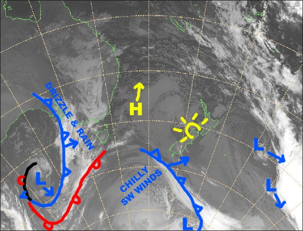
Synoptic Outlook
A soggy front approaching from the west will spread rain and drizzle over the Aussie Alp later today. The wet stuff will continue to fall tomorrow, but it will turn to snow about the tops as it eases. Brisk, chilly westerlies on Tuesday will blow in a couple of snowflakes, which will build into a tiny, little more substantial falls during Wednesday, as a cold front approaches from the west and NW winds start ruffling more than just feathers.
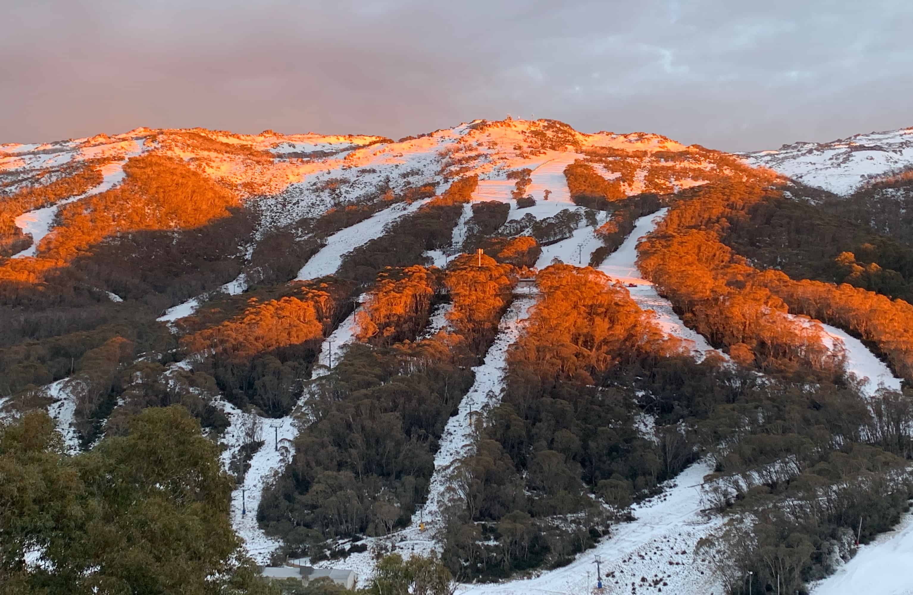
Image of The Day
Sunday 7 July
Northerly winds are pushing in a fair amount of cloud, which will thicken before drizzly, rainy stuff spreads over the Aussie Alps from late this afternoon.
Monday 8 July
Wake up to a drizzly, rainy day and hit the snooze button. It’ll fall as snow about the tops and start clearing from afternoon. NW winds will gradually swing around to the west.
Tuesday 9 July
A fairly cloudy day, with a couple of snowflakes falling here and there, and a brisk, chilly westerly wind.
Wednesday 10 July
Mostly cloudy again with a few light snow flurries. Chilly NW winds strengthening, reaching gale in exposed places.
Extended Outlook
The cold front is likely to be the start of the storm we’ve been waiting for (storm name pending). The front should hit during Thursday, with heavy snowfalls on the cards, followed up another wave of cold air late Friday and early Saturday, with more moderate looking snowfalls. Lighter snowfalls and cold temps should continue through next Sunday and into Monday. Accumulations could be substantial for this event, maybe up to half a metre or more in some areas.
That’s all from the Grasshopper. Wanna keep your finger on the pulse of all things snow? Join my weekly email list by filling in the box on my forecast page. If you have a question or feedback for me, hit me up on facebook.