Grasshopper’s Weekly Japan Snow Forecast, January 20 – After a Sunny Break, More Snow On the way
Mountainwatch | The Grasshopper
Valid January 19 – January 26
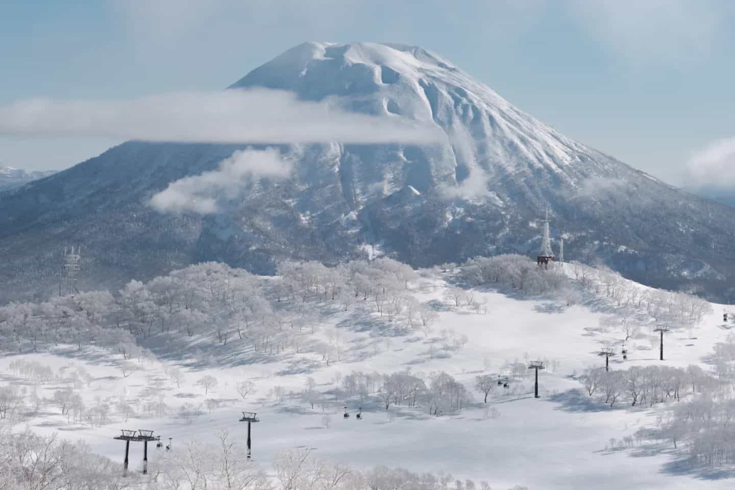
A week of huge snowfalls around Japan with some massive powder days thanks to multiple dumps. 76cm has been reported over the last seven days in Niseko, but the big falls came down in Honshu with 94cm reported in Hakuba, 140cm in Nozawa Onsen and a whopping 227cm in Myoko. This has really bumped up bases in Honshu and made all of us who are unable to get over to Japan very jealous of those who can.
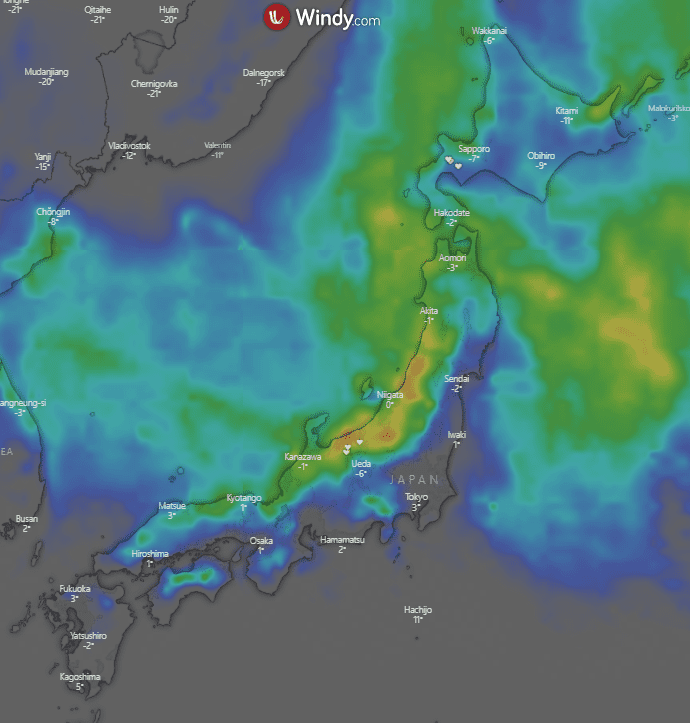
This week it’s once again more of a similar story with a little more snow on the way. Again, we see Honshu in the firing line and Hokkaido not quite copping the same treatment with not many snow days expected. Maximum totals over this week look to be around 90cm in Honshu shown in this week’s heatmap below.
Forecast
Thursday Jan 20 – Friday Jan 21
A relatively calm day today for Hokkaido with cloud increasing and some snow later in the evening. Totals should be small. For Honshu things are a bit different with Thursday expected to be the day of the week. Northwesterly winds should increase through the day with snow following suit. Totals around 25-40+cm.
The snow continues in Honshu on Friday for what should be a nice powder day around resorts. Snow shouldn’t be as heavy, but totals should still be on the order of 10-25cm. Hokkaido sees strengthened northerlies with some snow, but once again should not amount to much.
Saturday, January 22 – Sunday, January 23
Some light flurries in the morning for Hokkaido clearing into a partly cloudy day. For Honshu it clears up for a fine day as the winds die down. Fresh snow over the last two days should make for a great bluebird powder day.
On Sunday it will be cloudy day up north around Hokkaido with some flurries throughout the day, shouldn’t amount to much in total. For Honshu initially southwesterly winds strengthening a little and turn northwesterly in the afternoon, bringing some snow through the evening. Totals vary, but around 5-15cm.
Monday January 24 – Wednesday, January 26:
Some light flurries through the morning around Hokkaido resorts in a mostly cloudy day. Early snow in Honshu not too heavy should clear for some sun before some cloud in the afternoon and evening.
Tuesday will be cloudyaround central Honshu with some snow developing for the afternoon through the evening. Totals around 2-10cm. For Hokkaido cloudy with not much wind around. Relatively warm through the day.
Similar story on Wednesday for Honshu with precipitation developing for the afternoon and evening. Due to temps being a little warm there is a chance some areas see rain, but it should turn to snow through the evening. Totals around 4-12cm. Up in Hokkaido it will be cloudy early, which should clear slightly for the sun through the day.
Extended Forecast
So unfortunately, it’s not a total repeat of last week for Honshu coming up but there are still a few good snow days to be had. The forecast isn’t as friendly for areas of Hokkaido with a run of calm relaxed conditions and no precipitation. The best days of the week for Honshu look to be Thursday, Friday and Sunday. With more Japow on the way plus the fresh stuff that has fallen in the past week if you are one of the lucky ones in Honshu this season it is a great time to be out and about on the slopes.
Looking further ahead there does look to be some snow over the next coming weekend. Right now, it doesn’t look to be massive, but I’ll wait and see how it develops and report back on that next week. Until then take care and score some of the fresh stuff if you are able to.
Take care and see you next Thursday


