Grasshopper’s Weekly North America Forecast, Feb 14th – Powerful Storm Targets California and U.S. Rockies, Top-Up for Canada in Weaker Storm that Follows

Mountainwatch | The Grasshopper
Written Wednesday afternoon, 12th February (Pacific Standard Time)
There’s a fair bit of activity heading for North America, especially in some regions of the US where the Pacific Northwest and California’s Sierras are in line for a big dose of snow. The Rockies should also see some action where the talk of the next few days will be deep, dry powder

Thursday February 13th to Sunday February 16th
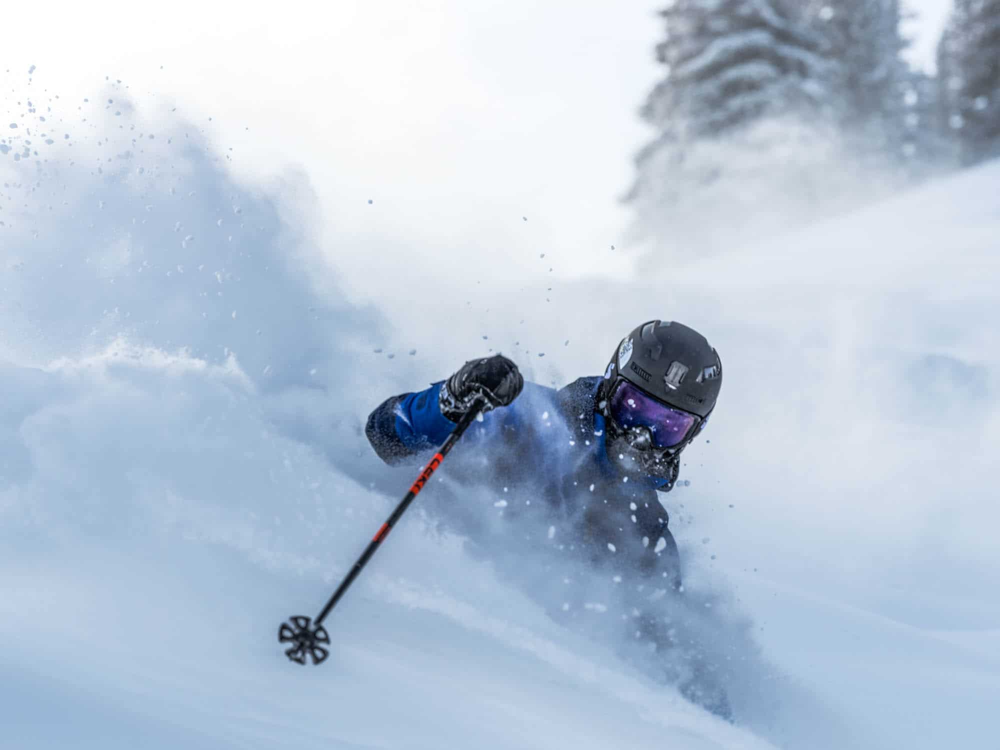
Thursday, Friday, and Saturday, we will see a powerful storm move eastward across the U.S. with the Sierras taking the full brunt. Californian resorts will get hammered with heavy snowfall and strong winds during Thursday and Friday morning, and will score 1-1.5m+ by the time the snow completely clears Friday afternoon. However, snow levels will be an issue initially, with rain or dense snow likely affecting base levels of the Tahoe resorts before cooler air arrives Thursday afternoon.
The Cascades and much of the Rockies will also score deep powder from the storm, with some of the deepest totals of 50-75cm+ likely found in Wyoming, Utah and Colorado. The northern fringes of the storm will also see resorts in interior B.C. close to the U.S. border picking up light snowfall of less than 10cm.
Although the Canadian Coast Mountains and Whistler will miss out on this first storm, they will be first in line to receive snow from the next storm that rolls in from the Pacific starting Saturday morning. The storm will then push inland and southwards through the Cascades, where the heaviest falls are expected, and scrape northern California with light snowfall briefly falling on the Tahoe resorts on Sunday. The Rockies as far south as northern Utah and northern Colorado will also receive light-moderate snowfall on Sunday.

Monday February 17th to Wednesday February 19th
Snowfall from the second storm will continue in the Cascades and northern-central Rockies on Monday. The storm then leaves the Cascades Monday night while an Arctic High pushing down from the north will also dry up snowfall in the Canadian Rockies.
The Arctic High will bring frigid temperatures to resorts in the Rockies near and east of the divide on Tuesday as the storm extends further south into New Mexico and briefly into Arizona, with light-moderate snowfall here too. The storm exits the west on Wednesday, and snowfall completely dries up as a new storm possibly enters the northwest.

That’s all from me today, folks. Have a great week, and I’ll see you back here next Thursday for another weekly rundown of North America’s highlights and snowlights.
Grasshopper


