Grasshopper’s Weekly North America Forecast, January 2nd, 2025 – More Powder for North-Central Areas Before Long Quiet Spell Kicks in Next Week
Mountainwatch | The Grasshopper
Written Wednesday afternoon, 1st January (Pacific Standard Time)
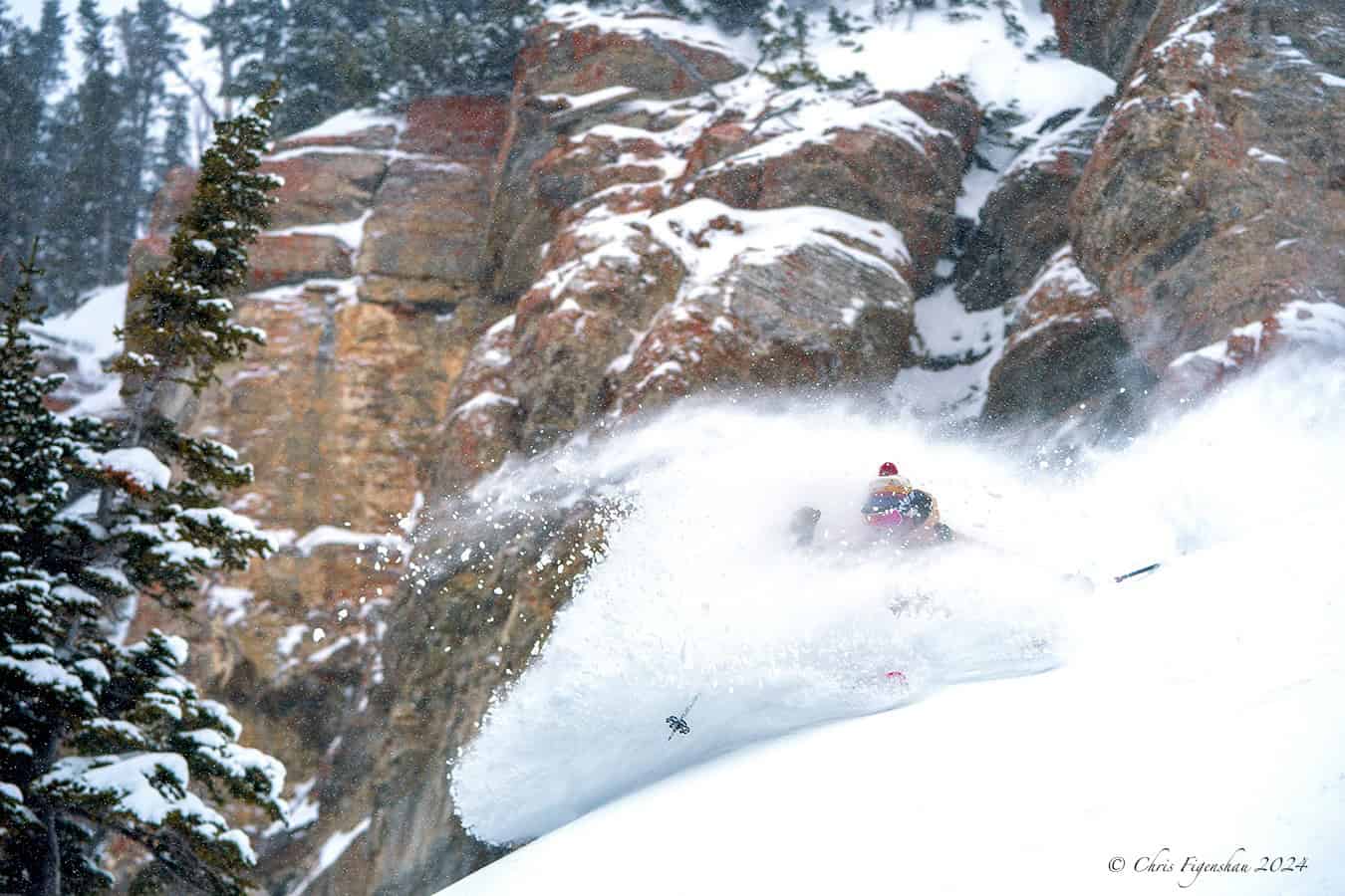
After a week of storms that saw good snowfalls in parts of Canada and the US, 2025 is going to kick off nicely with more snow over the next few days. The past few days have been particularly good in Utah and Wyoming with some solid 5-day totals, Jackson Hole picking up 45cms, Grand Targhee 75cm and Alta and Snowbird 86cms! Perfect timing for the busy holiday period.

Thursday January 2nd to Sunday January 5th
The storm cycle will remain active over the north during this period. A series of storms from the Pacific will first hit the northwest before pushing inland and expanding southwards.
The Cascades will receive some big accumulations, but temperatures will start on the warm side, and rain is expected at low elevations before colder air arrives on Friday. Tahoe and the northern Sierras will also pick up a tidy 15-30+ cm on Friday, which will, fortunately, be timed with the arrival of a cold airmass and thus largely avoid any rain.
South of the Canadian border, temperatures will also become a problem in Idaho and western Montana on Friday, with moderate-heavy snow falling as rain at elevated levels before the cold front arrives late in the day. The snow quality will improve behind the front, with lighter falls persisting through Sunday. The cold front will also push over Wyoming, Utah, and Colorado on Saturday, with moderate falls initially, tapering to light and lasting through Sunday.
North of the border, temps will be much colder. BC resorts will receive a few rounds of powder, with the biggest totals of 20-40cm expected in the Coast Mountains and 10-25cm falling at resorts further inland. Alberta will be coldest of all, with just two or three light dustings to keep the slopes in good nick.

Monday January 6th to Wednesday January 8th
Remaining snowfall throughout the Rockies will dry up on Monday as we enter a prolonged quiet spell for western North America, which is set to linger for at least a week. A high-pressure cell will then settle over the central Rockies on Tuesday, bringing settled blue skies to much of the western US through Wednesday, although strong winds are expected at some resorts.

The main activity will come from a weak front, bringing a light dusting of powder down from the north over Canadian resorts, Utah and Wyoming from Tuesday night into Wednesday.
That’s all from me today, folks. Have a great week, and I’ll see you back here next Thursday for another weekly rundown of North America’s highlights and snowlights.
Grasshopper


