Grasshopper’s Weekly North America Forecast , Thursday Feb 6th – Cold in Canada as Snow Favours Northern U.S, then the South

Written Wednesday afternoon, 5th February (Pacific Standard Time)
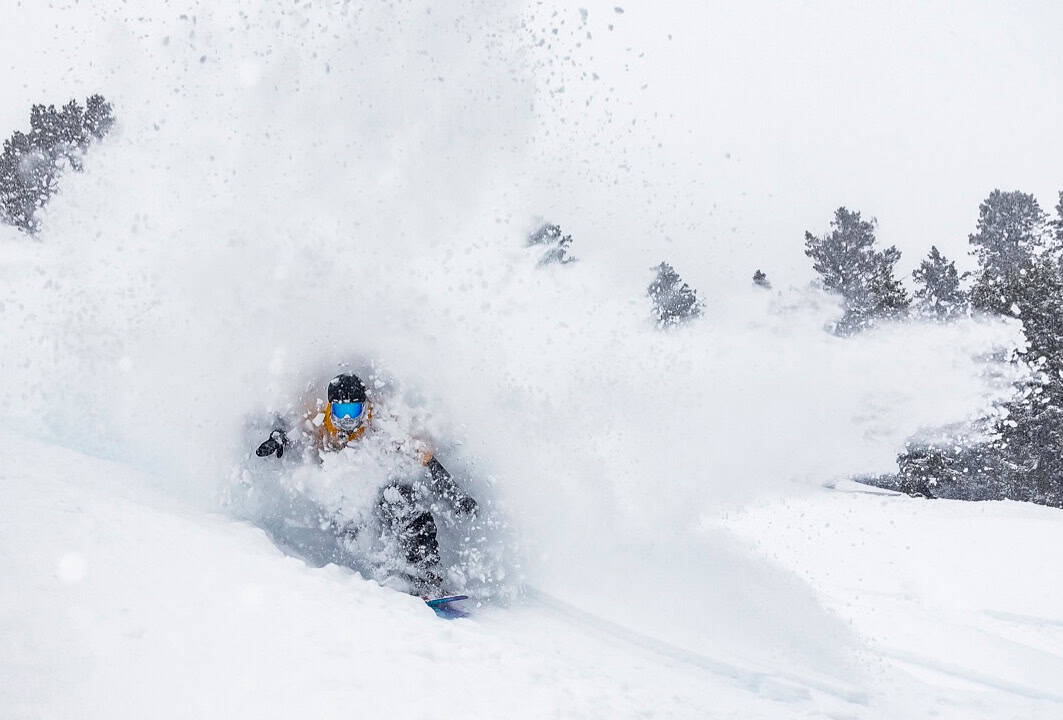
After a dry January a storm dropped so welcome powder in British Columbia before tracking south and depositing good snow totals, including in Jackson Hole which received 31 inches in three days!
Another system is due in the next 24 hours which will see good snow totals in northern US resorts while Canada is store for clear and very cold weather

Thursday February 6th to Sunday February 9th
From Thursday to Saturday, a punchy low-pressure system will pass eastwards over the northern U.S., bringing deep totals to many resorts.
The storm will hit the Sierra’s square-on, with heavy snow there from Thursday morning to early Friday, but snow levels will lift above base levels of the Tahoe resorts due to warm winds from the southwest that will blow like mad. Temperatures, and thus snow levels, will drop on the backside of the low, but so too will snowfall rates, and it’ll clear out by late Friday, leaving behind up to 30-60+cm of snow.
Orgeon, Idaho, Wyoming, northern Utah and northern Colorado will also receive decent accumulations, mainly in the 25-50cm range, by the time the storm exits out east early Saturday. Some resorts, particularly those in the central Rockies, will also struggle with elevated snow levels, but cold, dry air will sink southwards on Saturday.
Following on the heels of that storm, a weaker storm will track eastwards a little further to the north over the northern U.S. during Saturday and Sunday. Although snow accumulation numbers won’t be as impressive- just a top-up of around 5-15cm for the Cascades, Idaho, Montana and Wyoming – the snow quality will be top-shelf thanks to the cold airmass that will be in place over the north. Some resorts in the south of the Canadian Rockies may also receive a light dusting from this, but for the most part, Canada’s west will stay cold, clear and dry.

Monday February 10th to Wednesday February 12th
On Monday, a cold, arctic high pushes down over Canada and the north U.S. Rockies with light snow falling along the leading edge of this new airmass.
The snow will gain momentum and become heavier over the southern half of the U.S. during Tuesday and Wednesday as low pressure over the south deepens and the cold northern air interacts with more humid air from the south. By the end of Wednesday, the Sierras and Southern Rockies will have picked up moderate to heavy snowfall, with still more to come in the following days.

That’s all from me today, folks. Have a great week, and I’ll see you back here next Thursday for another weekly rundown of North America’s highlights and snowlights.
Grasshopper


