Grasshopper’s Weekly Japan Forecast, Thursday January 9th – A Lot More Snow Before a Quiet, Settled Weekend, Snow Returns Tue-Wed Next Week
Mountainwatch | The Grasshopper
Written Thursday morning, 9th January (Japan Standard Time)
After a brief mild spell, winter conditions returned to Japan yesterday (Wednesday), with most resorts throughout Japan receiving heavy snowfall since.
The cold and snowy conditions will continue to pile up powder across the country through Thursday and Friday before we head into another quiet weekend full of fair-weather powder turns.
Snowfall will ramp up again over Northern Honshu and Hokkaido on Tuesday before spreading to Central Honshu on Wednesday for yet another heavy round of powder.

Thursday January 9th & Friday January 10th
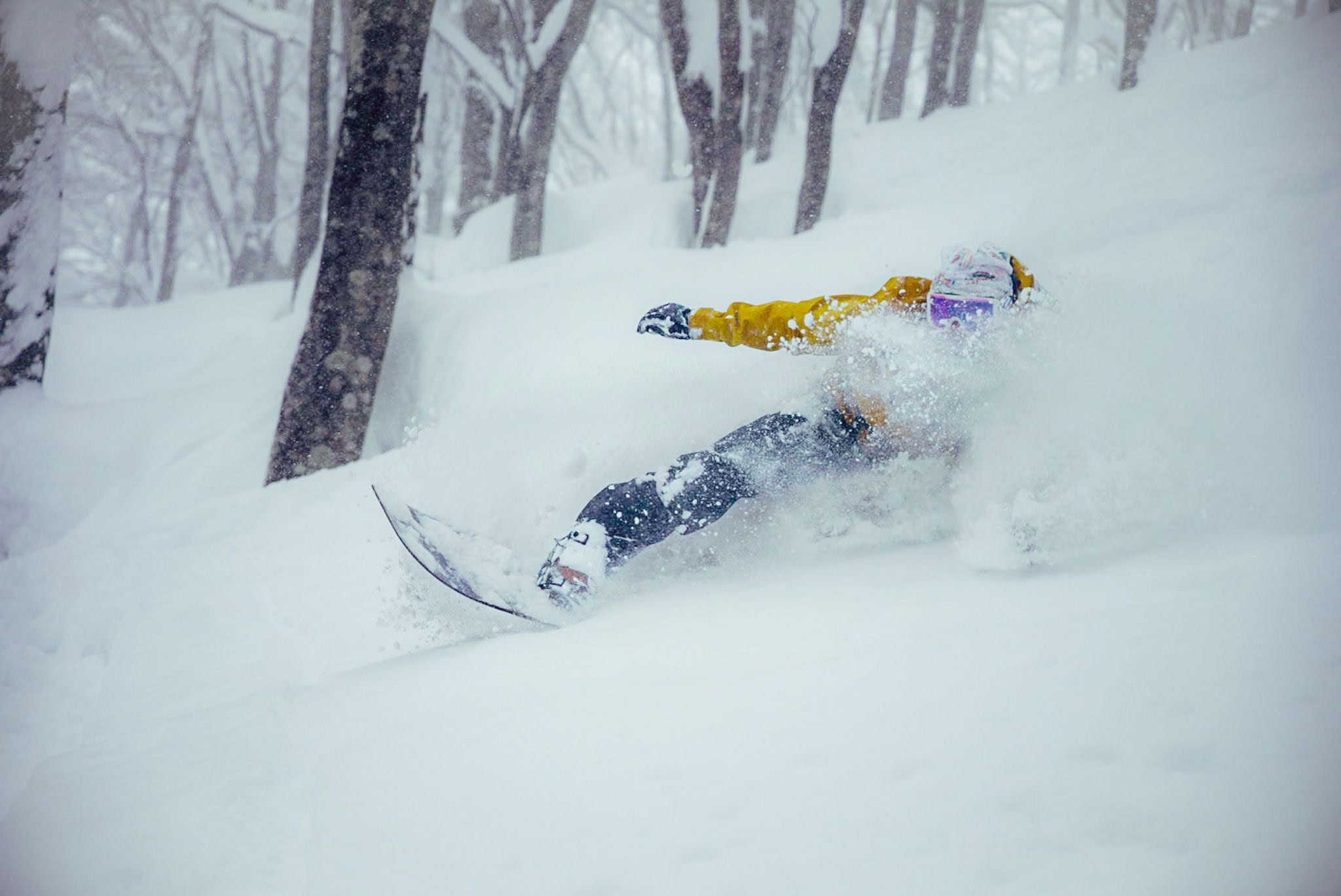
Japanese resorts will rack up another hefty load of powder over these two days as cold, snowy conditions continue across the country.
Light to moderate snowfalls will predominate. However, current radar images show blobs of snowfall rates that are bordering on heavy along the line of a weak trough currently sitting over Northern Honshu at the time of writing. This weak trough, marking a wind change from chilly west-southwesterlies to even colder northwesterlies, will drift southwards over Central Honshu tonight, bringing similar blobs of heavier snowfall with it.
Light snowfalls on Hokkaido will also become heavier late Thursday into early Friday before winds turn northeast, confining snowfall mainly to northern parts of the island for the remainder of Friday.

Saturday January 11th & Sunday 12th January 12th
Remaining snowfall across Japan will dry up on Saturday, as winds ease and pressures rise. This will most likely occur within the first half of the day for most resorts, with clouds also parting, if not clearing entirely, for what will be an epic weekend full of settled, fair-weather powder turns.
However, a low passing by on the Pacific side may bring light snowfall to some resorts in Central Honshu and eastern parts of Northern Honshu late Sunday.

Monday January 13th to Wednesday January 15th
As the low on the Pacific side pulls further away, west-northwesterly winds will gradually develop over the country, with light snow showers eventually kicking up.
Snowfall will then increase over northern Honshu and Hokkaido on Tuesday as westerly winds become strong over the country. Most resorts in Central Honshu will be dry for the day.

Snow will return to Central Honshu on Wednesday, and there’ll be heavy falls of the stuff as cold northwesterlies push down into the region. Northern Honshu and Hokkaido will also continue to pile it on with continued moderate-to-heavy falls of high-quality powder.
That’s all from me today, folks. Have a great week, and I’ll see you here next Thursday for another weekly rundown of Japan’s highlights and snowlights.
Grasshopper


