Mountain Safety Collective Backcountry Conditions Report – Friday July 29
Mountainwatch | Mountain Safety Collective
This week has seen a cycle of small top ups of new snow followed by warmer daytime temperatures, more like spring conditions than late July. Thursday evening saw a few centimetres of new snow as temperatures dropped to a cold night to welcome a beautiful clear morning on Friday.
This clear weather with light to moderate winds is set to continue through the weekend providing pleasant backcountry touring conditions before the next cold front arrives through Sunday afternoon. Pay attention to windblown snow on cornices and steeper slopes that may result in smaller human triggered avalanches.
In NSW, continue to avoid steep Easterly slopes where a persistent weak layer exists 70cm deep in the snowpack. In Victoria, a lighter top up of snow is sitting on a hard, refrozen snowpack.
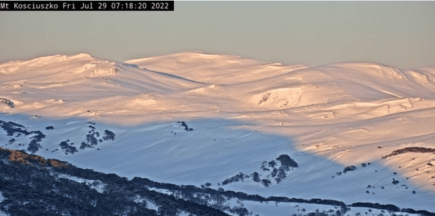
NSW Main Range (Trebor, Perisher, Guthega, Charlottes Pass, Ramshead Range, Western Faces) – Friday Report
Thursday saw light rain at lower elevations turn to a few centimetres of new snow through the evening as temperatures dropped quickly. Friday should see clear skies and pleasant backcountry touring conditions with good snow in the alpine. A persistent weak layer remains at ~70cm deep in the alpine (>1900m) that remains a layer of concern on steep Easterly slopes. Pockets of new windblown snow may be unstable on cornices and steeper slopes. Avoid steeper Easterly slopes and travel on or under cornices as temperatures rise through the day. Moist, subalpine snow will have refrozen overnight creating icy conditions at lower elevations before warming through the day. This cycle is set to continue until Sunday afternoon when a new cold front arrives. Read the full report

VIC Dividing Range (Hotham, Falls Creek, Bogong, Fainters, Feathertop) – Friday Report
Low avalanche danger as the moisture from the rain events has penetrated the top 40cm and the freezing level has dropped overnight creating widespread ice on all aspects and elevations. Ski/board and boot crampons are recommended for safe travel. There is a slide for life factor today, Self-arrest techniques require an ice axe or safe route planning. Solar aspects will likely soften with UV input and Shaded aspects will likely stay firm. Poor visibility in the morning but moving into a Favourable outlook with good visibility for the rest of the day. Read the full report »

VIC Front Range (Buller, Buffalo, Stirling, Baw Baw) – Friday Report
Low avalanche danger as the moisture from the rain events has penetrated the top 40cm and the freezing level has dropped overnight creating widespread ice on all aspects and elevations. Ski/board and boot crampons are recommended for safe travel. There is a slide for life factor today, Self-arrest techniques require an ice axe or safe route planning. Solar aspects will likely soften with UV input and Shaded aspects will likely stay firm. Favourable outlook with good visibility for the rest of the day. Read the full report »

For more information on staying safe in the backcountry, visit Mountain Safety Collective.


