New Zealand Forecast – Icy Southerlies To Bring Fresh Snow To Low Levels
Mountainwatch | The Grasshopper
Written early Monday 7thAugust, valid to Thursday 10thAugust
Wow, what a week it has been in NZ and what a week it is going to be!
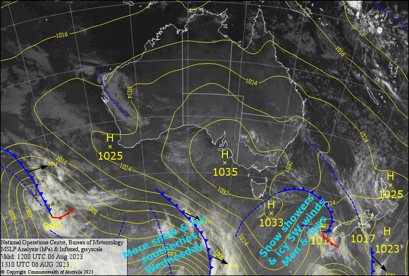
Today a low loitering east of the South Island will spread a freezing, wintry SW flow up the country, bringing snow showers to super low levels with it. The snow showers will keep going Tuesday, but the big day will be Wednesday when an extra Southerly push, fresh off the Antarctic ice sheets, comes through. This will bring even more snow, especially to Canterbury and Ruapehu where there’ll be some decent snowfall Wednesday evening/night. The snow will continue falling on Ruapehu during Thursday, while a narrow ridge pushes onto the South Island, eventually clearing skies and easing southerlies.
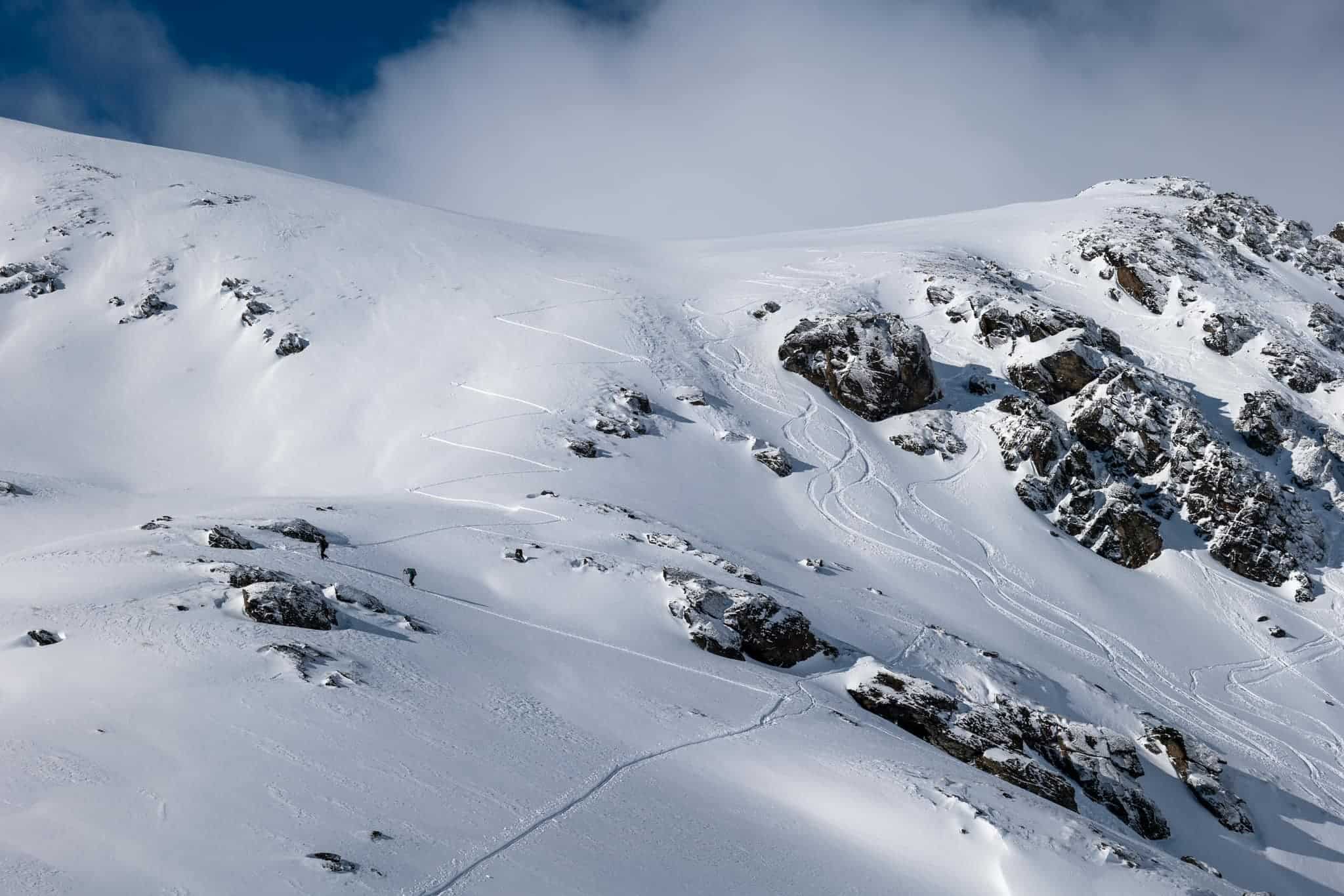
Although snow accumulations aren’t whopping – 5-10cm for the Southern Lakes, 10-20cm for Canterbury and 15-35cm for Ruapehu – it will be of the highest quality and will provide excellent conditions. Additionally, winds shouldn’t get too strong as to cause issues, however you’ll need to wrap up warm and take a thermos of hot soup because wind-chill will be severe. The snow will likely affect roads around the country, and we could even see snow in the townships of the Southern Lakes and inland Canterbury, so take care.
Monday 7th
The Southern Lakes will likely see a brief snow shower around dawn, then further snow showers to low levels during the afternoon as northwesterlies change to a cold southwest.
Canterbury will be fine with just a little high cloud during the morning as NW winds rise to gale in exposed areas. Winds will gradually ease and turn SW during the arvo. There’ll also be a little bit of snowfall at night with cold temperatures.
Ruapehu will see drizzle or light rainfall throughout the day, which will fall as snow on mid-upper slopes. There’ll be a period of heavier falls at night as snow levels drop.
Tuesday 8th
Freezing SW winds will bring more light snow showers/flurries to the Southern Lakes, which won’t make it as far north as Treble Cone, and they’ll clear in the afternoon.
Canterbury will start out cloudy, with snow flurries clipping Mt Hutt, but it’ll gradually clear up during the afternoon as a SW breeze kicks in.
On Ruapehu, winds swing around to a cold W-SW during the morning and will bring snow showers to low levels until evening.
Wednesday 9th
More snow showers to low levels for the Southern Lakes as a fresh bout of cold southwesterlies come through. The snow showers should manage reach Treble Cone before they start to back off during the afternoon.
Canterbury will have some fine spells and light SW breezes before snow starts falling later in the afternoon as stronger, colder southerlies arrive. There’ll be fairly heavy snowfall to super low levels during the evening.
Snow showers return to Ruapehu during the morning, while cold SW winds gradually clock around to the NW. There’ll be heavier snowfall at night too.
Thursday 10th
Any cloud affecting the Southern Lakes resorts will clear for a fine afternoon while an icy cold southerly wind dies away.
Don’t let the cloud cover stop you from scoring powder in Canterbury, because it’ll eventually clear up during the afternoon as cold southerlies start to ease.
Decent snowfall for Ruapehu on and off throughout the day, clearing evening shortly after NW winds change southerly during the afternoon.
Extended Forecast
The ridge will provide excellent conditions for shredding on Friday, before clouds build over the country Saturdayas another low approaches from the west.
The low should bring another load of snow to the South Island Sunday and next Monday, with heavy falls possible in Canterbury, while a mix of rain + snow falls on Ruapehu.
The low will be slow to pull off the North Island, keeping the snow/rain mix going on Ruapehu next Tuesday and Wednesday, while a ridge of high pressure moves onto the South Island, clearing things up there nicely for another couple of epic powder days.
That’s all from me today, folks. See you again Friday.


