New Zealand Forecast, Monday August 21st – Fresh Snow And Clearing Skies For The South Island Today, While Southerlies Hit Ruapehu With 10-25cm
Mountainwatch | The Grasshopper
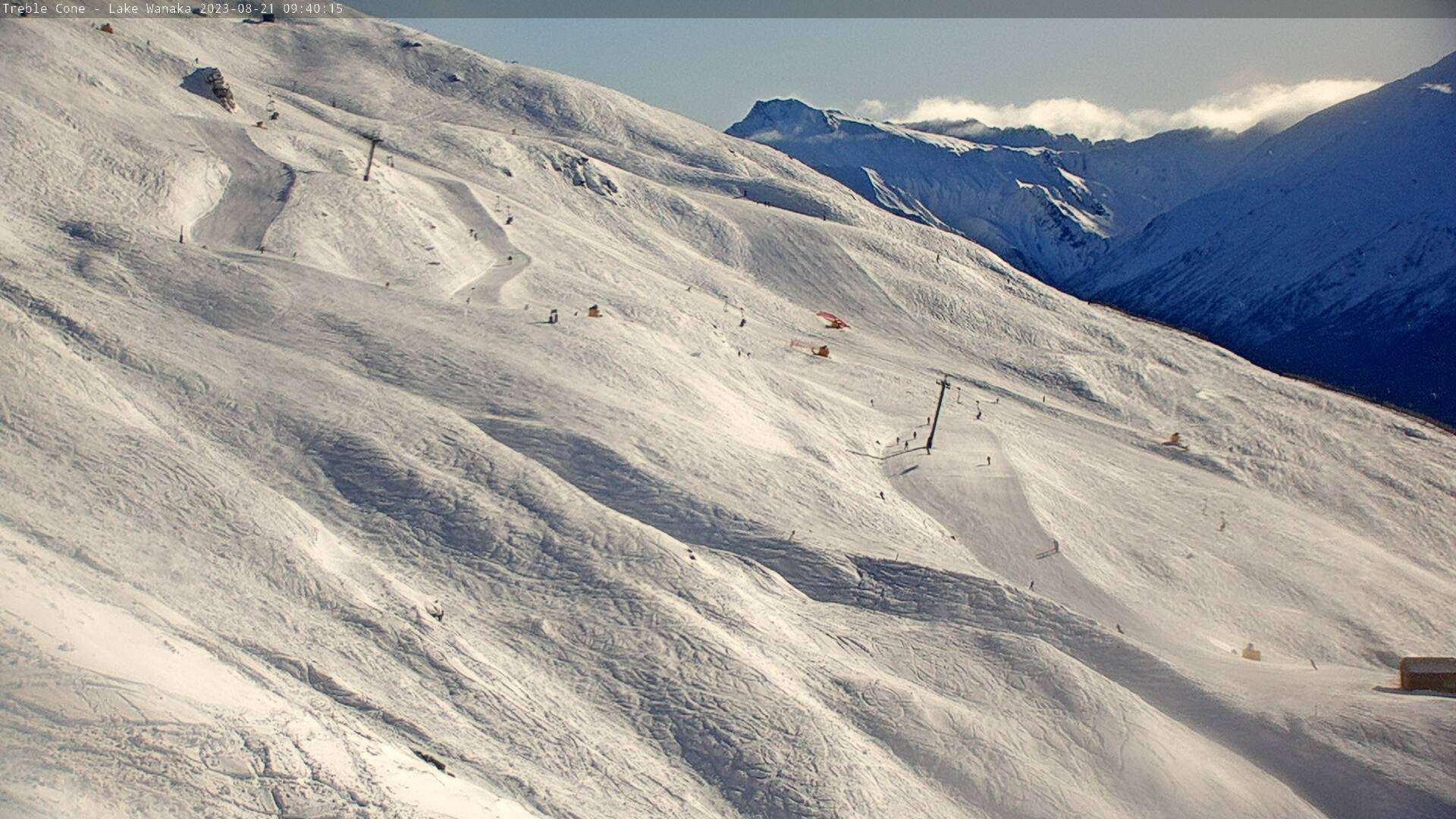
After a rough weekend with high winds and a mix of rain and snow falling, cold winds from the south rushed over the South Island last night, delivering a nice wee top-up of fresh powder. So it’ll be a great day to head up the hill down in the southern Lakes as conditions rapidly improve there as a ridge of high pressure drifts up onto the bottom of the South Island.
Meanwhile, on Ruapehu, the southerly will arrive this morning with some serious force and will no doubt cause mountain operations a few headaches. However, a fresh 10-25cm of snow will go a long way in repairing the massive amount of rain that fell on the lower mountain yesterday.
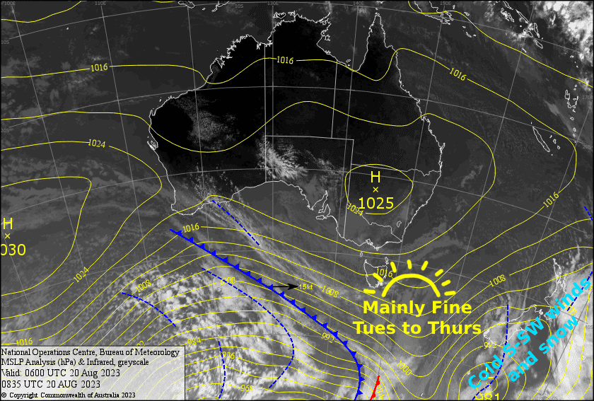
The low sitting just east of the North Island will pull away during Tuesday, taking the southerlies winds with it, and leaving NZ under a nice, settled high, which will provide plenty of sunshine and calm winds all the way through Thursday.
Monday 21st
Any remaining snowfalls will clear South Island resorts early this morning. Cloud will clear the Southern Lakes for a fine afternoon, however it’ll stick around in Canterbury where light snow flurries will return this afternoon. Strong, cold southerly winds will gradually abate throughout the day.
Snow will fall on Ruapehu throughout the day, peaking during the afternoon after a strong southerly change rips through during the morning. Winds will rise to gale, possibly severe gale during the afternoon with blizzard conditions.
Tuesday 22nd
A beautiful, sunny winters day for the South Island, with a crispy start and light W-SW breezes.
Remaining snowfall on Ruapehu will clear early morning, the cloud following suit shortly after, leaving a fine afternoon. Gale to severe gale southerly winds gradually abate.
Wednesday 23rd
Another mint day for the South Island, with just a little bit of high cloud and little wind to speak of.
A nice, clear morning for Ruapehu, followed by a partly cloudy afternoon as light southerlies turn southwest.
Thursday 24th
Cloud builds over the Southern Lakes before a possible light shower or two of snow/rain around dusk as light W-SW breezes turn to the S-SE.
Canterbury will be fine again with just scraps of high cloud, while a southerly breeze picks up.
Partly cloudy, partly sunny skies over Ruapehu with just a light southerly breeze.
Extended Forecast
High pressure will linger over NZ during Friday bringing partly cloudy skies and light winds. Then, this weekend, a cold front will move up the South Island, likely hitting the Southern Lakes late Saturday and Canterbury Sunday morning, delivering yet another handy top-up of fresh powder and a good opportunity for snow making.
The front should then hit Ruapehu during Monday, with the possibility of a protracted snowfall event spilling into Tuesday if the front stalls across the North Island, as some models suggest. The result; a nice dump of snow! Meanwhile, high pressure building over the South Island will see skies clear up and winds drop off.
That’s all from me today, folks. See you again Friday.


