New Zealand Forecast Monday August 31st – Southerly Gut-Buster Set To Dump A Heap Of Powder
Mountainwatch | The Grasshopper
Valid Monday 31stAugust – Thursday 3rdAugust
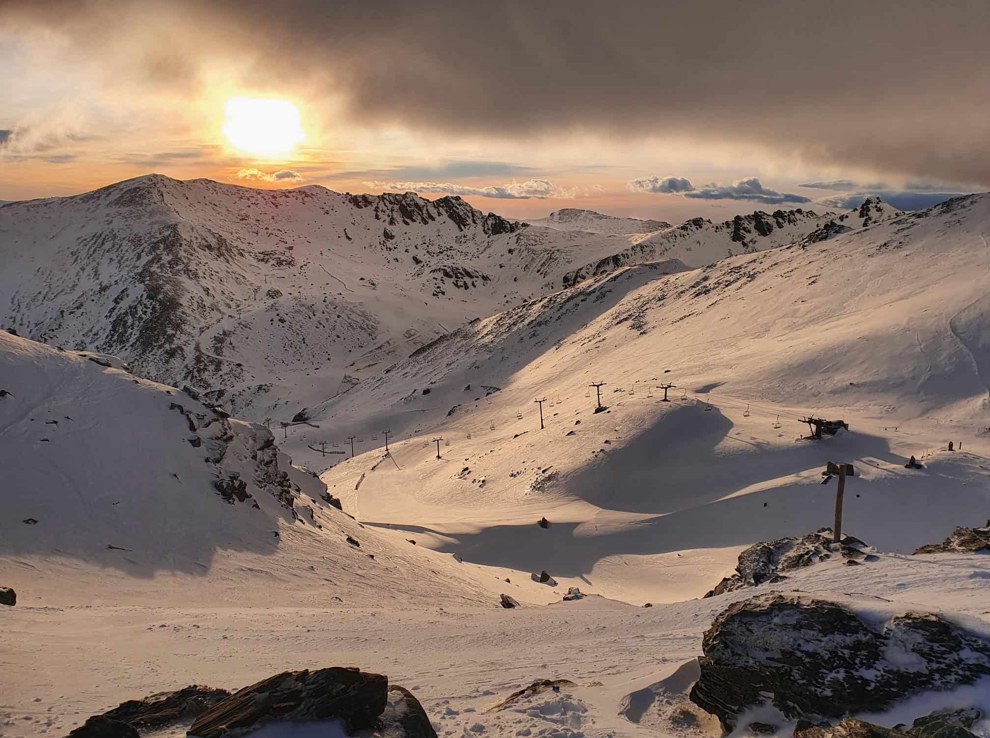
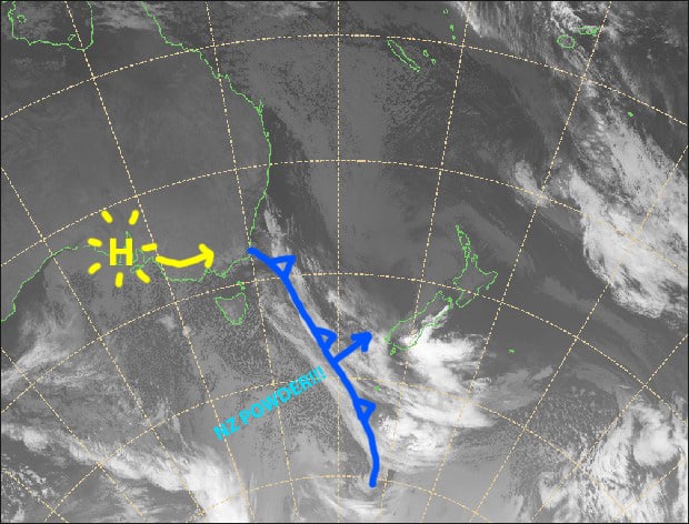
Hairdryer NW winds are wrecking havoc over the South Island today with ski fields either closed, or running on restricted operations. Fortunately, it’s just a necessary evil before the heavens open up thanks to a real southerly gut-buster, which will hit the Southern Lakes tonight, then Canterbury tomorrow morning. There’ll be heavy snowfalls to low levels, leaving approximately 10-25cm+ in the Southern Lakes and 25-35cm+ in Canterbury.
Skies will clear up nicely for Wednesday and Thursday, providing a couple of the best days of the season – it’ll be worth wagging work for!
Note: The detailed forecast below is for ski fields in Canterbury and the Southern Lakes.
Monday 31st
Severe gale NW winds, urgh say no more! Wait… a big fat juicy dump of snow for the Southern Lakes tonight with a cold southerly change. That’s more like it!
Tuesday 1st
For the Southern lakes, snowfalls will have pinned back to snow showers and flurries by the time you head up the hill. Heavy snowfalls in Canterbury will ease from afternoon. Icy southerly winds, turning to the SE.
Wednesday 2nd
Perhaps the best day of the season! Any morning cloud will clear to a sunny powderific day. It’ll be chilly and calm to start, and then W-SW winds will kick in.
Thursday 3rd
Another great day to head up the hill as it’ll be mostly sunny, apart from some mid-high cloud over the Southern Lakes from afternoon. NW winds developing.
Extended Outlook
NW winds will become strong again on Friday before a front brings mostly rain, and little snow, Friday night through into Saturday.
A ridge of high pressure will bring nice weather to the South Island on Sunday and next Monday. Then NW winds will kick in before another cold front looks set to deliver another load of snow next Wednesday and/or next Thursday.
That’s all from me today, guys.
Grasshopper


