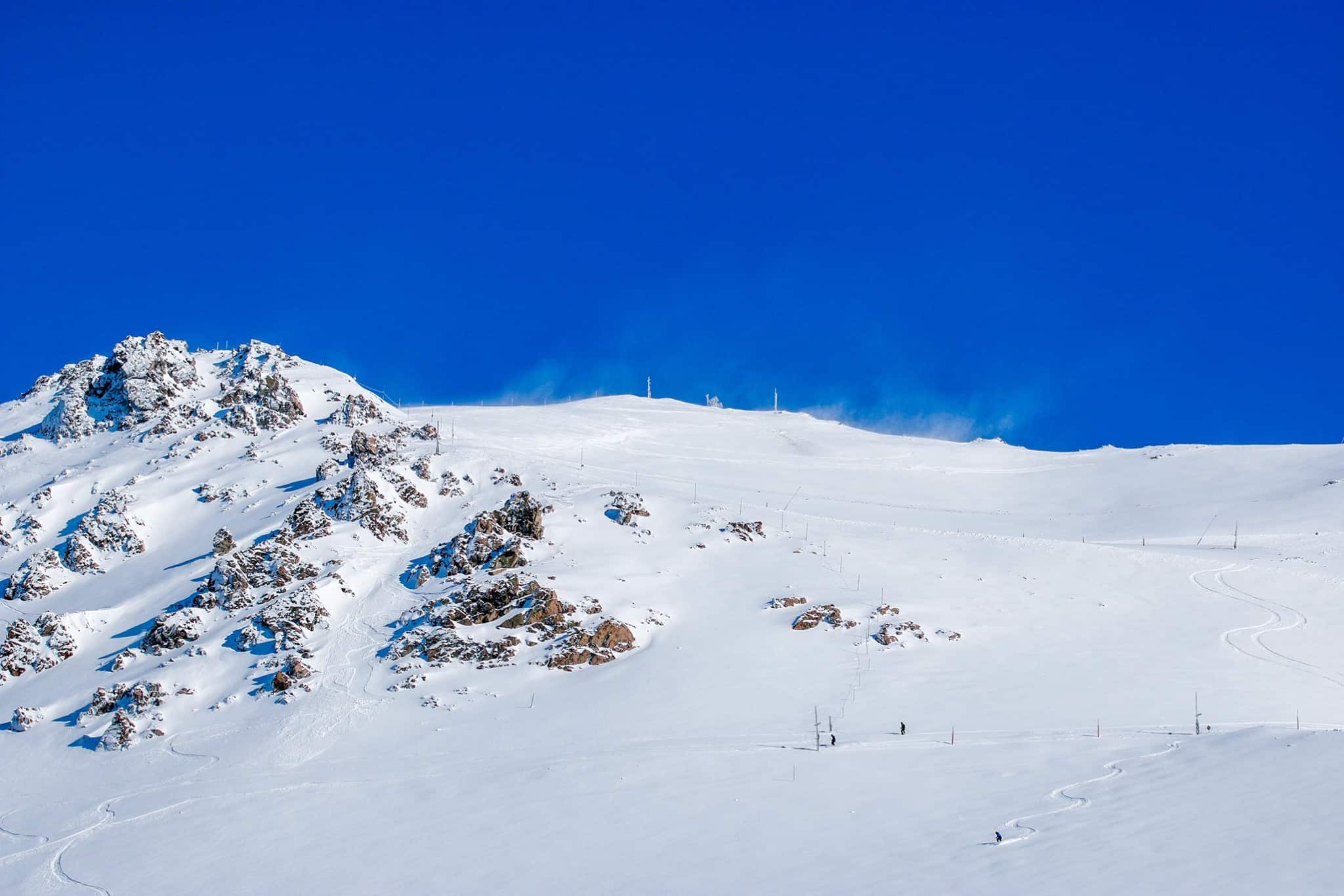
New Zealand Forecast Monday, September 21 – A Quick Break In The Weather Today Before Stormy September Resumes
Mountainwatch | The Grasshopper
Valid Monday September 21 – Thursday September 24
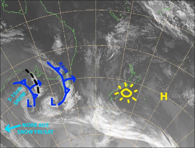
Make the most of the fine weather today, it may be the nicest day for a while. NW winds will blow like billy-o on Tuesday, before an active front dumps a whole lot of rain at night.
Winds will remain strong during Wednesday and Thursday with a messy mixture of sunshine, cloud, rain, and a little snow up top, as a low approaches the bottom of the South Island from the west.
Note: The detailed forecast below is for ski fields in Canterbury and the Southern Lakes.
Monday 21st
Slip, slop, slap and wrap today guys, the sun will shine all day long. NW winds strengthening.
Tuesday 22nd
Partially cloudy, with scattered rain over the Southern Lakes from midday and Canterbury from evening. Heavy rain at night/overnight. NW winds rising to severe gale in exposed places.
Wednesday 23rd
Rain should have cleared the Southern Lakes by dawn, but scattered rain may develop again in the afternoon, falling as snow up top. NW winds.
Rain should clear from Canterbury ski fields during the morning. Severe gale NW winds will abate a little.
Thursday 24th
A messy mix of sunshine, cloud and a few showers, which will fall as snow up top. NW winds will likely be strong to gale in Canterbury.
Extended Outlook
The low approaching the bottom of the South Island is likely to leave a little snow during Friday, although ski fields close to the Main Divide could see more substantial accumulations.
A cold front this weekend will again bring ridiculously strong winds, and a whole heap of rain, followed by potentially a nice top-up of powder and chilly W-SW winds through into mid next week.
That’s all from me today, guys.


