New Zealand Forecast Thursday August 27th – Wild And Windy, Then A Big Fat Juicy Pile Of Powder Monday Night
Mountainwatch | The Grasshopper
Valid Thursday 27thAugust – Monday 31stAugust
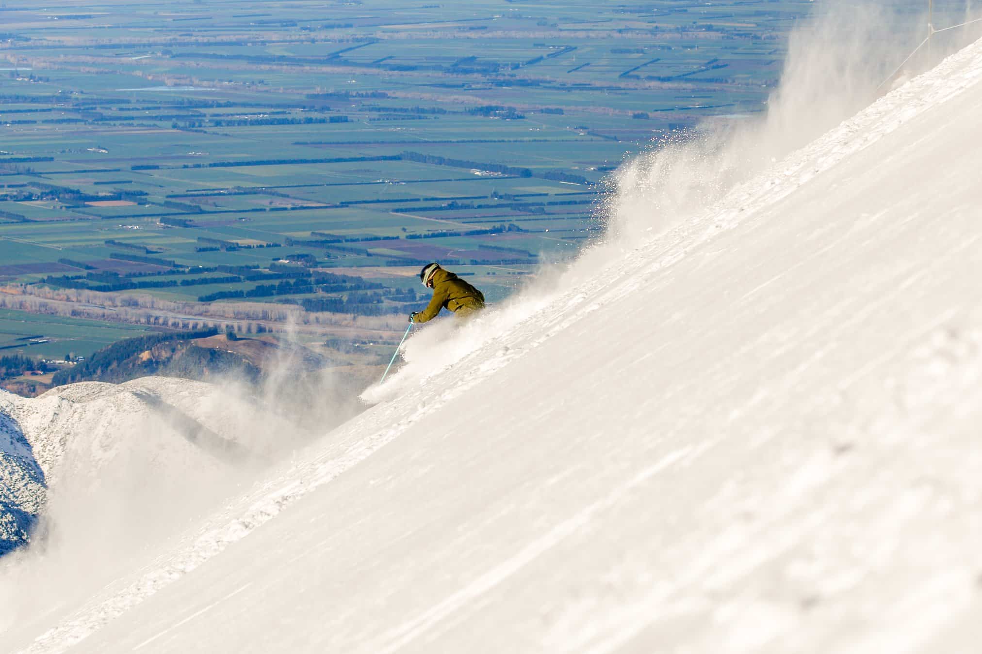
After a couple of dusting this week, including early this morning, NZ slopes are looking ‘tip-top’ as a season ‘refresh’ is underway.
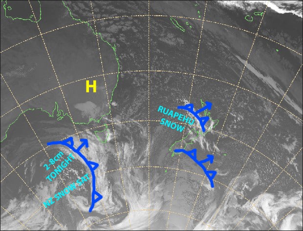
NW winds will blow a gale during Friday before a cold front delivers a nice top up of fresh snow that night. Winds will continue to blow this weekend before going absolutely nuts on Monday with severe gales, but then a hearty cold southerly will hit that night, dumping a big fat juicy pile of powder – perhaps the biggest we’ve see this season for some resorts, especially those in the Southern Lakes. You beauty!
Note: The detailed forecast below is for ski fields in Canterbury and the Southern Lakes.
Thursday 27th
After a light early dusting, we’re left with clearing skies and easing cold SW winds. Mint!
Friday 28th
A fine start, then mid-high cloud increases and NW winds rise to gale in exposed places. Scattered snowfalls from afternoon, more persistent over resorts close to the Main Divide, then a period of heavier falls over the Southern Lakes at night.
Saturday 29th
A mix of sunshine and cloud for the Southern Lakes. Morning snow for resorts close to the Main Divide in Canterbury, with high cloud elsewhere, then a fine afternoon. Strong-gale NW winds.
Sunday 30th
Fine with some high cloud, however NW winds continue to blow a gale.
Monday 31st
Severe gale NW winds, urgh say no more! Wait… a big fat juicy dump after dark with a cold southerly change. That’s more like it!
Extended Outlook
After snowfalls clear on Tuesday, the weather will become unruly again. W-NW winds are likely to reach severe gale through the latter half of next week, while a number of low or frontal systems bring a mix of rain and snow, which could possibly equate to substantial accumulations. However, models are shady to say the least, so we’ll have to wait till Monday’s forecast to shed more light on this.
That’s all from me today, guys.


