New Zealand Forecast Wednesday June 16 – Snow for Canterbury but Southern Lakes Miss Out
Mountainwatch | The Grasshopper
Valid Wednesday June 16 to Friday June 18
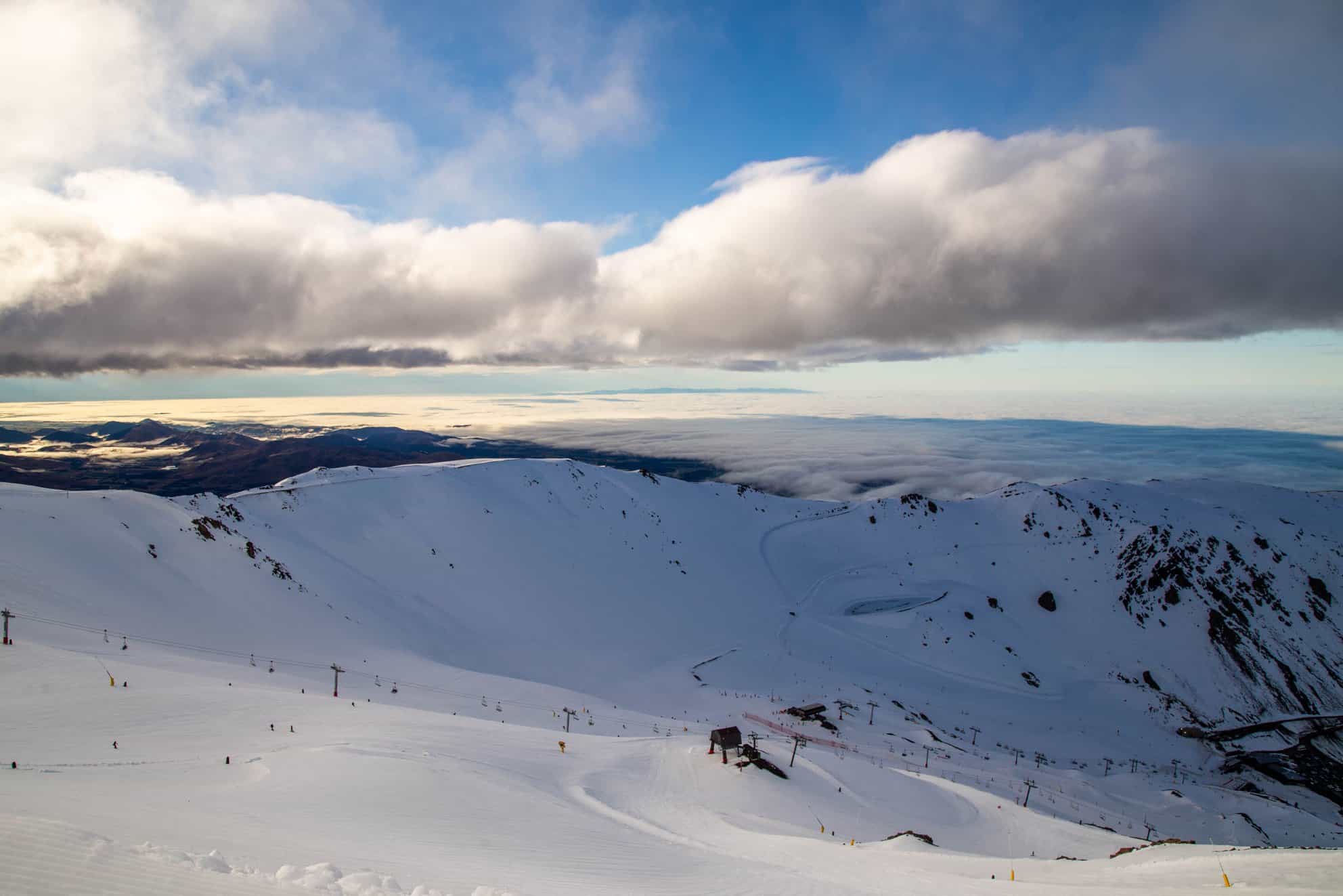
Welcome to my first New Zealand forecast for the 2021 season. New Zealand has been relatively quiet since the monster early season dump that saw big totals at Mt Hutt a couple of weeks ago. This could change as there is a nice amount of snow expected to hit Canterbury and Ruapehu on the North Island, but freezing levels are questionable which may lead to rain down low. Unfortunately, it looks like this system will miss the Southern Lakes.
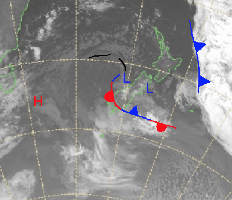
There is a low on either side of New Zealand right now and as the low in the Tasman moves over the country today we will see a cold front spin up in its wake, bringing snow from the south. Peak totals will be tomorrow and speaking conservatively we are looking at in the order of 5-15cm in the next three days.
Wednesday 16 June
In the North light rain is possible with the freezing level high in the morning lowering to 2200m later with strong westerlies. In the south snow should develop later on with snow possible for the Southern Alps above 1700m and around 1400m for Fiordland. Southwesterlies strengthening in the evening.
Thursday 17 June
Isolated precipitation around Ruapehu with the freezing level around 2000m. Snow in the South Island with the freezing level around 800m in the south and about 1600m in the Canterbury regions. Totals around 3-10cm possible with Mt Hutt receiving the upper totals.
Friday 18 June
Cloudy with possible precipitation in the North Island, the freezing level sitting at about 2000m. For the South Island snow above 1000 in the Southern Alps and possible snow showers in Canterbury above 1600m.
Extended Outlook
Looking further ahead there is more on the way after Friday as part of the weather system hitting the Australian Alps combines with some colder air moving through the Southern Ocean. Overall including the next three days some models put totals well over 30cm in the next five days for the Canterbury region, but at this stage it looks like the Southern Lakes resorts will miss out. I’ll keep you updated on this in my next forecast.
Grasshopper


