New Zealand Forecast Weekend Forecast, September 27th – Chilly Southwesterlies Persist This Weekend with Plenty of Sunshine

Mountainwatch | The Grasshopper
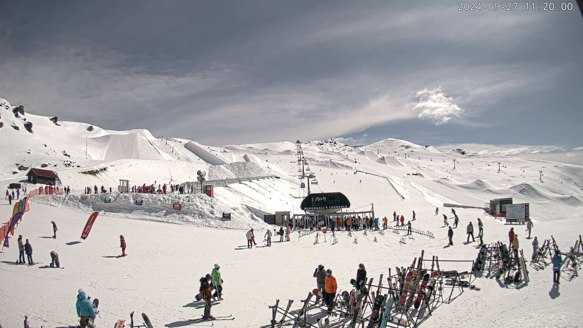
Strong winds and heavy rain over the South Island prevented most resorts from opening yesterday (Thursday), but the cold change came through during the latter half of the day and has firmed things up for some icy conditions over the next couple of days. The Remarkables is the only one to report new snow out of the system, with 2cm at base and 16cm up high.
At the time of writing, Mt Ruapehu is getting pummelled by the same front, with heavy rain and strong winds likely causing closures or delays. It’ll all ease and turn cold around opening time with a possible skiff of snow.
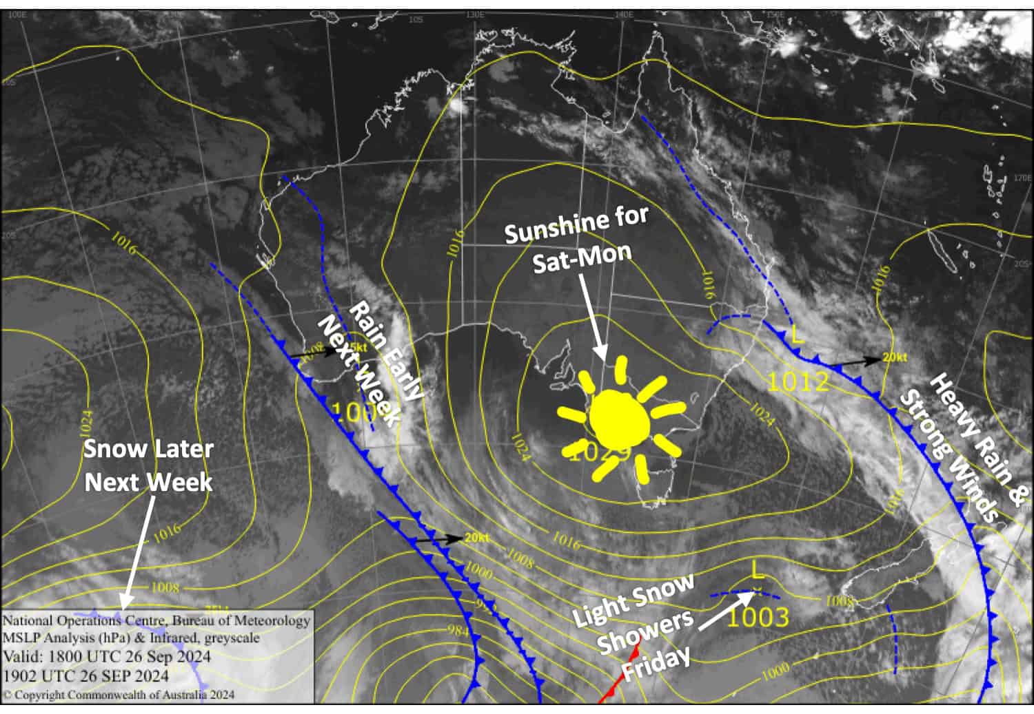
The southwest flow will persist over the country this weekend, although there’ll be plenty of sunshine while temperatures start to rebound. Monday will be nice, too, as high pressure crosses the upper North Island and winds turn northwest over the South Island.

Friday September 27th
Brisk, icy cold west to southwest winds over the South Island will push some cloud over the Southern Lakes with a possible light snow shower about the Queenstown resorts in the afternoon. Canterbury will be mostly clear and sunny, but some light snow showers may also show up on Mt Hutt in the afternoon.
A cold southwest change on Mt Ruapehu will see heavy rain ease and turn to snow briefly around opening time, leaving a skiff of snow and partly cloudy skies for the rest of the day.
Saturday September 28th
A fairly cloudy day for the Southern Lakes and a nice, sunny one for Canterbury with cold west to southwest winds.
A fine start on Mt Ruapehu, but clouds will push in during the morning, and we could see a few light snow showers in the afternoon. Chilly southwesterlies turn westerly.
Sunday September 29th
A fine day for South Island resorts, with just a little bit of high cloud overhead. West to south west winds will be strong in exposed areas of the Southern Lakes, but they’ll ease and warm throughout the day.
Mostly fine for Mt Ruapehu, but there may be cloud at base levels, especially in the morning. Brisk southwest winds turn to a light southerly around midday.
Monday September 30th
A nice, sunny day for all South Island resorts with some high clouds from late afternoon. Northwest winds gradually pick up.
A mint, sunny day for Mt Ruapehu as the southerly breeze gradually dies out.
Extended Forecast
Next week, a storm system from the Tasman Sea will likely affect the country from late Tuesday onwards. Things will start warm and wet with strong winds from the north, but cold air will sneak in from Wednesday or Thursday, turning it all to snow. By the end of the week, we could be looking at a moderate to heavy load of fresh powder over the South Island and a lighter top-up for Mt Ruapehu. Details are sketchy at this point, but Monday’s forecast should give us more certainty around this.=
That’s all from me today, folks. See you back here on Monday, have a great weekend.
Grasshopper


