New Zealand Weekend Forecast, August 4th – A Couple Of Light Snowfalls, A Little Wind & Cloud, But Nothing To Stop The Fun
Mountainwatch | The Grasshopper
Written early Friday 4thAugust, valid to Sunday 6thAugust
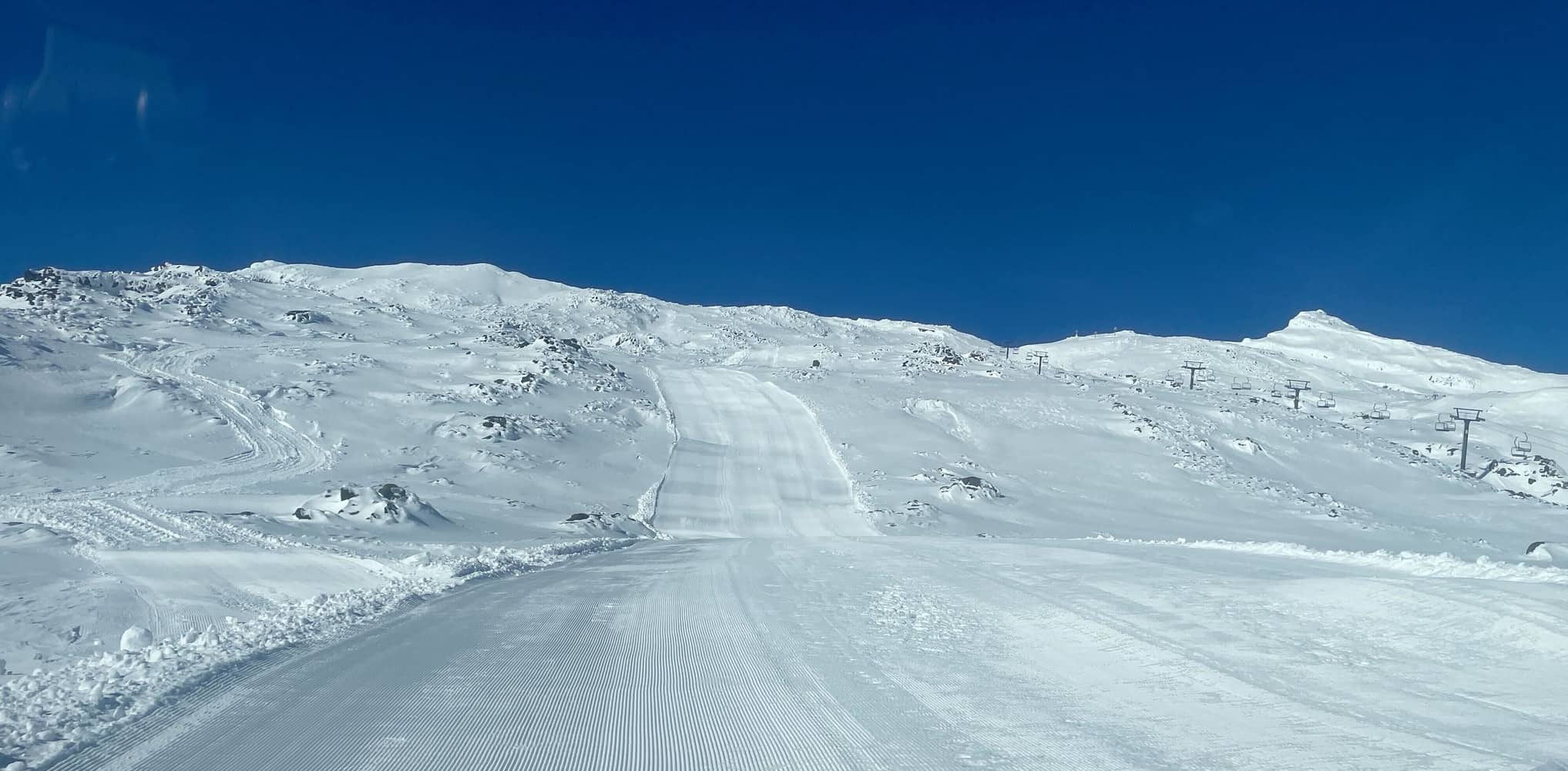
The big clean-up is mostly done after perhaps the gnarliest winter storm NZ has seen this season came through earlier this week. It was chaotic and destructive, but has piled about 30-45cm onto resorts in the Southern Lakes, and 20-40cm+ onto Ruapehu.
In Canterbury, Mt Hutt received a fluffy 12cm, while the club fields are mostly reporting 25cm. It’s a game changer, taking the season to new heights. There should be nothing major in the forecast to stop you shredding up all that powder over the next few days, although strong southerly winds on Ruapehu may be an issue today (Friday). The Southern Lakes will see a bit of cloud today, before a weak front gives resorts a light sprinkling of a few centimetres or less this evening/tonight.
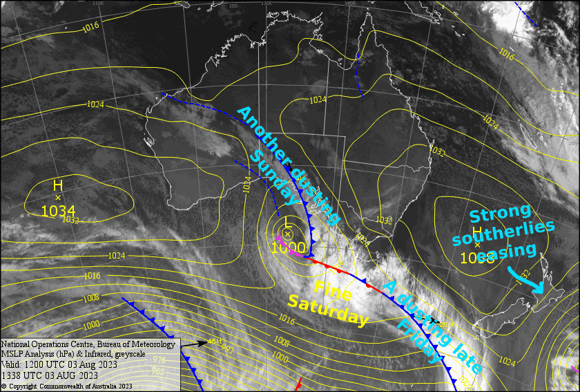
Saturday will be the nicest of the bunch as a ridge of high-pressure drifts up the country. Then, another weak front moves up the South Island during Sunday, bringing another 2-8cm to the Southern Lakes during the day, and just a skiff to Canterbury in the evening.
Friday 4th
The Southern Lakes will cloud up during the morning as strong westerlies rise to gale. A nice dusting of snow during the evening as winds change SW.
In Canterbury, mid-high cloud will gradually build throughout the day, and there’ll be a light sprinkling of snow at night – most likely only for Mt Hutt and Porters Pass. W-SW winds.
On Ruapehu, cloud and remaining light snow showers will clear during the morning for a clear afternoon, while gale southerlies start to abate.
Saturday 5th
For the South Island, any cloud about the resorts should clear during the morning, however there’ll be low cloud about the valleys and basins, and high cloud way up. W-NW breezes developing.
Mostly fine for Ruapehu, just a little bit of cloud about. Strong S-SE abating.
Sunday 6th
Snow spreads north over the Southern Lake late morning, then clears during in the arvo, with cloud also parting, as strong NW winds turn west and ease.
High cloud over Canterbury will thicken during the afternoon and there’ll be a light shower or two in the evening. W-NW breezes developing.
Ruapehu will start out fine, but cloud will push in onto low-mid slopes during the afternoon as the SW breeze picks up.
Extended Forecast
Next week is looking relatively fine and settled; A weak, but super-cold southerly front moves up the country during Monday, bringing just light snowfall to low levels. High pressure will then pass over the South Island, bringing mostly clear, cold and calm skies there until perhaps Sunday, when a slow moving front looks set to deliver more snow.
Ruapehu doesn’t look too bad either although cold southerly winds may persist there through Tuesday and Wednesday, and easterly winds may get strong for a timeFriday and/or Saturdayas the high moves east of the country.
That’s all from me today, folks. See you again Monday.


