New Zealand Weekend Forecast – Cold And Breezy Fri & Sat, Then Heavy Snowfall In Canterbury Sun & Mon
Mountainwatch | The Grasshopper
Written early Friday 21stJuly, valid to Sunday 23rdJuly
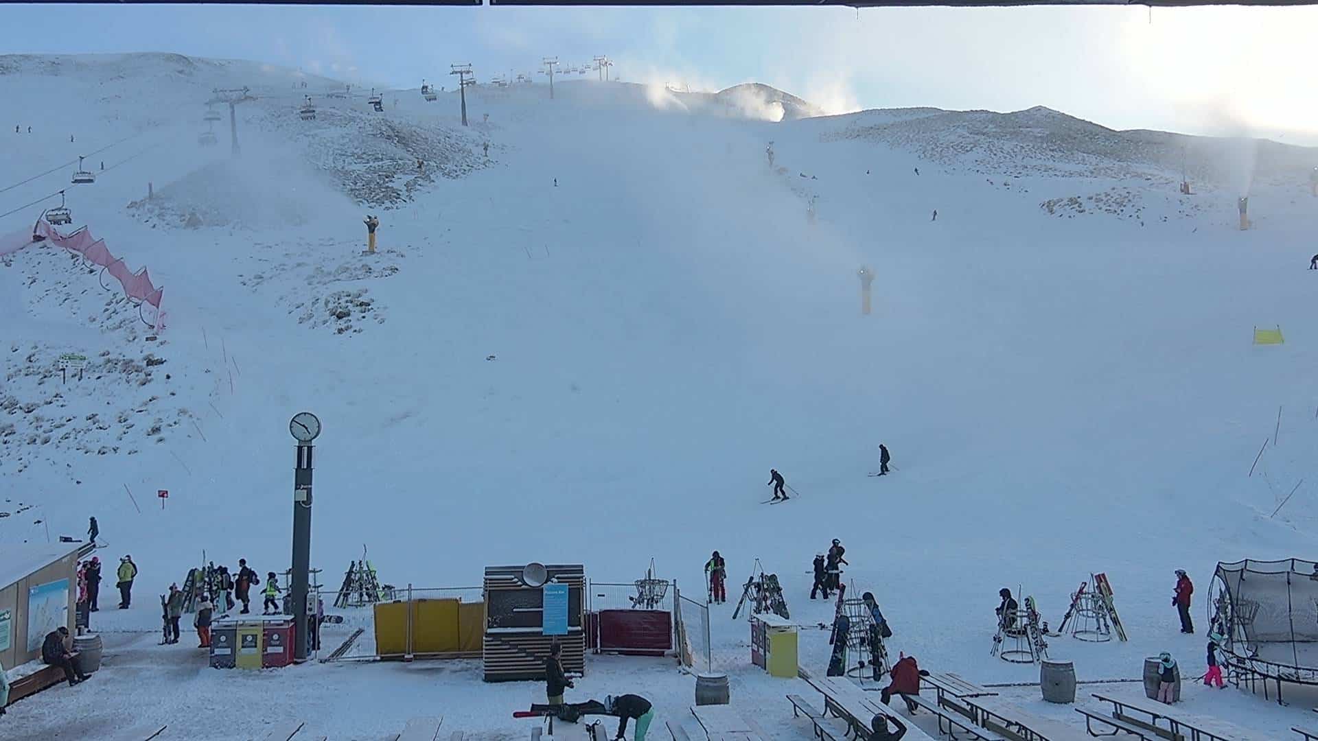
The Southern Lakes resorts received around 7-10cm on Wednesday, and Mt Hutt was reporting 10cm of new snow yesterday morning with more falling throughout the day – we’re still waiting for those numbers to come in. It has also been freezing on the South Island so the snow guns have been going hard.
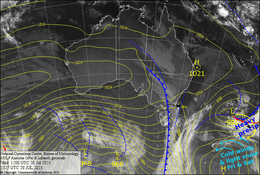
However, the snow totals don’t stack up against earlier forecasts as the synoptic situation didn’t quite go to plan. The low in the Tasman formed and trekked further to the west, so we didn’t see the level of “over-running” that we expected and the cold front lacked a bit of juice. Still, Kiwi resorts will take all they can get right now, and the slopes are much healthier as a result.
Today, the low will cut across the top of the country, then will loop around to the East Coast of the North Island during Sunday. Freezing winds out of the east will bring light snowfall to Canterbury today and Saturday, while milder, but strong winds blow over Ruapehu.
On Sunday and Monday, the snow will come down in bucket loads in Canterbury. However, the cold air will retreat southwards, allowing warmer easterlies into the mix, so it may turn wet and slushy on the lower slopes. Nonetheless, snow totals will be massive for the two days – precipitation totals range between 50mm and 130mm, which will fall as snow on at least on mid-upper slopes. So turn those mm’s into cm’s and you get the idea!
Friday 21st
A fine, sunny day for the Southern Lakes above any low level cloud, but there’ll be a cold NE wind blowing, so wrap up warm.
It’ll be cold in Canterbury too with a stiff E-SE wind adding to the chill. The winds will continue to blow in a lot of cloud, with light snowfalls throughout the day.
Ruapehu will have a gale-severe gale E-SE winds whipping over it, so wind-hold may be an issue. It’ll be mostly cloudy with some rain until evening, which will fall as snow about the upper slopes.
Saturday 22nd
Another fine, cold day for the Southern Lakes, with a E-NE breeze.
Cloud and light snowfall will continue to blow into Canterbury on cold E-SE winds which will gradually turn to a strong southerly. Snowfall will become heavy tonight!
Fairly cloudy skies over Ruapehu, a lot of it mid-high level stuff. Strong SE winds will gradually ease and turn to the south, then light rain/drizzle will develop evening, falling as snow up high.
Sunday 23rd
The Southern Lakes will be cloudy with light snowfalls and SE winds. Temps will gradually warm so it may get damp on the lower slopes during the afternoon.
Heavy snowfall in Canterbury, but it may turn damp and slushy about the lower slopes during the morning, as strong cold southerlies turn to a slightly milder southeasterly wind.
On Ruapehu there’ll be nice snowfall throughout the day along with SW winds. Temps may not be super cold here too, so there’s also chance it’ll turn to rain on the lower slopes.
Extended Forecast
The low finally pulls away to the east during Tuesday, leaving Canterbury deep in snow and allowing a cold southwesterly to sweep up the country with snow showers in tow. Another cold front and snow showers quickly sweep up the country Thursday, potentially followed by a stronger, slower frontal system next weekend with a decent top-up on the cards.
That’s all from me today, folks. See you again Monday.
Grasshopper


