New Zealand Weekend Forecast, Friday August 30th – Small Windows Between Heavy Rain and Strong Winds

Mountainwatch | The Grasshopper
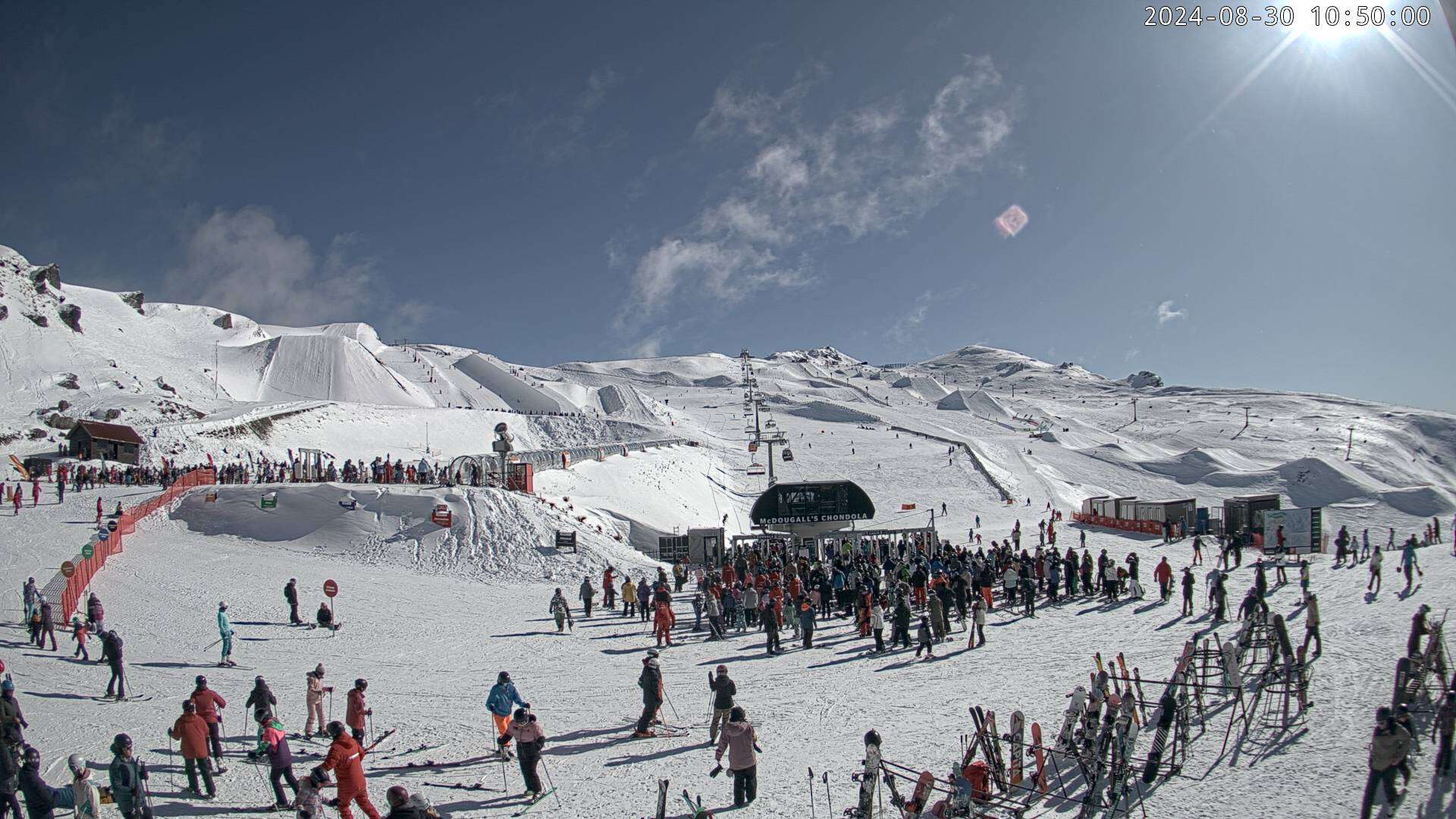
South Island resorts picked up a very wind-blown top-up of snow last night of between 3 and 10cm. Winds will remain strong for the next several days, especially in Canterbury, where wind speeds often reach severe gales, causing closures and disruptions. Mt Ruapehu will also pick up several centimetres of snow today while skies clear over the South Island.
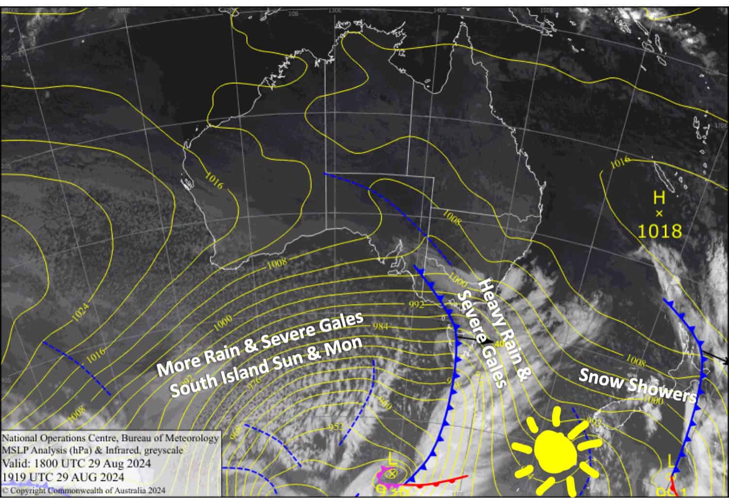
A strong front will bring heavy rain up the country Friday night into Saturday, followed by another couple of fronts for the South Island on Sunday and yet another late Monday. As a result, rainfall accumulations will be large, although there will be some snow in the mix, particularly about the peaks of the Southern Lakes. Mt Ruapehu will also manage to sneak in some sunshine on Sunday and Monday.

Friday August 30th
Remaining snow showers on South Island resorts clear early morning for a mainly fine day. However, northwest winds will be strong, reaching severe gale in exposed areas of Canterbury. Also, snow returns at night but turns to rain overnight.
On Mt Ruapehu, showers will be persistent through the middle of the day, falling as snow to 1600-1700m. Northwest winds will remain strong.
Saturday August 31st
Heavy rain over the Southern Lakes, possibly falling as snow about the tops, will clear early in the morning and lead to a fine day with northwest winds.
A grim day in Canterbury with severe gale northwesterlies and rain, which will be heavy for a time, especially for those resorts close to the Main Divide. However, rain clears and winds ease somewhat in the south during the afternoon and elsewhere during the evening.
Conditions degrade even more on Mt Ruapehu during the afternoon as heavy rain develops and gale northwest winds rise to severe gale.
Sunday September 1st
A lot happening over the South Island where strong northwest winds will rise to severe gale in exposed areas. A quick-moving front, bringing rain and snow to the Southern Lakes and those Canterbury resorts close to the Main Divide, will clear by dawn or shortly after. Another slower-moving front spreads heavy precipitation over the Southern Lakes and southern Canterbury in the afternoon, falling as snow initially but gradually turning to rain about mid-lower slopes. This rain won’t arrive at Mt Hutt and nearby Canterbury resorts until evening.
Skies clear early on Mt Ruapehu for a sunny day with brisk westerly winds.
Monday September 2nd
Another rough day for the South Island as northwest winds rise to severe gale. Rain builds over the Southern Lakes from afternoon and over Canterbury from evening, eventually becoming heavy.
Another sunny day for Mt Ruapehu as brisk westerly winds ease and turn northwest.
Extended Forecast
Strong westerly winds continue through next week and will likely cause more disruptions for the resorts. However, a cold front crosses the country on Tuesday, bringing snowfall and cooler winds through into Wednesday. This will likely favour the Southern Lakes and Mt Ruapehu with a top-up of snow. Another similar front is expected to cross the country later in the week.
That’s all from me today, folks. The next forecast is Monday. See you then, and have a great weekend.
Grasshopper


