New Zealand Weekend Forecast, Friday October 4th – Wet & Soggy After The Big Dump, Nicer Down South this Weekend

Mountainwatch | The Grasshopper
The snow arrived down south on Wednesday, and by Thursday morning, Cardrona had scored 40cm, while The Remarkables received 18-25cm. Canterbury resorts also received around 15cm, although Ohau got a bigger load of 30cm. A little more snow has fallen since then, but it turned warm and wet on Thursday, turning all that lovely powder to slush. Mt Ruapehu also copped a heap of rain, significantly damaging the snowpack which is now looking much thinner and bare.
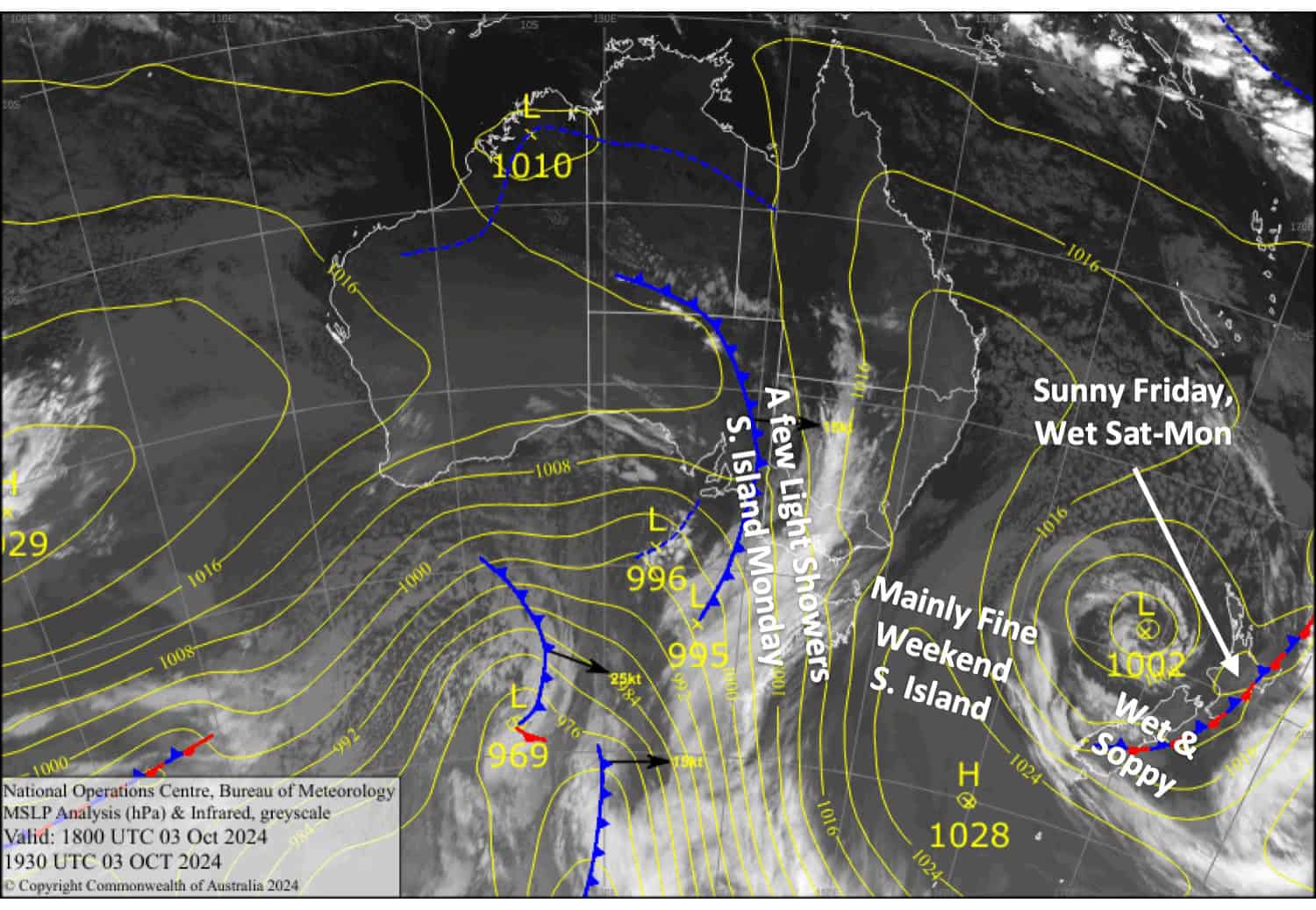
A near stationary low-pressure system in the Tasman Sea will push wet, soppy easterlies over the South Island today (Friday), while Mt Ruapehu sits snuggly in a clear slot. The roles will reverse this weekend with the South Island becoming finer, while rain and high-level snow returns to Mt Ruapehu and winds strengthen as the Tasman Low finally passes over the North Island. A weak trough of low-pressure will bring a few light showers to South Island resorts on Monday, while rain continues on Mt Ruapehu.
Next week will be the last week of the season for Mt Hutt, The Remarkables, and Cardrona. Broken River will close this Saturday, and Ohau will close on Sunday. Happy Valley at Whakapapa will also close after next Sunday, the 13th of October, while the upper mountain and Turoa will run until the 28th of October if conditions allow.

Friday October 4th
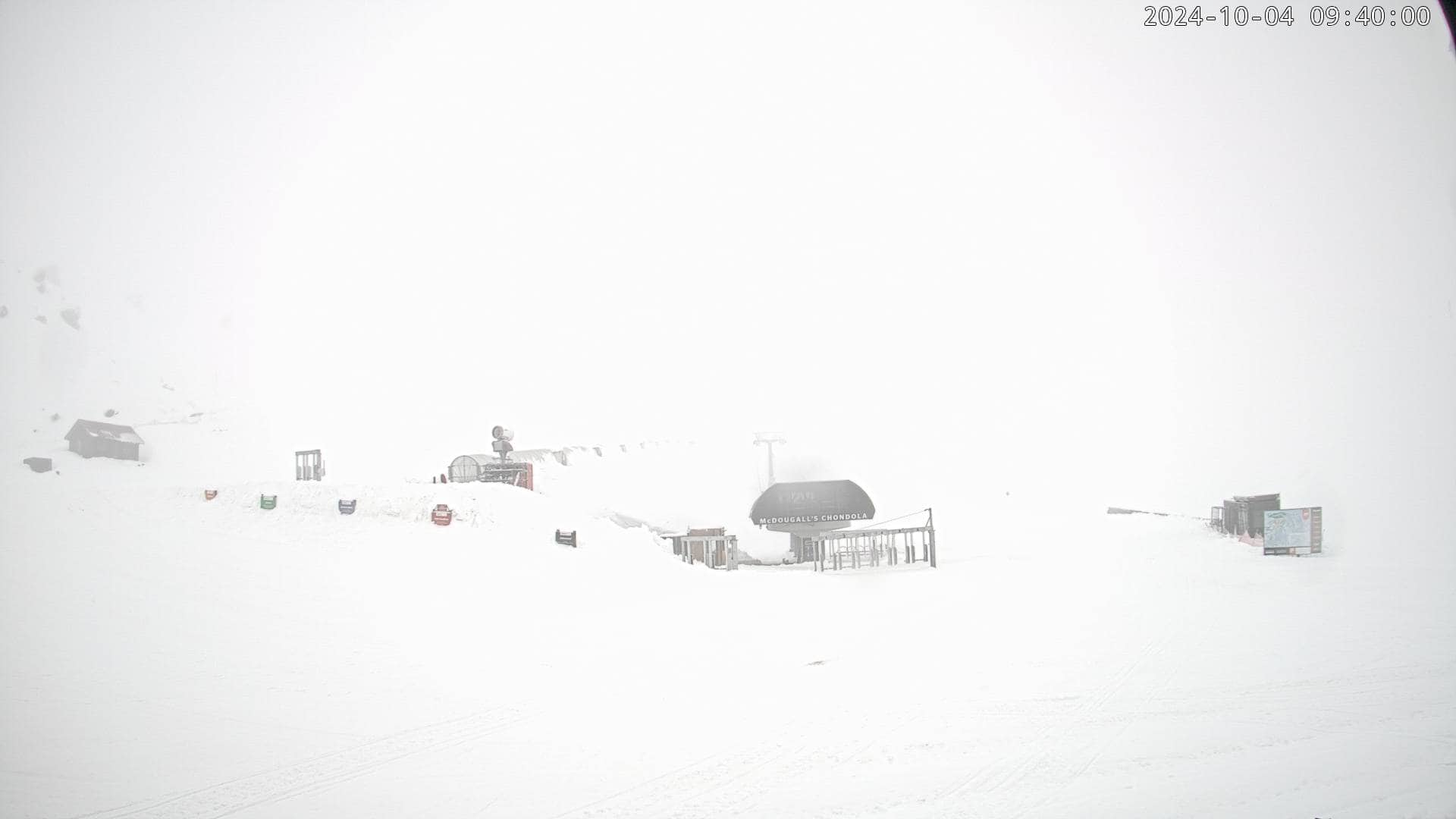
A wet, claggy one for South Island resorts, with rain, drizzle and low visibility throughout much of the day, although snow may fall about upper slopes. Strong east-to-southeast winds in exposed areas will back off in the afternoon.
A nice, sunny day for Mt Ruapehu with a northerly breeze.
Saturday October 5th
Cloud clears South Island resorts in the morning. It’ll stay nice and sunny for the Southern Lakes in the afternoon, but a few showers will kick up over Canterbury, with snow falling about the upper slopes. Light north to northeast breezes.
On Mt Ruapehu, rain develops in the morning with snow falling on mid-upper slopes. Whakapapa will be worse off, with clagged-in, low-vis conditions due to brisk northerly winds.
Sunday October 6th
A fine morning for South Island resorts, but cloud will build through the afternoon as a northerly breeze develops over the Southern Lakes and northwest winds pick up in Canterbury. There’ll also be some rain showers over Canterbury evening and night.
A nasty, rainy day for Mt Ruapehu with strong northwest winds reaching gale in exposed areas. Snow will fall about the upper slopes at first.
Monday October 7th
Cloud and a few light showers will clear South Island resorts sometime in the afternoon as the northwest breeze picks up a little.
Another rainy day with strong northwest winds for Mt Ruapehu. The rain clears at night as winds back off.
Extended Forecast
Next week, an active front will move up the South Island on Tuesday and then the North Island on Wednesday. The front will initially bring heavy rain and strong northwesterlies, followed by cold west to southwesterlies and light snow showers. Overall, the front may do more harm than good.
Early forecasts indicate we’ll have unsettled weather for that final weekend (12-13th October) with snow possible for the South Island. However, it’s a long way off so we’ll have to wait closer to the time before making any big calls.
That’s all from me today, folks. The next forecast will be out Monday, see you then and have a great weekend.
Grasshopper


