New Zealand Weekend Forecast, Friday Sept 20th – Pre-Weekend Top Up Tonight, Then More Snow, Rain and Strong Winds as Spring Westerlies Continue

Mountainwatch | The Grasshopper
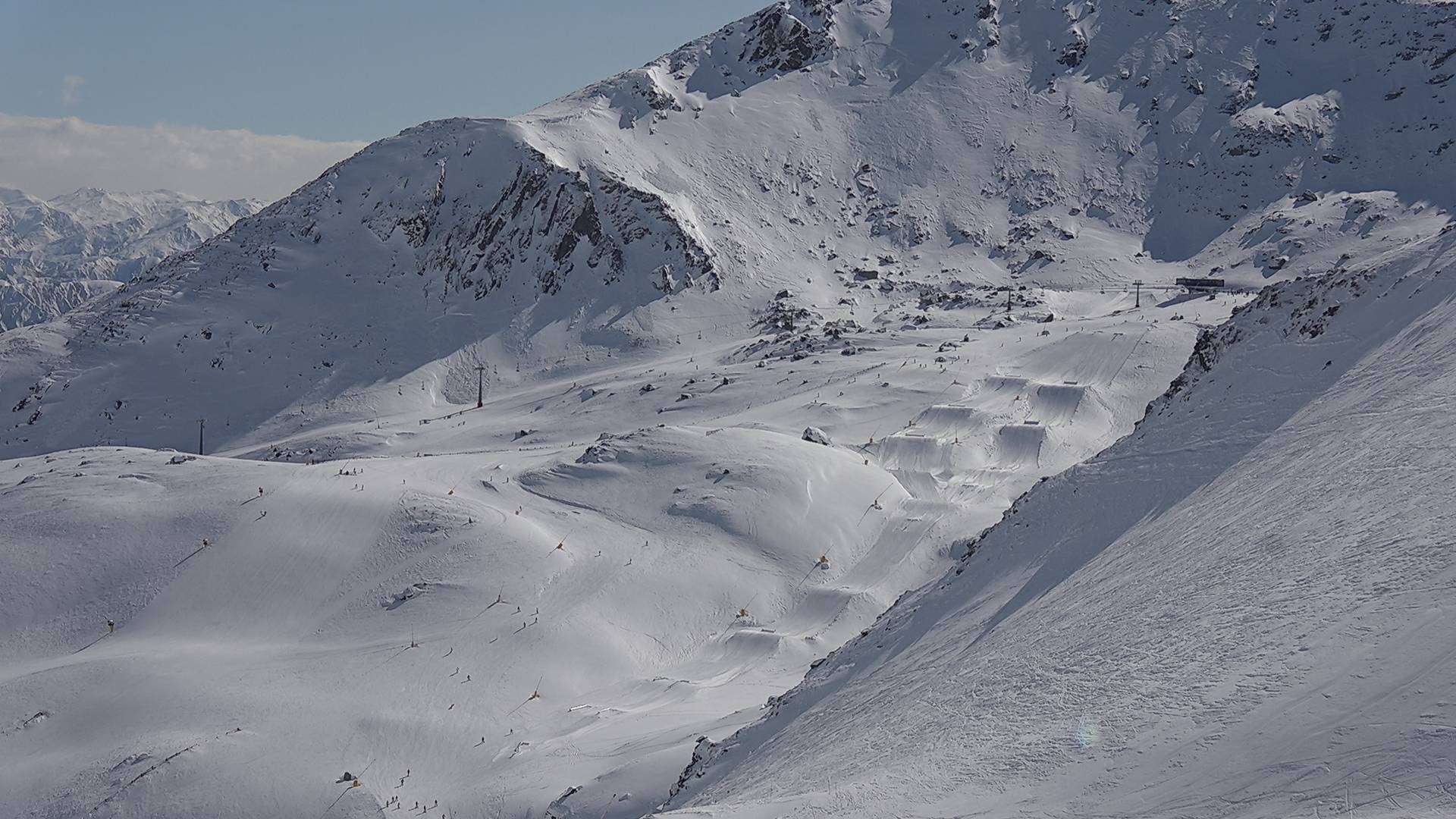
Kiwi resorts have picked up a little more snow in the last couple of days as spring westerlies continue to bowl a never-ending procession of fronts over the country. In the last seven days, the Southern Lakes has received around half to three-quarters of a metre of powder; conditions there are now the best we’ve had in years.
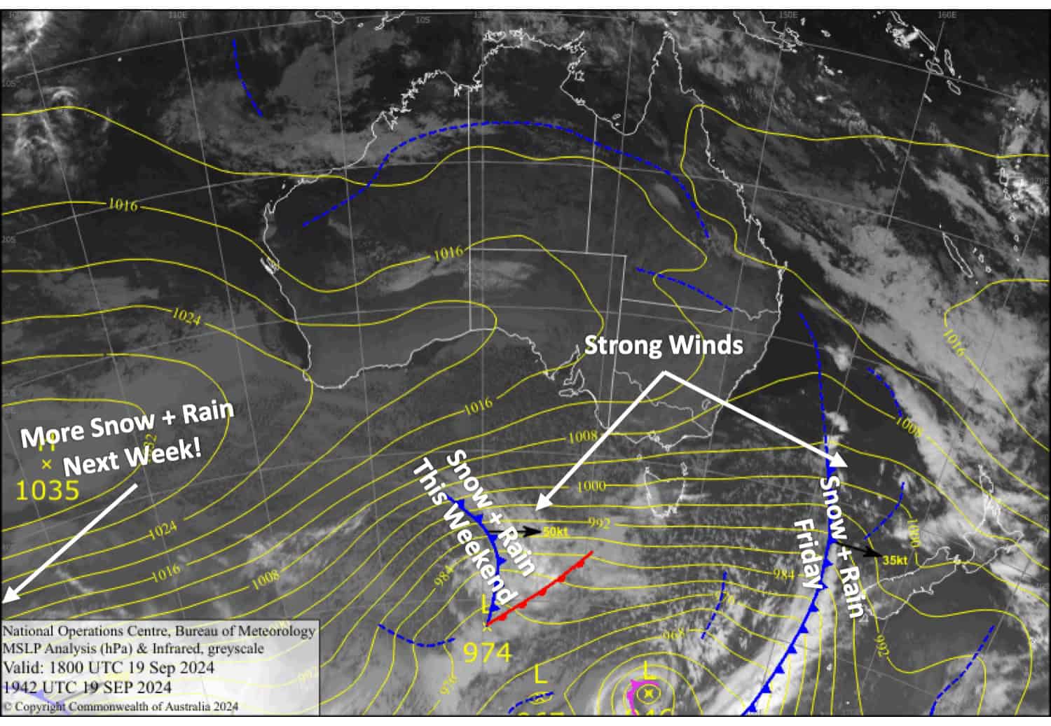
Conditions will remain changeable over the next several days as a front passes over the country every day or two, bringing a mix of snow, rain, and strong winds. The Southern Lakes will again capitalise on the situation, with decent snow accumulations expected. Snowfall will mostly be restricted to mid- and high elevations in Canterbury and on Mt Ruapehu.

Friday 20th September
A fine start for South Island resorts, but a front from the west will bring a period of snowfall this afternoon into the evening. Between 3-10cm is expected to fall on the Southern Lakes and Ohau, and up to 2-4cm about the Craigieburn Range which will fall as rain on lower slopes. Mt Hutt will just see a little rain in the evening. Gusty northwest winds reach gale in exposed areas.
Snowfall on Mt Ruapehu will become heavier and more persistent in the afternoon as northwesterly winds strengthen, however, it’ll likely fall as rain at base levels. Around 10-20cm is expected on mid and upper slopes before clearing at night.
Saturday 21st September
Partially sunny and cloudy skies over the South Island. Light snow showers spilling over the Main Divide will likely reach Treble Cone in the afternoon, with the odd one possibly showing up elsewhere the Southern Lakes before becoming more widespread in the evening. Northwest winds will become strong in exposed areas.
A mostly fine morning for Mt Ruapehu before cloud and light showers of rain and mid- to high-level snow move in for the afternoon. Strong westerlies ease and turn northwest.
Sunday 22nd September
Another front from the west will drop about 5-10cm of fresh snow over the Southern Lakes in the early hours before opening, but Treble Cone could receive around 10-20cm. However, it may fall as rain and sleet about the lower slopes. Clouds will gradually break up during the morning for a sunny afternoon with northwest winds.
Canterbury will also receive a dusting of mid- to high-level snow about the MacKenzie Basin and Craigieburn Range early in the day, but Mt Hutt will just see a little rain again. Skies will gradually clear for a fine afternoon as gale northwesterlies abate.
A mostly grey, rainy, drizzly day for Mt Ruapehu with brisk northwest winds.
Monday 23rd September
A couple more fronts pass over the South Island – the first before lifts open, the second after they close. Both will dump a decent load of snow, but there’ll be rain mixed in at mid and low elevations, especially in Canterbury, where the second front may see rain fall at high elevations. Between the two fronts, the day itself will be partly sunny/cloudy with strengthening northwest winds, reaching gale force in exposed areas.
A fine start for Mt Ruapehu, but rain and drizzle will return later in the morning, falling as snow about mid and upper slopes. Brisk westerly winds again.
Extended Forecast
On Tuesday, strong, cold westerlies gradually ease over the country while remaining snow flurries over the Southern Lakes clear.
Later next week, we’ll see a huge temperature swing as a front moves up the South Island on Thursday and the North Island on Friday. Heavy rain will fall in a strong, warm, northerly flow ahead of the front, followed by a top-up of snow as a cold south-to-southwesterly change sweeps up the country.
That’s all from me today, folks. The next forecast is Monday. See you then, and have a great weekend.
Grasshopper


